The Red Desert

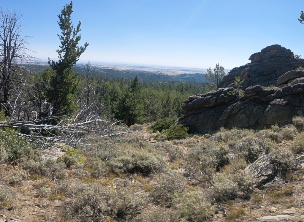
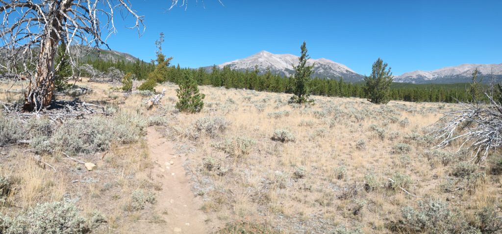
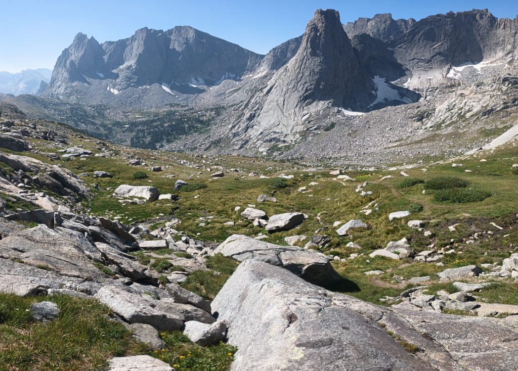
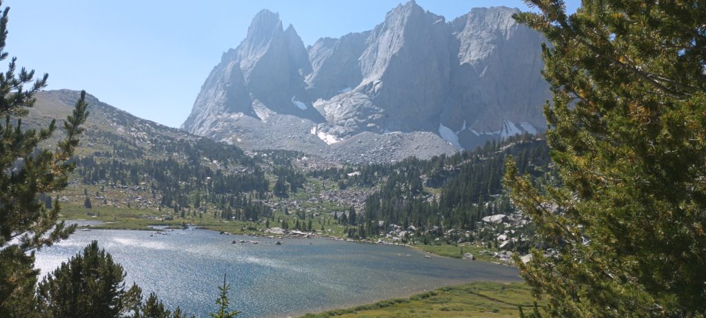
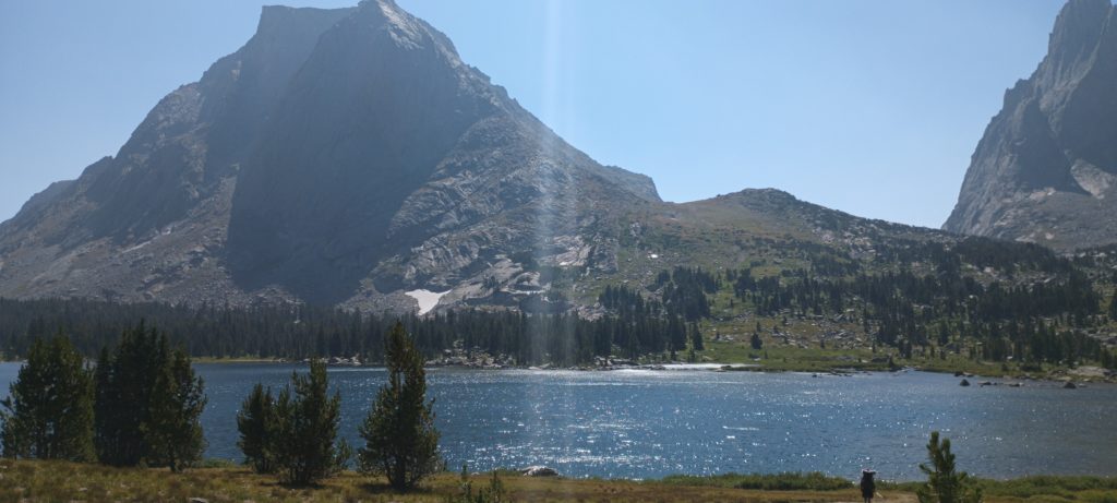
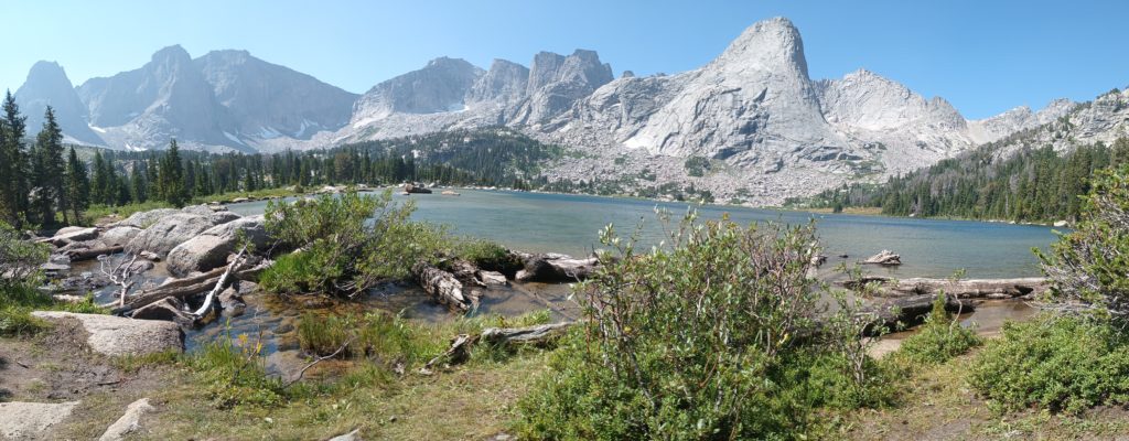
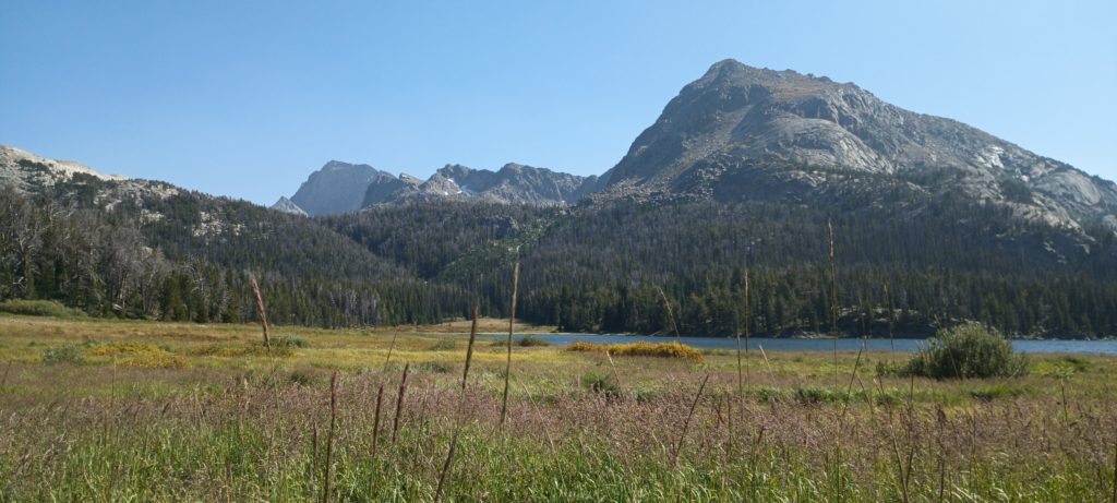
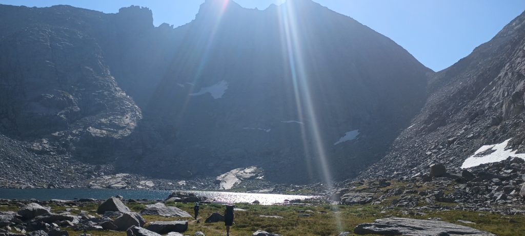
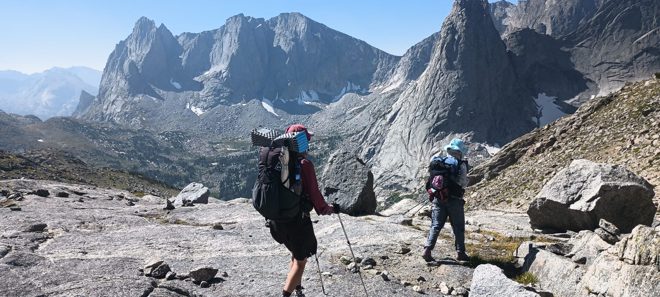
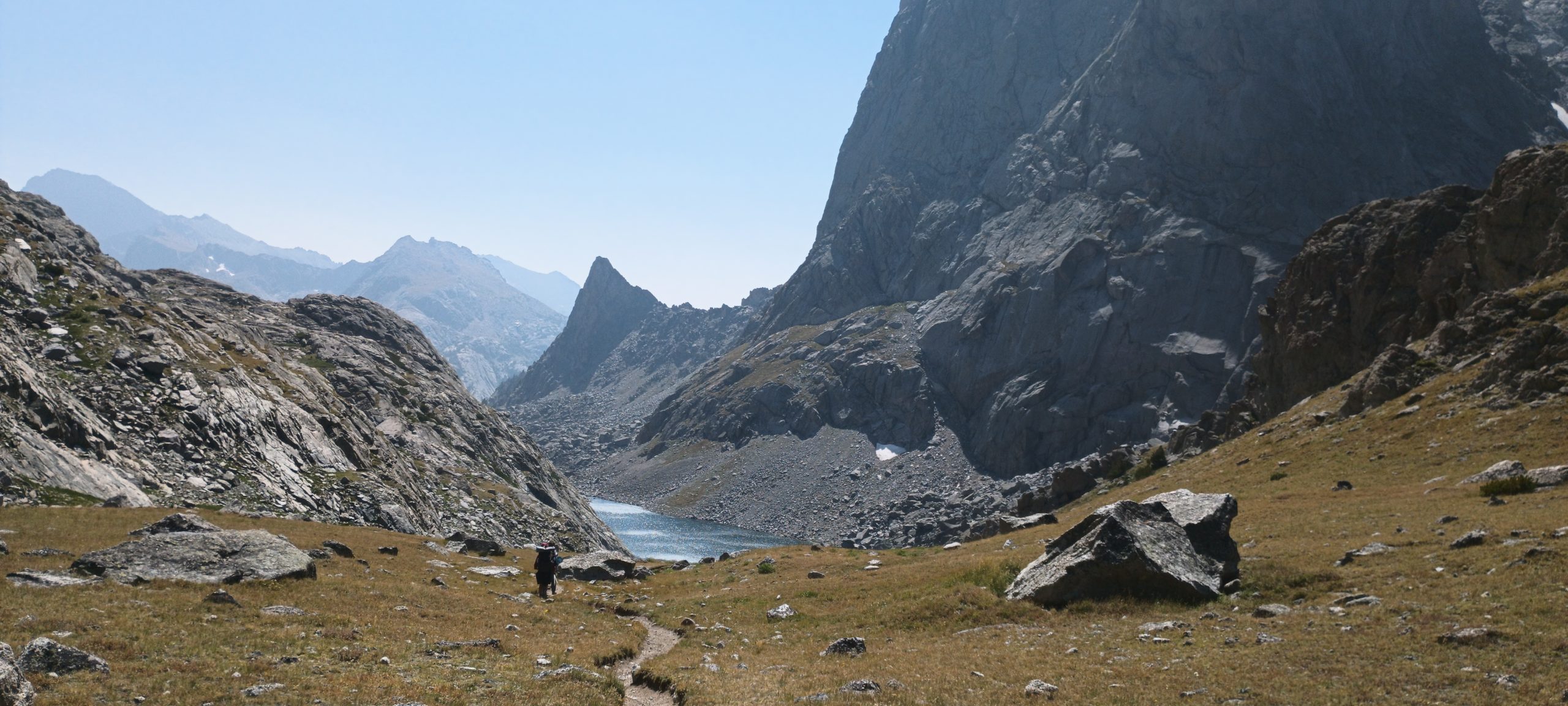
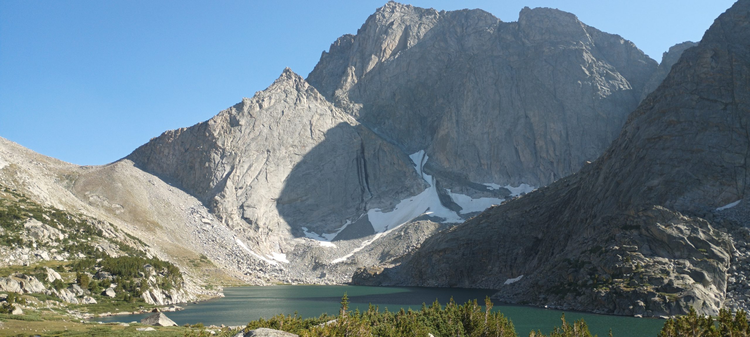
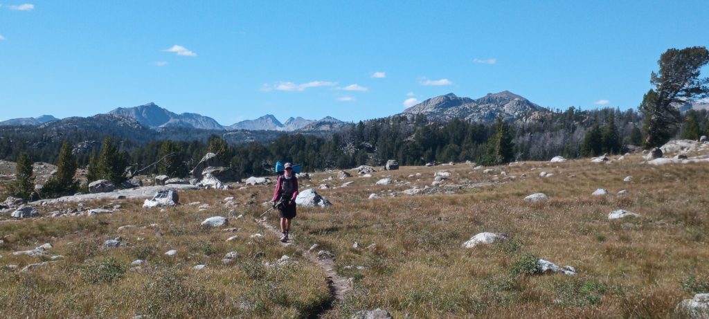
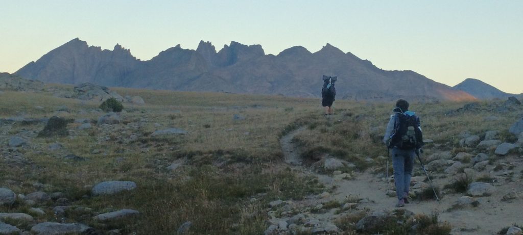
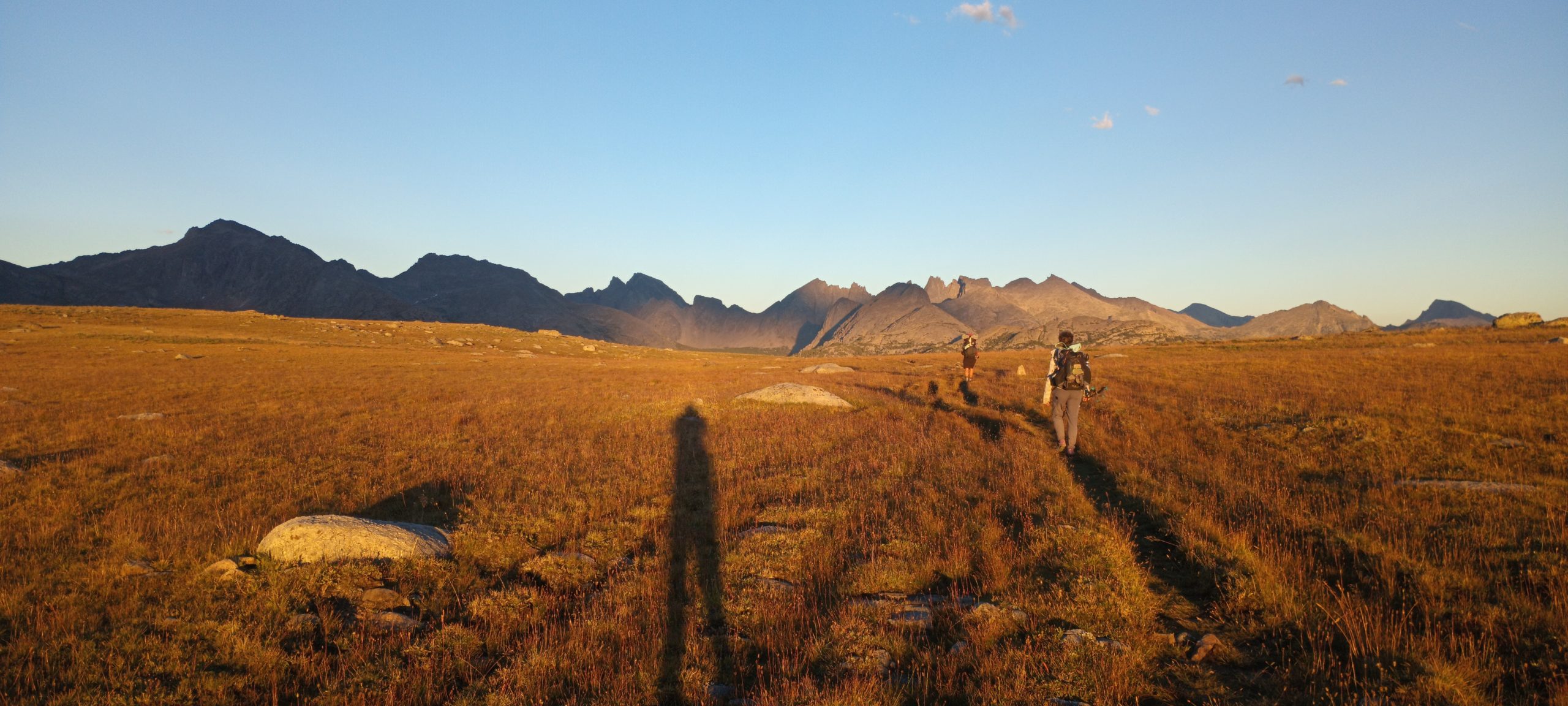
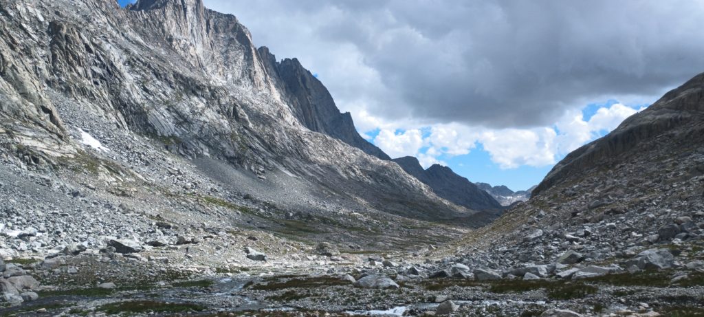
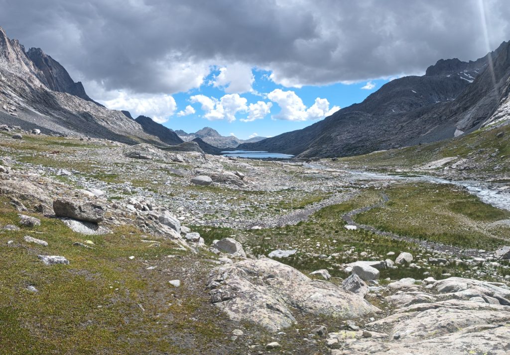
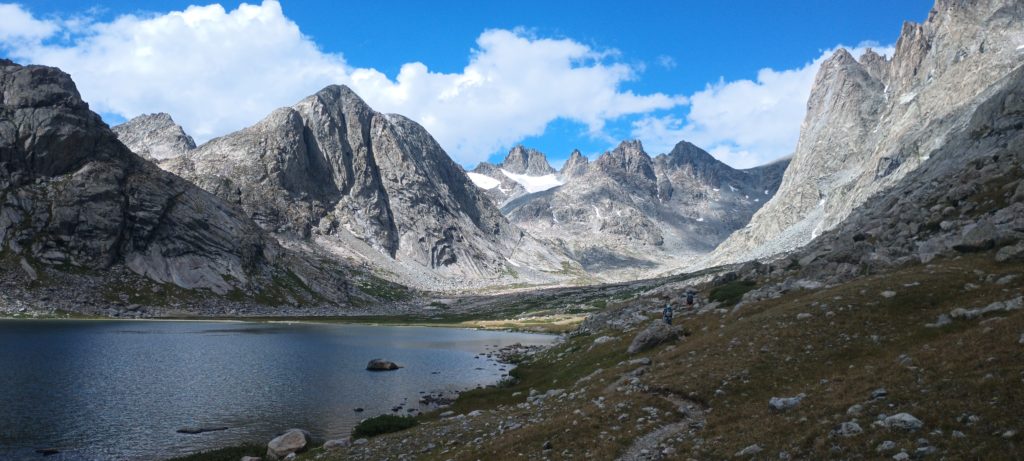
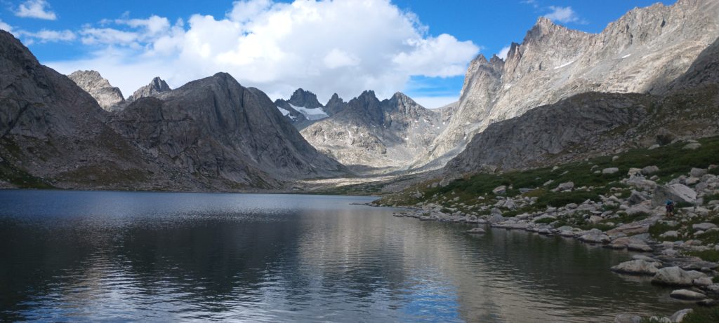
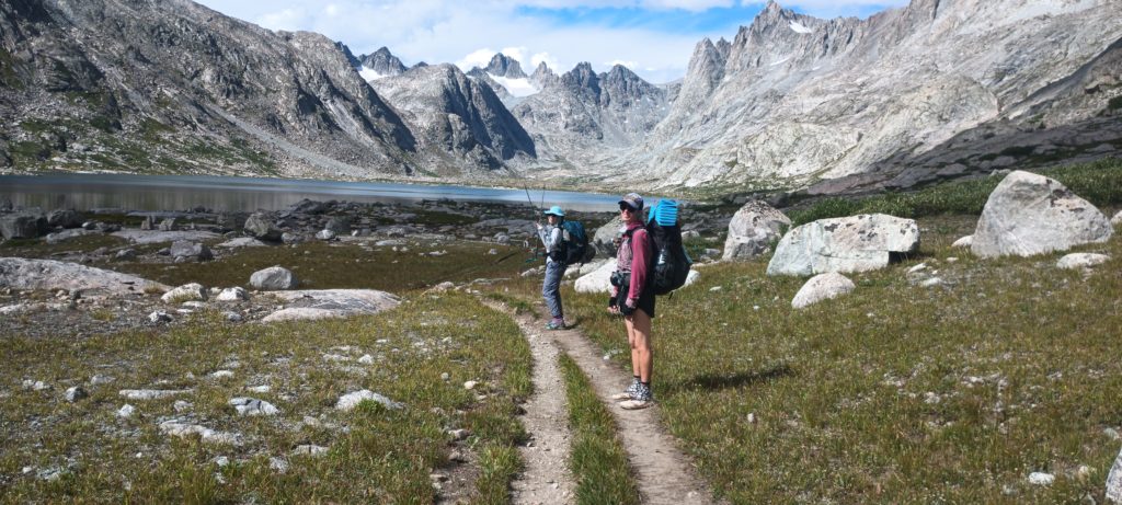
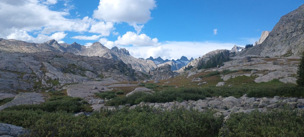
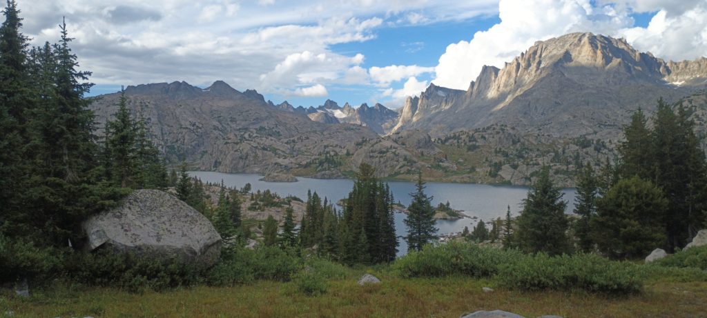
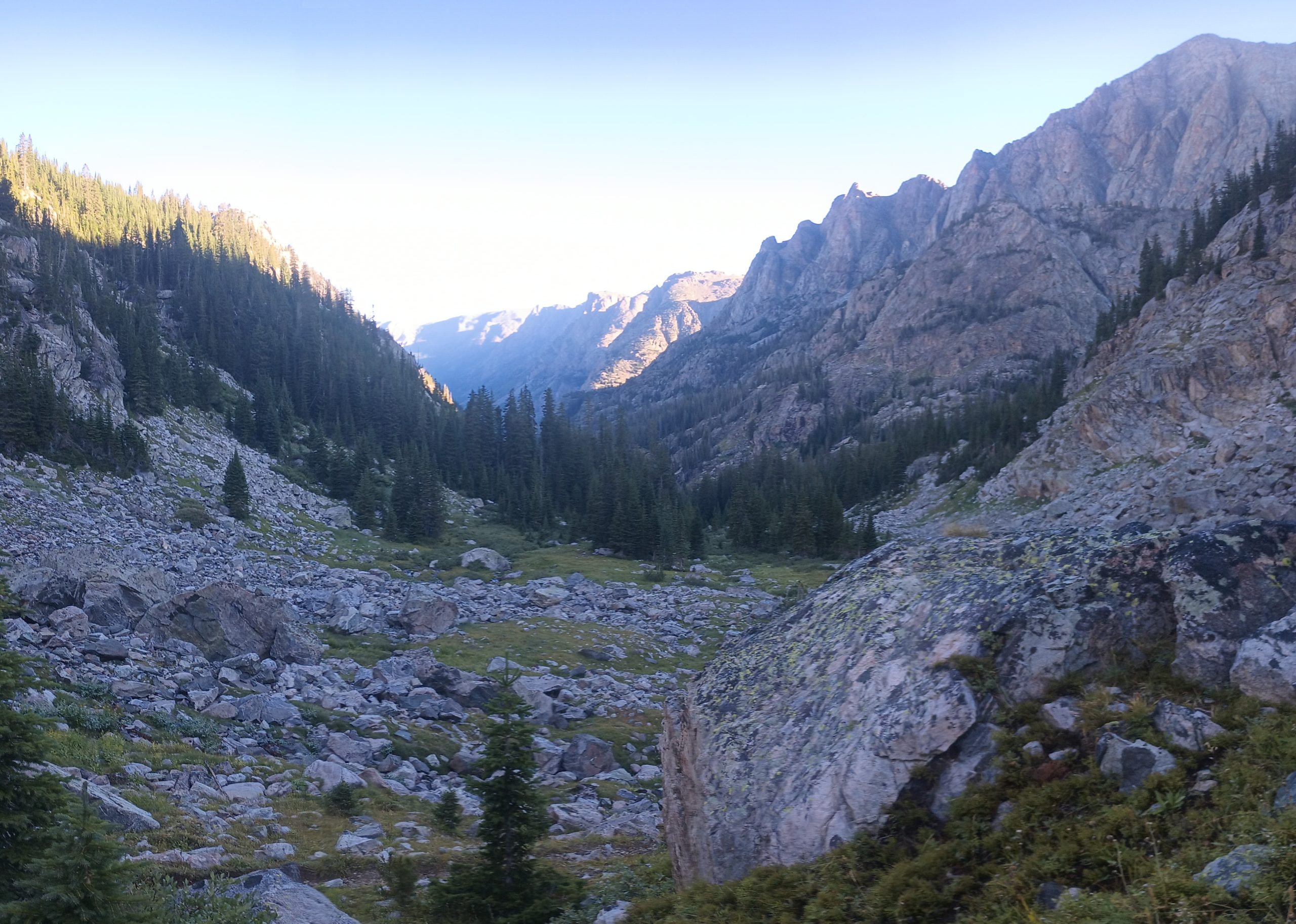
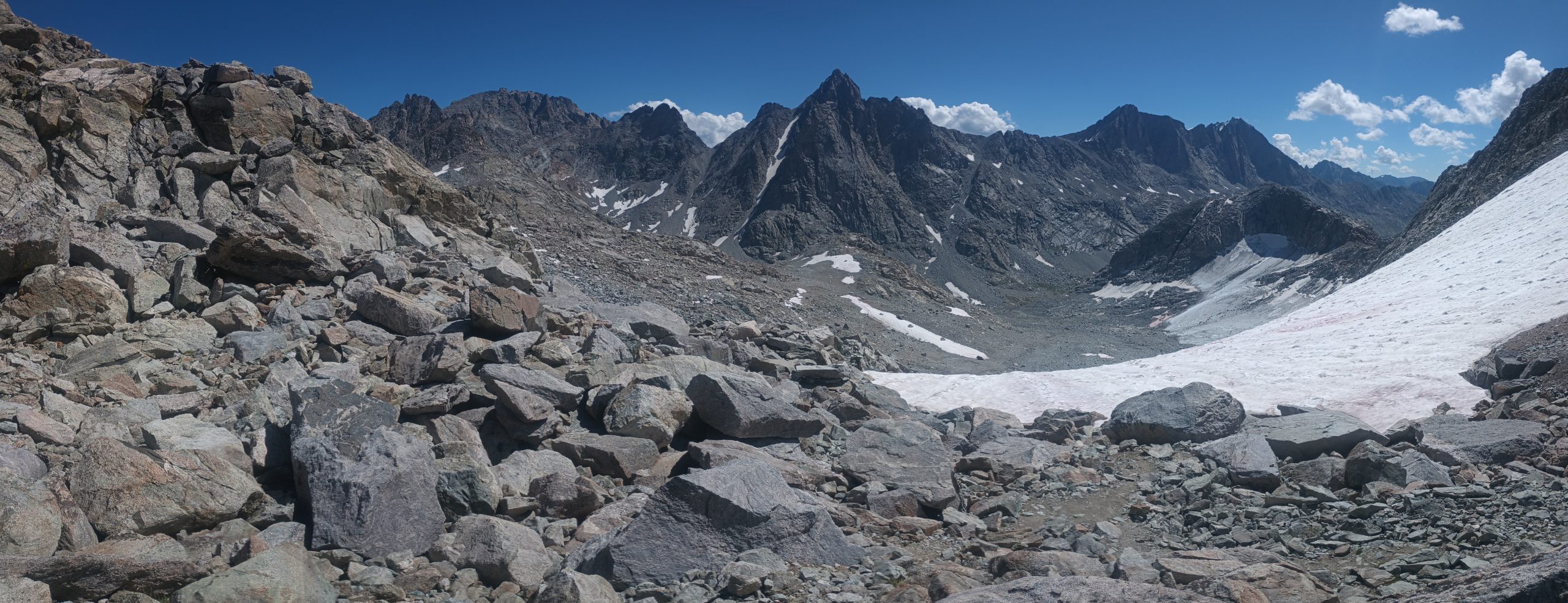
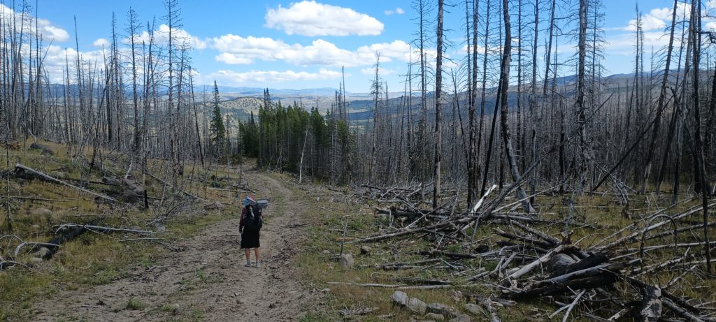
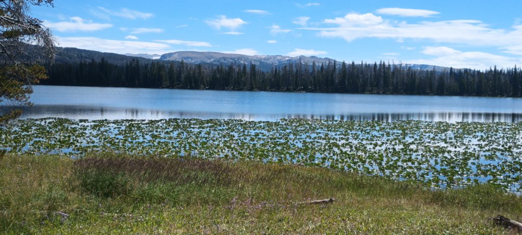
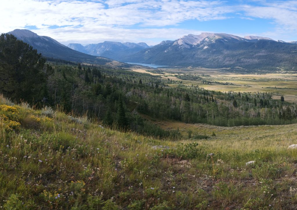
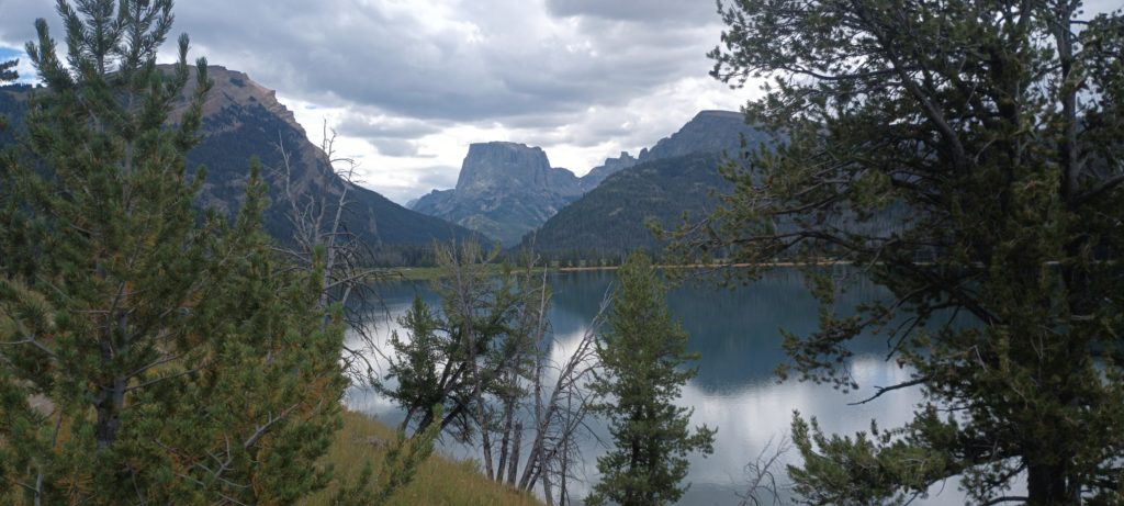
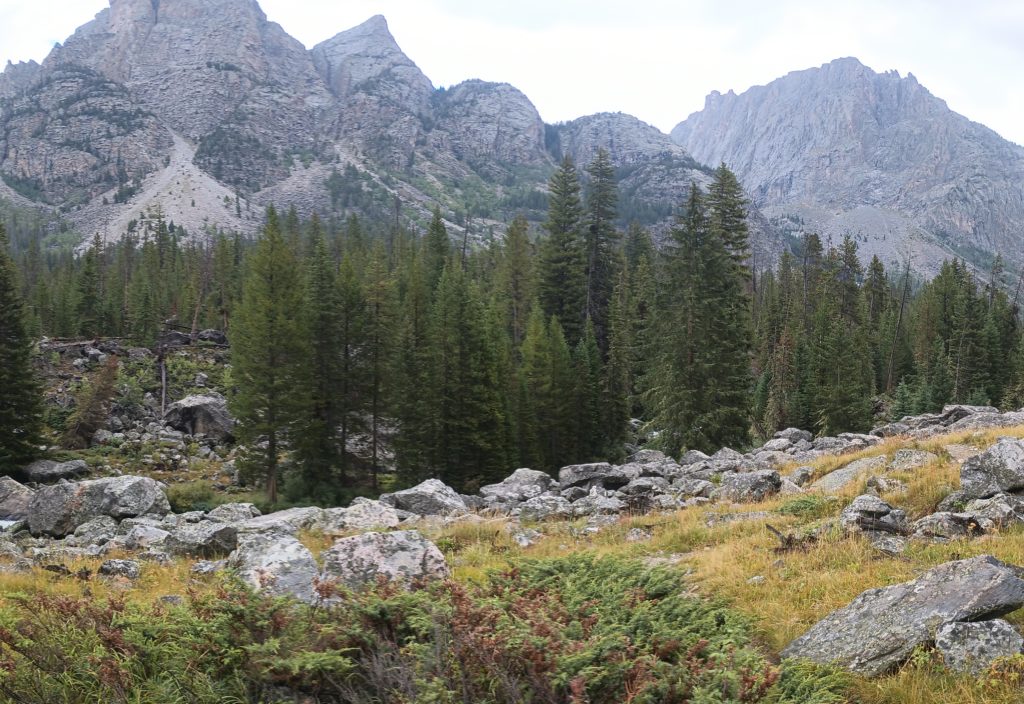
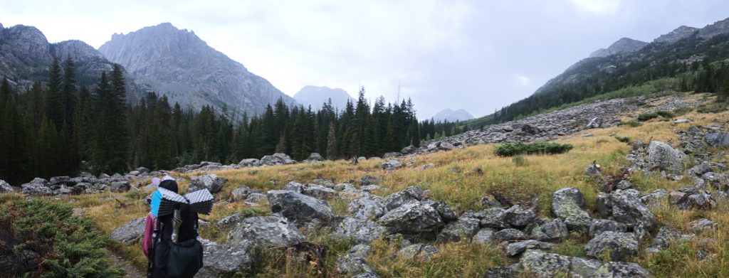
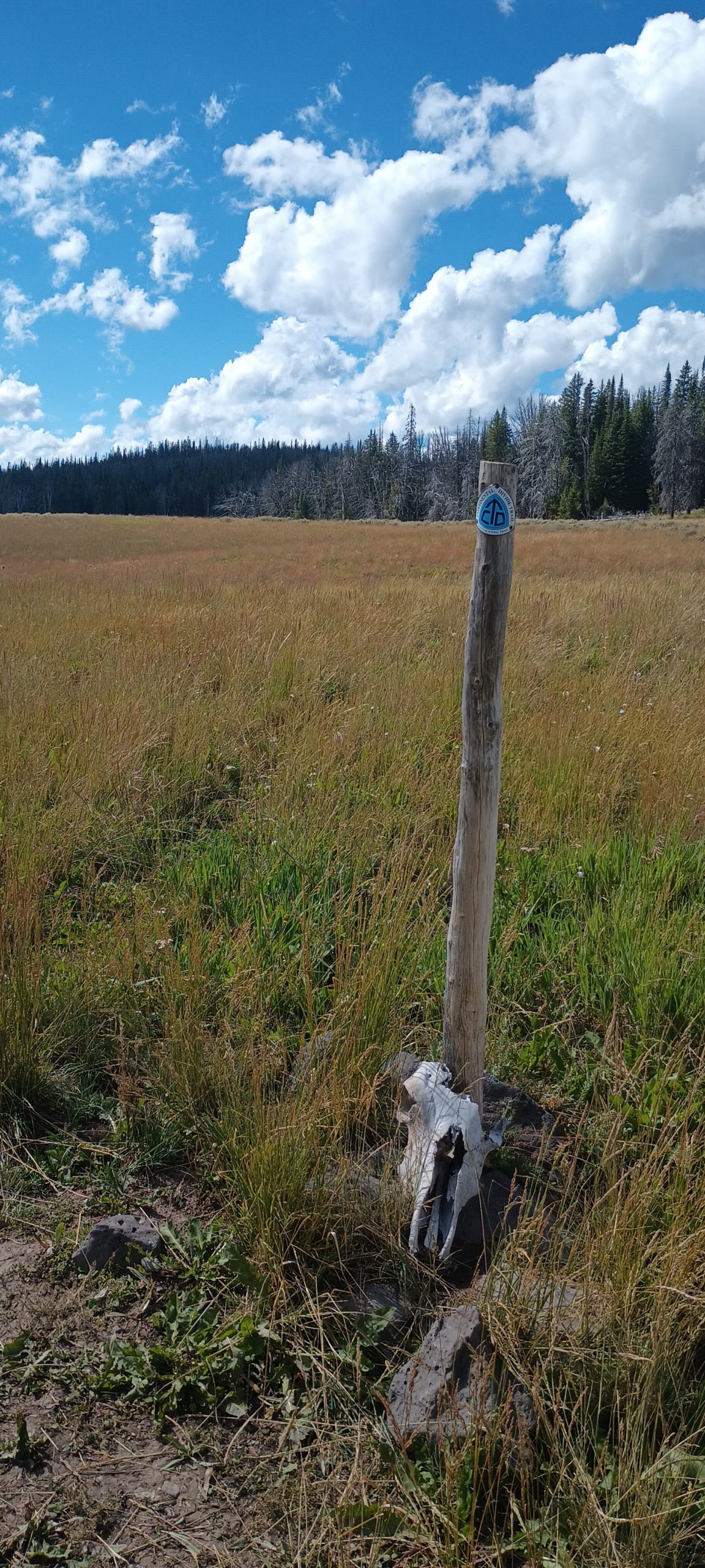
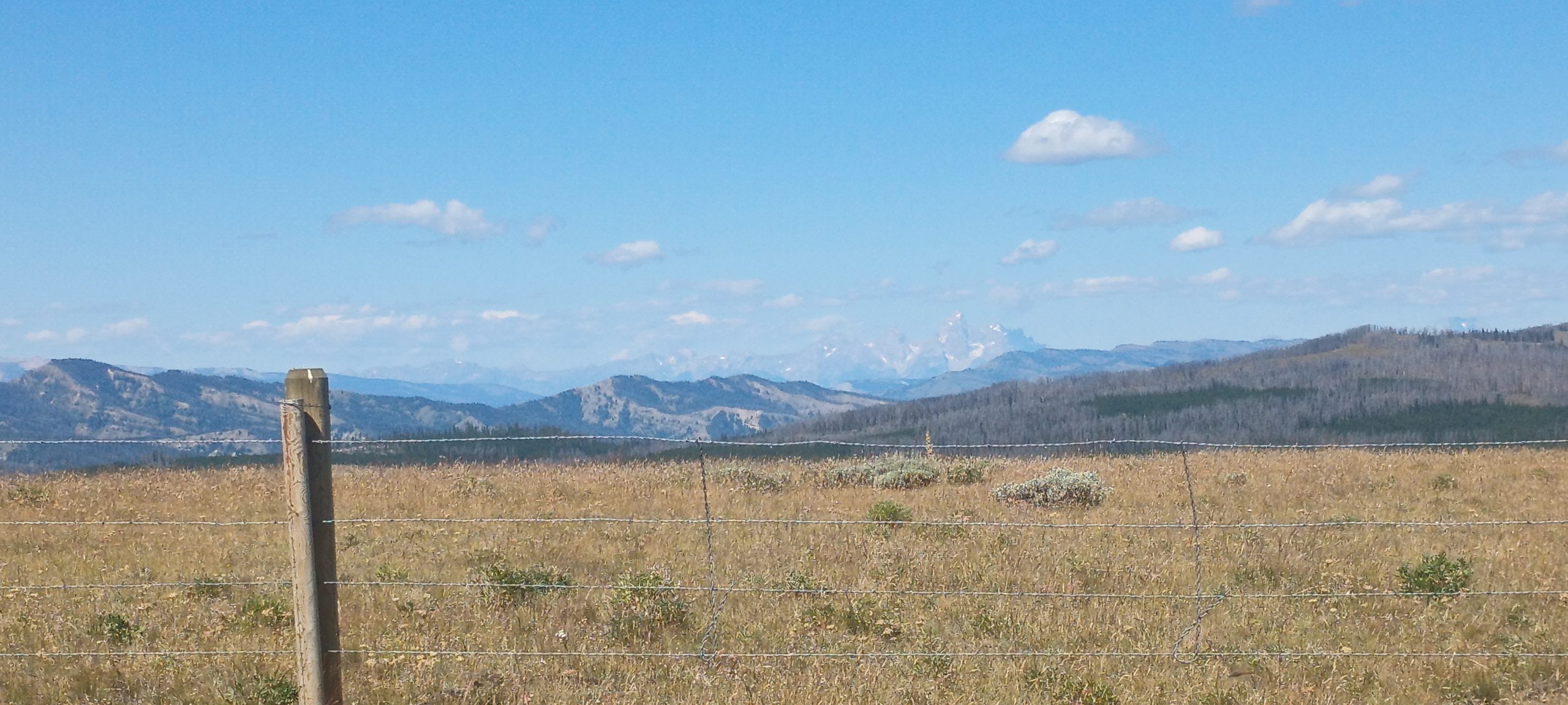
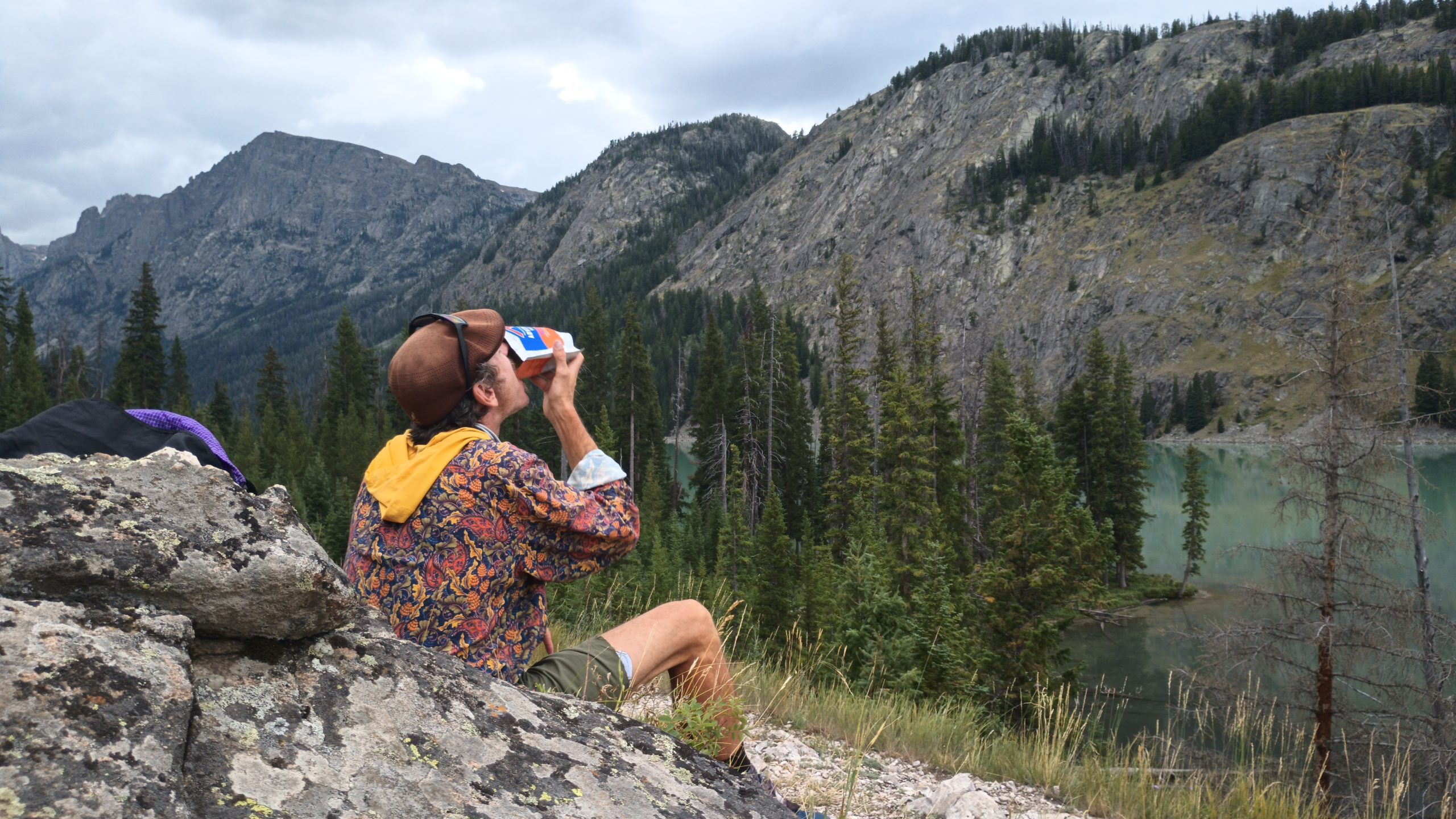
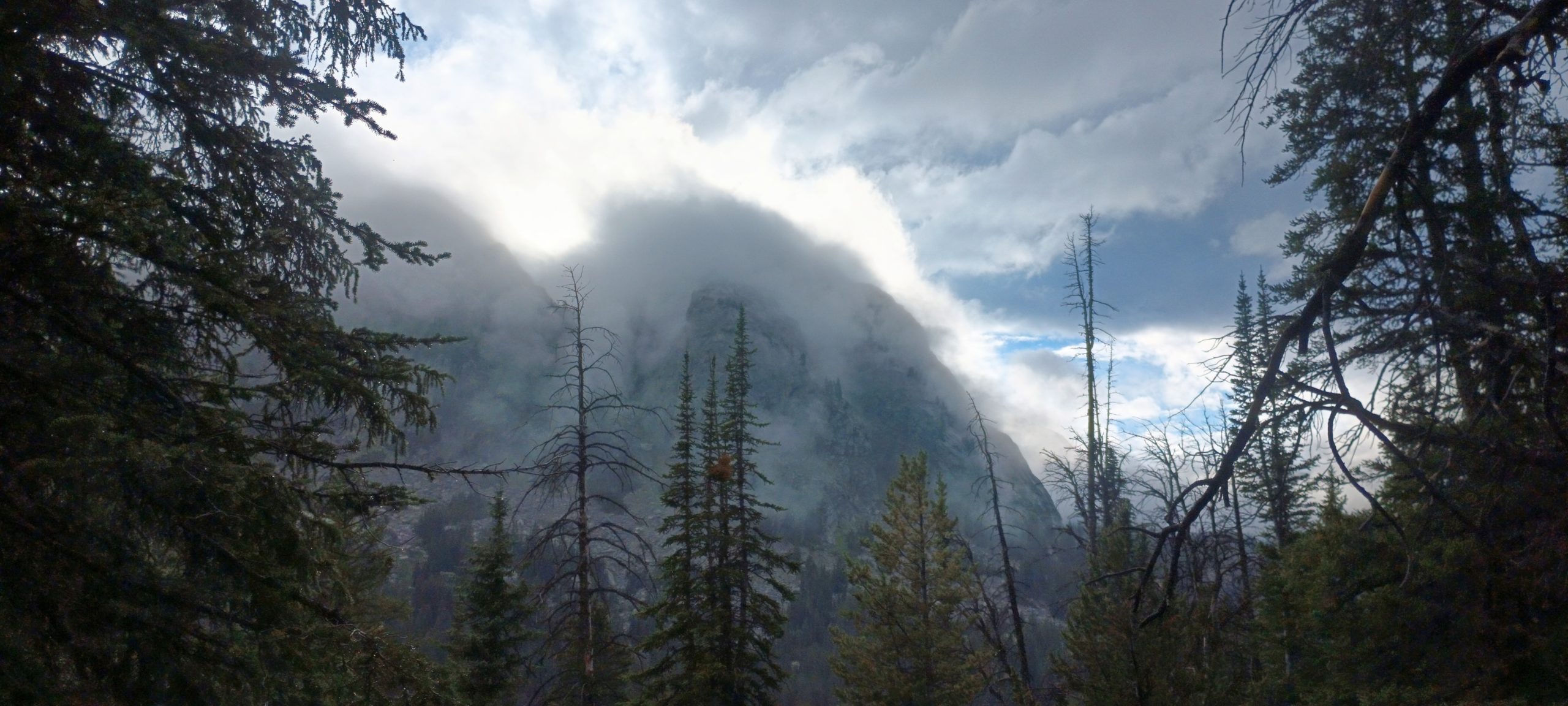
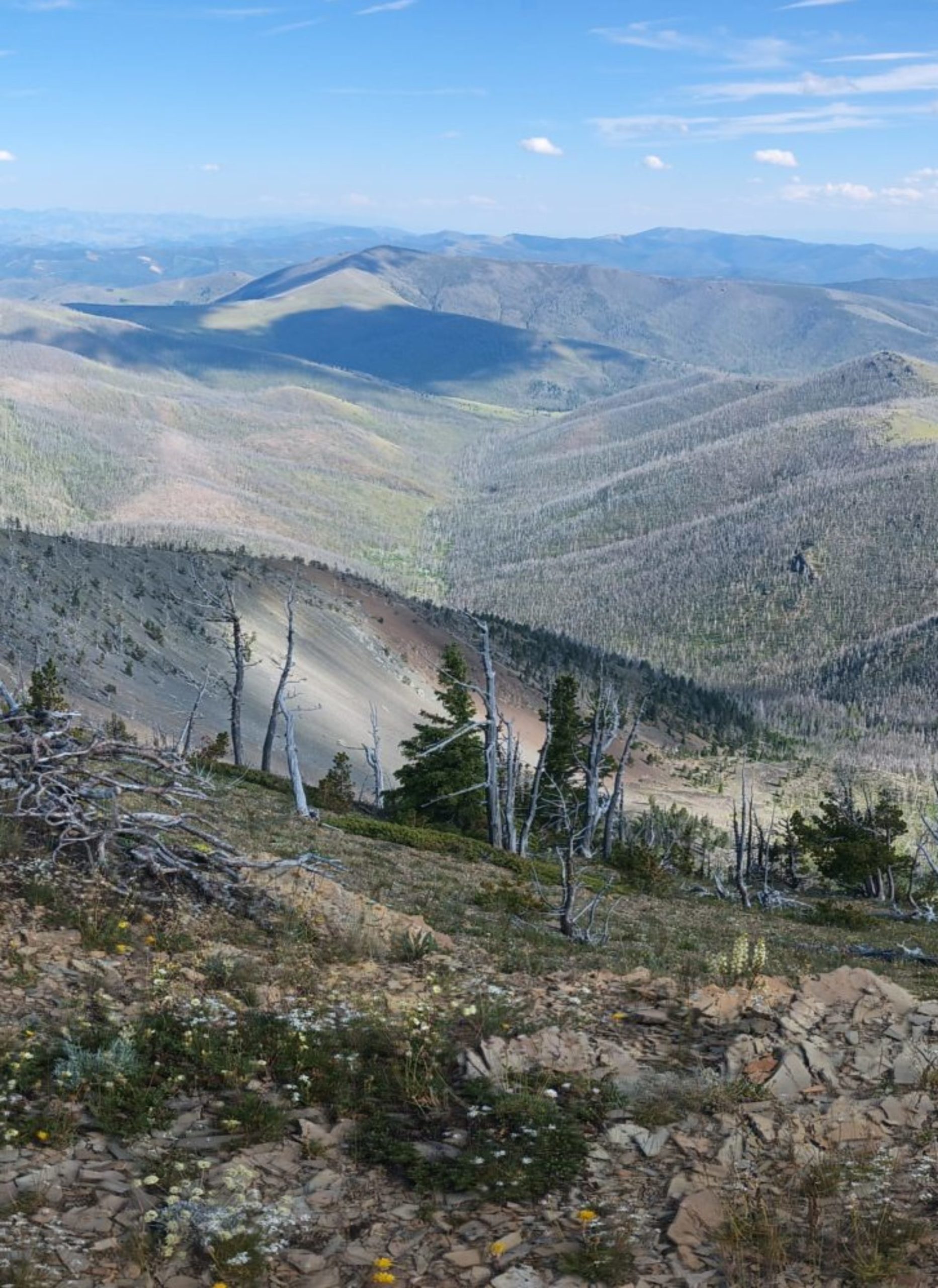
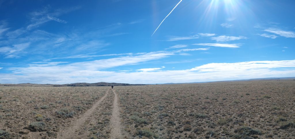
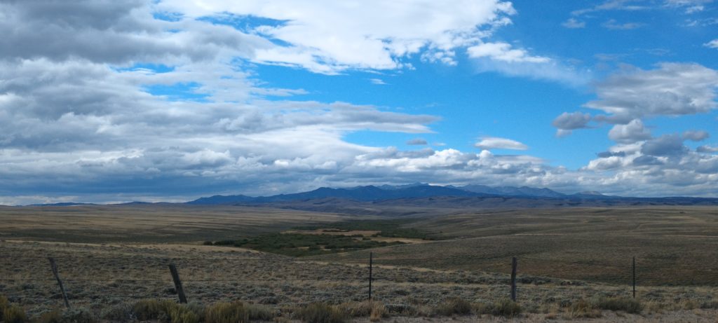
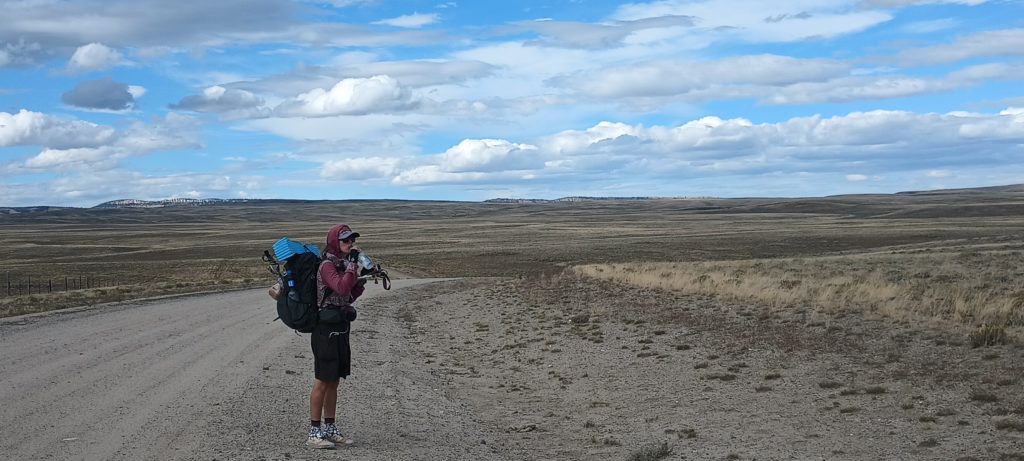
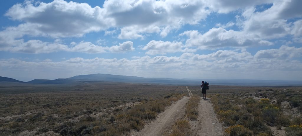
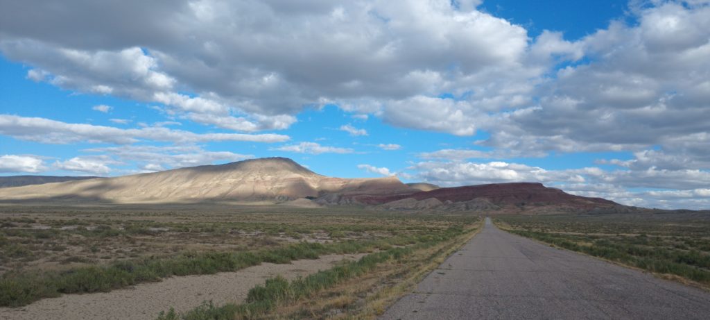
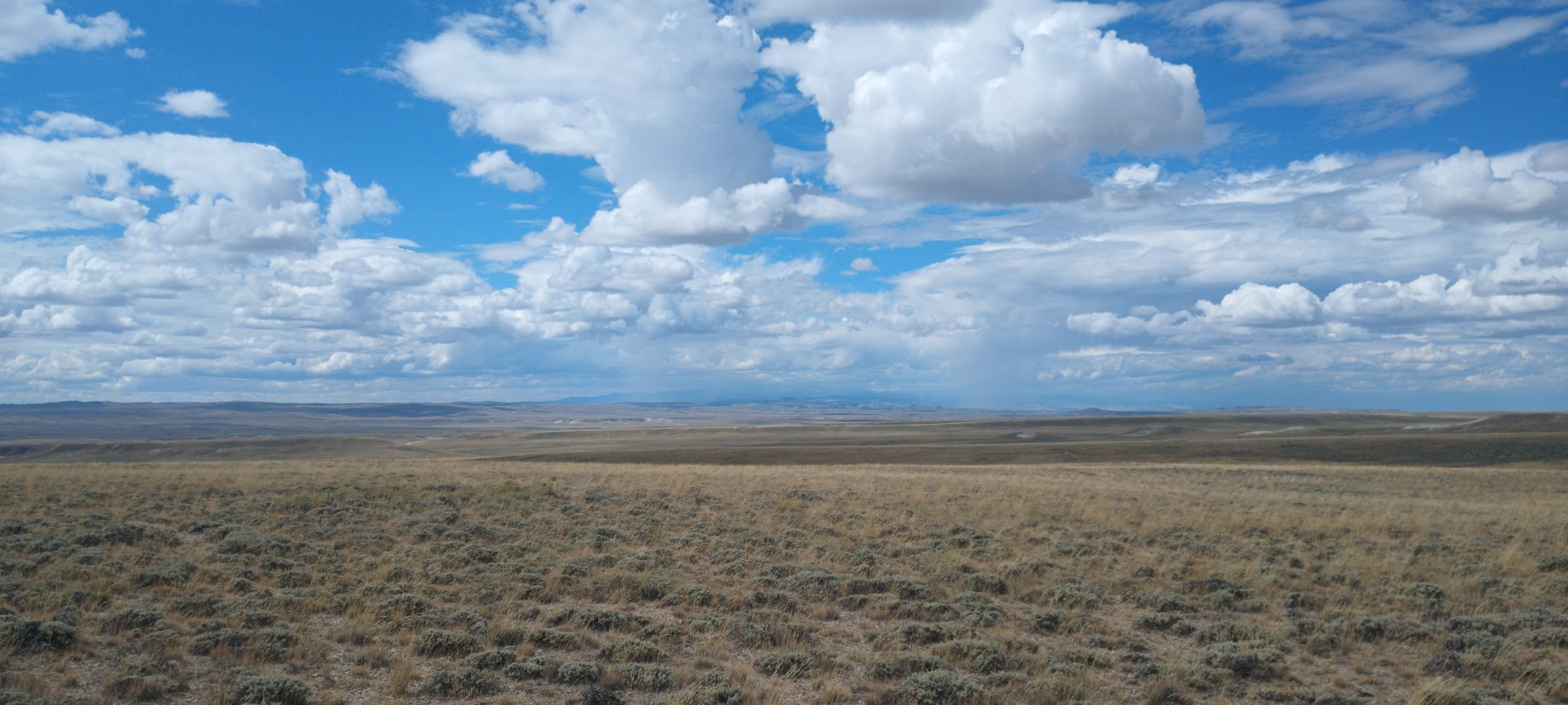
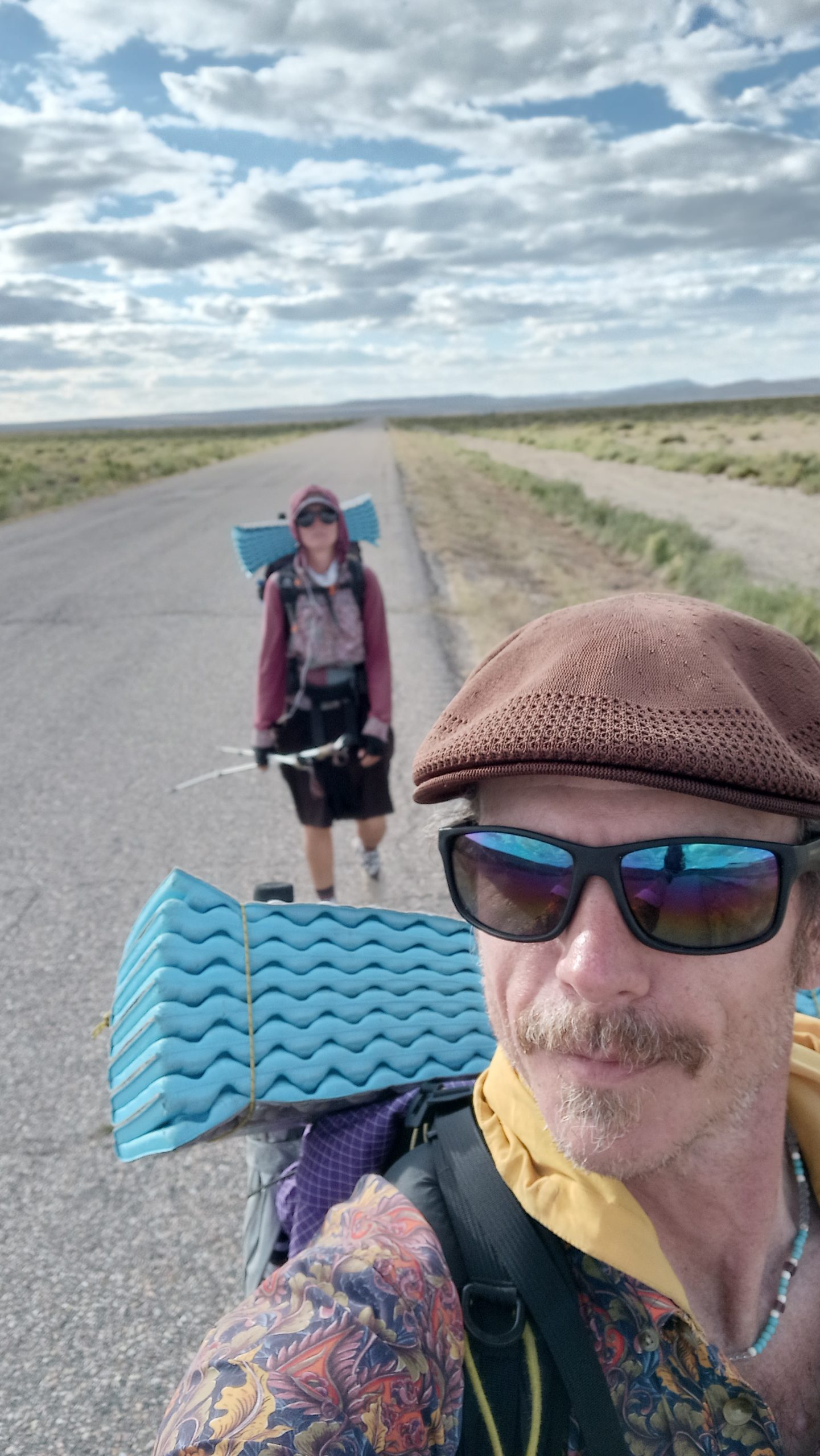
For hundreds of miles the Red Desert stretched before us like an ocean of sagebrush whose waves did not move.  We had a few days of fair weather ahead.  Deep in the distance behind us, the Wind River Range began to gather clouds around its summits, but miles of sun and wind now lay between us and the mountains. We all were working on the whole loaf of PBJs we each packed out and we were making good time. 

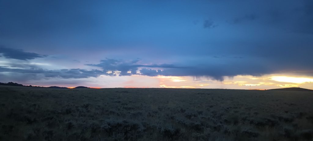
Close to the end of our second day and 60 miles into the desert, Rattle started to feel ill.  All three of us gathered water beneath the nearly full moon and made camp.  We were out of grizzly country and could finally hike well into the night, but tonight we had to stop earlier than planned.  Sometime late into the night it began to rain.

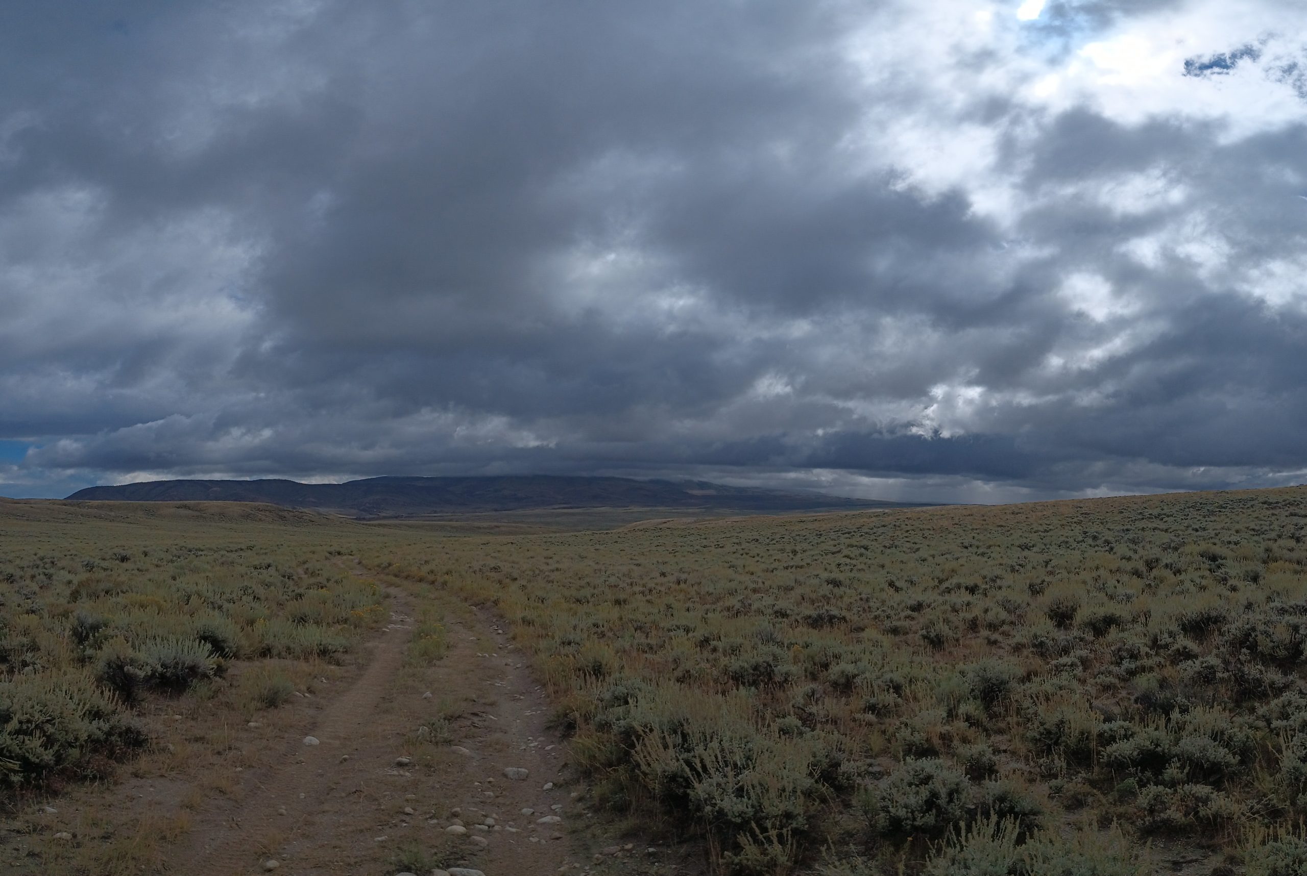
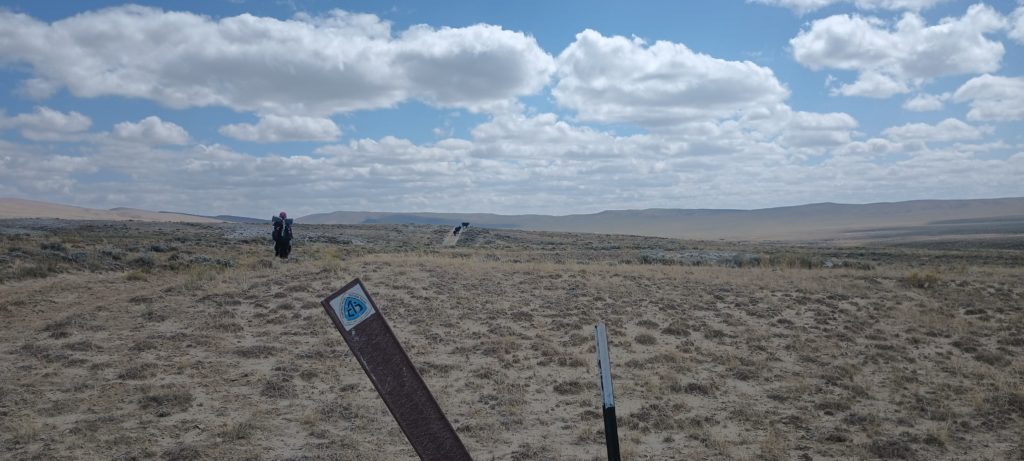
The next morning, Blueberry asked if we should plan a pace together or just meet in Rawlins.  Rattle was still feeling off, and we parted ways with Blueberry.  She left camp and hiked away into the gray horizon.  We slowly packed camp and eventually started walking as the rain began again.

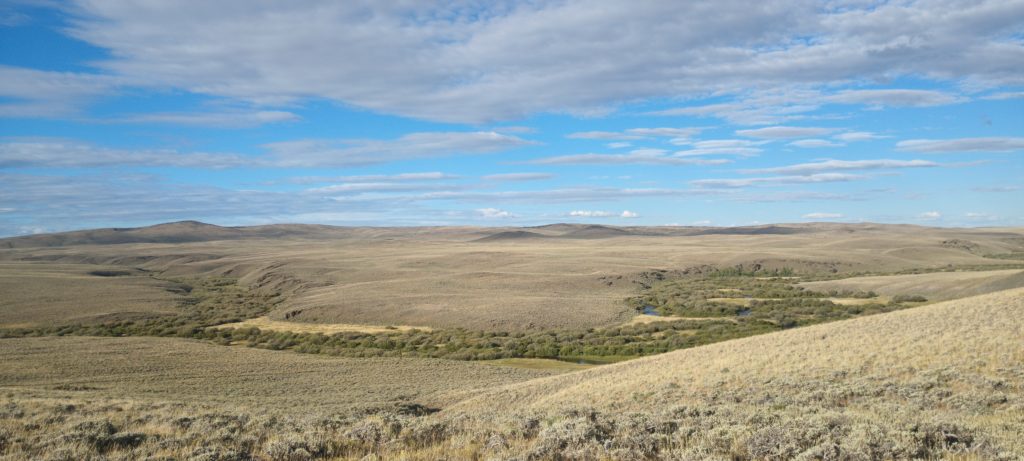
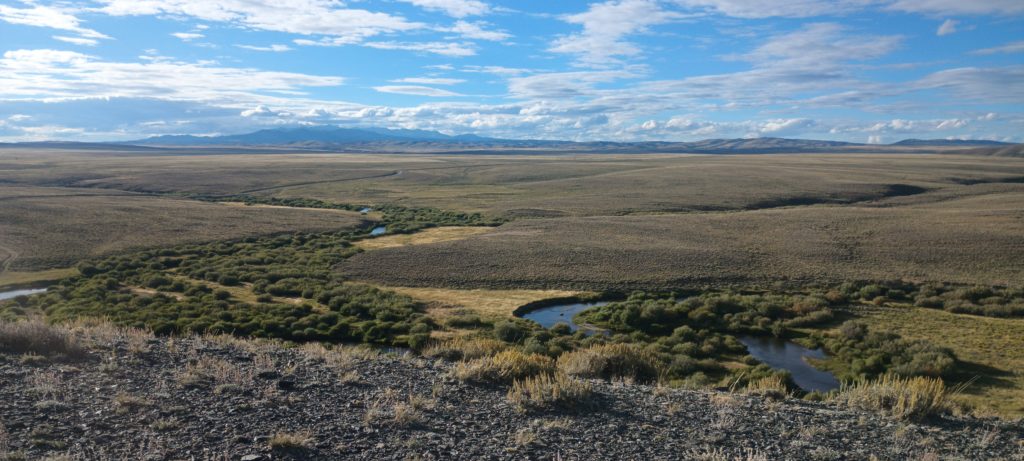
With no trees to protect us, the rain and wind whipped at our exposed faces and stung our skin.  Our hands were numb.  We found a spring flooding the road and surrounding the rotting corpse of a cow.  We gathered water uphill from the stinking, decaying animal and pushed on into the bleak, cold day.

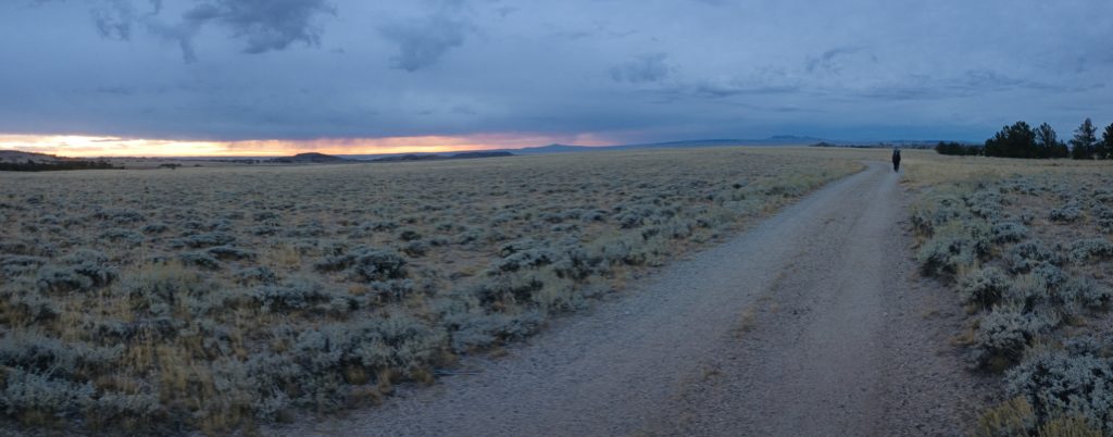
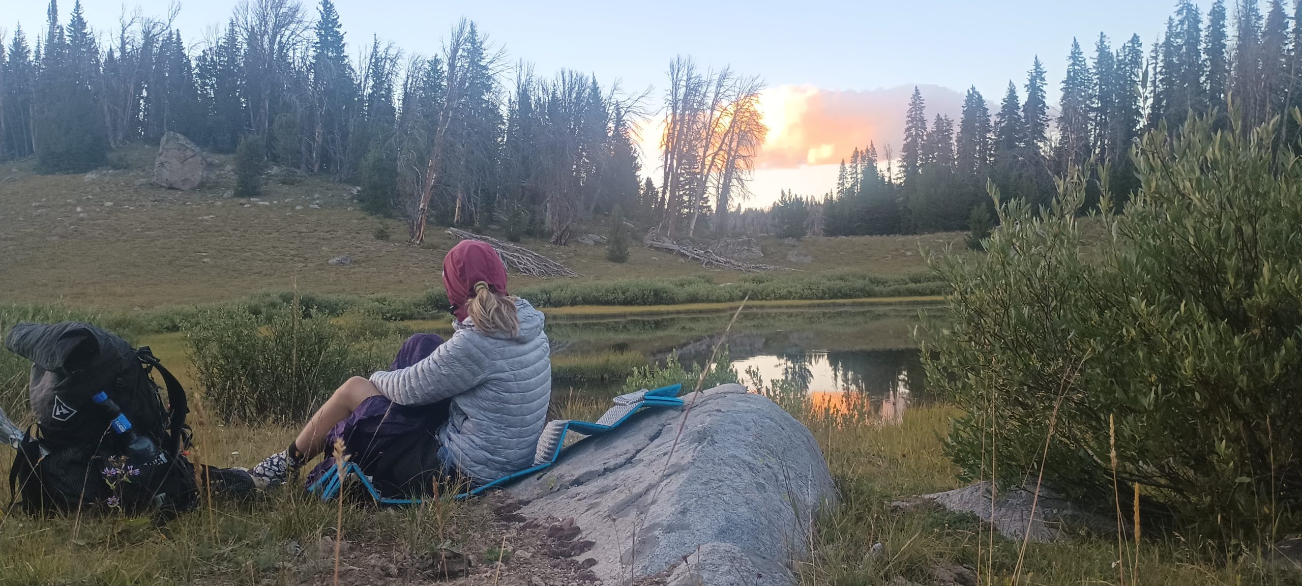
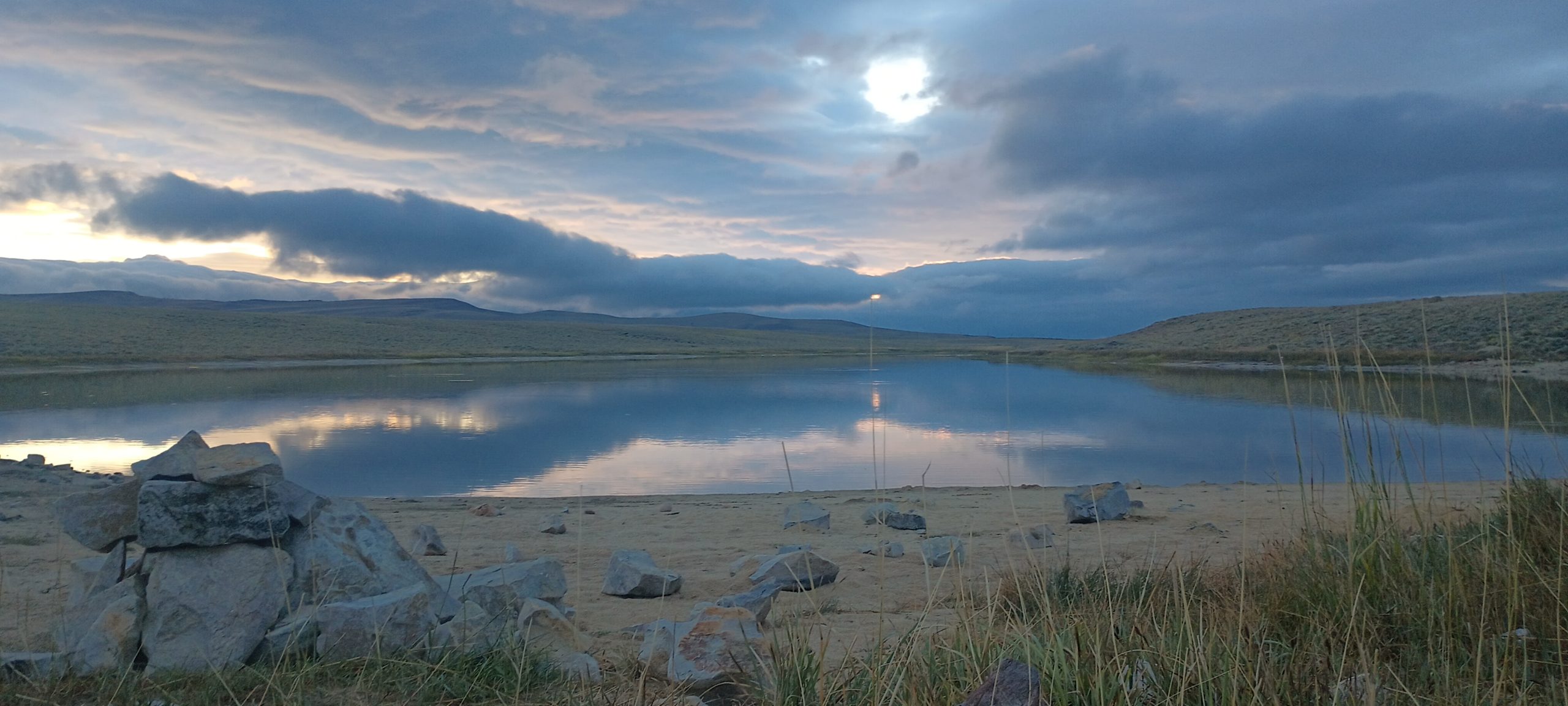
At around 3:00 we reached a road junction near a man-made reservoir and our maps showed a couple of campsites along its shore.  Taking inventory of the situation, we knew this was the warmest weather the day would bring.  We backtracked to the small lake, scouted for camp, and pitched the tent, guying it against the wind as best we could.  The relief of our quilts was as great as the day was cold, and we settled in to play cards and eat whatever rations we wanted.  The trail fortunately met a highway where we could hitchhike the last 20 miles of this section and considering the low mileage of the day, this seemed like the best idea.  We napped for hours, ate dinner, and slept through the windy night.

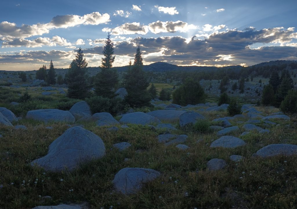
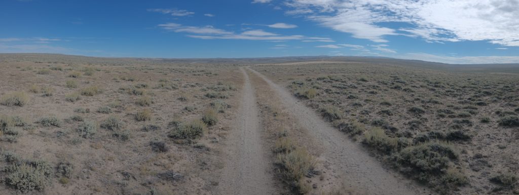
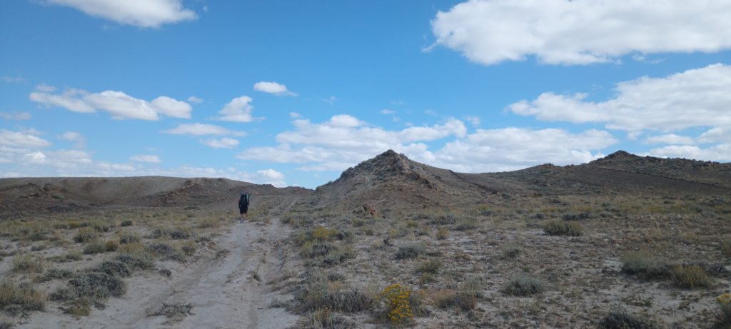
The clouds broke at dawn and we casually broke camp to start hiking at 9:00.  Around midday, we realized we could reach the highway before dark.  After a single break for lunch, we pushed hard to finish the 27 miles before sunset.  Rattle was feeling quite a bit better and was up for the challenge.

By 6:00 pm we were standing by the highway with our thumbs out.  By 7:00pm, a hunter with a camper in tow dropped us off at the Rawlins Walmart and waved goodbye.  We were relieved. A cheap motel waited around ¼ mile away and we were in need of a zero or three. 

The Winds pt 6 – Down into Desert

We got everything we wanted–two high routes through the Wind River Range with no thunderstorms and some of the most epic scenery we’ve ever seen!  Now we had a slow descent into the desert below and time to process the events of the last week.  When you’re in the middle of intense work for extreme reward, you don’t always have time to really absorb it all.  These are sometimes my favorite points on a hike.  The real work is done and my head is free to wander through the memories of what I just experienced.

For the first time since New Mexico the trees are finally disappearing and giving way to sagebrush and sand.  Yet another completely new environment awaits us with its new challenges, and we’ll be ready for it.  But first is Landers, WY and a fresh pack full of food.  Then it’s time for big-mile days and a race across the rolling desert  hills to Rawlins and a long break from the trail.  It is the last town with cheap lodging before Colorado, and we intend to make the most of it.

The Winds pt 5 – The Cirque of the Towers

We wound our way down to the mouth of the canyon where Washakie Creek empties into East Fork River and began hiking up the creek toward Texas Pass.  The Cirque of the Towers was on the other side of this 11,400 ft pass and completely blocked from view.


The entire high route was somewhere around 20 miles long and we knew we would have to camp above 10k ft.  If we made it over all 3 passes we could find camp in a canyon stretching to the south and shelter ourselves from the fast west winds roaring through the mountains.  This seemed very plausible as none of the passes were nearly as technical or as tall as Knapsack.  Blueberry was still with us and we were all feeling very good.

We surveyed the pass from below and began to climb from the shore of Texas Lake.  Much to our surprise, an established trail led us all the way to the top with relatively little scrambling. We paused only a few times, looking back over the lakes behind in the early morning sun.  The wind was getting stronger near the top but no clouds were in sight. 

As we topped the pass, the entire valley came into view.  It looked like something straight out of Middle Earth!  Numerous peaks towered thousands of feet over Lonesome Lake below, fiercely rugged and barren against the hazy blue sky.  This was one of the most beautiful valleys I had ever seen!  We descended to find a place for lunch along the lake shore.

We ascended Jackass Pass next. The mountains caught and funneled the wind directly at us, blowing sand and gravel into our faces tearing at our clothes.  The relatively short pass was more gradual than the last, but keeping our footing against the strong gusts was far more exhausting.  After a few quick summit photos we hurried down the other side into the next valley and the protection of the canyon walls.  The breathtaking peaks and ridges stretched out ahead leading to Temple peak and our final pass of the day.

Miles and miles later, as the sun sank toward the horizon, we began to see Temple Pass clearly as we passed Miller and Temple lakes.  At just over 800 ft tall, this would be a relatively easy final climb for our now tired legs.  We were completely taken by surprise.

The actual trail over the pass was often faint and difficult to follow.  We chose instead to climb the talus, scrambling our way over the terrain as the sun fell below the ridge to our right.  The frigid air was still blowing hard and several times I hunkered against the rocks, waiting for gusts to subside.  We picked up the trail after some searching at the summit and began a slow descent on a slippery, pea-gravel trail down the mountain toward Frozen Lakes and the canyon below. 

Finally over the last and hardest pass of the day, our bodies protested all the way down the canyon to camp.  We ate and crawled into bed, exhausted but thankful for the shelter of the trees and  canyon as the wind howled through the night.

The Winds pt 4 – Approaching The Cirque of the Towers

The foothills of the winds on the west side are seemingly endless rises separated by countless lakes.  There were so many that I forgot to even take photos of any.  But the landscape between each one became more and more arid as we traveled further south, foreshadowing the desert to come.  As we reached the end of the second day out of Pinedale, the peaks of the Cirque finally appeared on the horizon as we marched to meet them.  Again, we had a perfect upcoming window of weather and intended to complete the 18 mile, difficult high route in a single day.  Here we come!

The Winds pt 3 – Titcomb Basin

After a further descent from the foot of Knapsack Col to Titcomb Basin, the hiking became easy and beautiful!  Perfect days like this one are rare.  All of the hard work was finished by 2:00pm and the last half of the day was the reward for all of the effort. 

We turned the corner from the steep alpine valley into a broad, gentle alpine basin filled with enormous lakes lined with bits of forest.  Feeling accomplished and elated, we exchanged greetings with other weekend hikers as we made our way out of the highlands down toward Seneca lake and Elkhart trailhead, stopping for a rest and swim at a sandy beach along one of the lakes.

By sunset we were safely among the trees and at camp.  Thunder echoed from the storms boiling over Knapsack and the high peaks, but we were tucked into a patch of forest thousands of feet below and miles away.  The next morning would be a gentle hike downhill to Elkhart and an early hitch into Pinedale for a short break before the next high route.

The Winds pt 2 – Cube Rock Pass to Knapsack Col


At first light we were packed and prepared.  A little apprehensive but incredibly excited, we ate breakfast by the pond and went over the days plan again.  We needed to get over one pass before Knapsack Col and wanted to be completely off of the pass by 12:00-1:00pm and hopefully below treeline by mid afternoon.  As we were putting on our packs, Blueberry strolled up the trail toward us!  We all talked about our plan, excited that we could do this together rather than alone.  Climbing Knapsack was an off-trail route and there was safety in numbers.

Honestly, at this point pictures express the hike better than words can describe.  The hiking to the Knapsack was hard but straightforward as we left the treeline and crossed Cube Rock Pass.  The alpine landscape was unbelievable!  Lakes dotted the talus-strewn valleys as we made our way toward Knapsack through the rocky landscape.

We reached the base of Knapsack and looked up at this huge saddle between Twin Peaks and Winfred Peak.  After surveying a possible route and making a rough plan we started up the talus.  

The climbing was deliberate and careful.  Around halfway up we all needed a break and a snack.  When we resumed, I led us up to a hidden snowfield and we had to backtrack to cross it.  Fortunately, Blueberry is a ski instructor and she cut steps through the snow as we followed.

We reached the summit and the next valley unfolded before us.  We still had a long way to go before we were safely back on level ground.  We followed to our left along the side of a snow field down some easy talus before another long, steep snow field came into view.  I chose to travel to my right toward the tip of the snow, but the footing gradually became slippery scree and fine gravel.  Rocks and sand tumbled from my footsteps and down the steep wall into the snow and valley below.  Blueberry and Rattle both started to descend on their butts as the descent became increasingly difficult.  Committed to the route, I had to press forward, traversing the slope.

Rattle was starting to feel stuck as Blueberry finally reached this second snow field and tested the snow to see how well it could be walked.  It was soft and grippy so she cut steps again through the steepest part.  I stayed behind to help Rattle make it safely down the gravel and sand.  

Almost halfway through the snow, Blueberry said it was safe to glissade and proceeded to slide down the snow on her butt.  Still a bit stuck, Rattle carefully made her way further down and we reached the snow tracks together.  As the steep field became more gradual, we both glissaded down to the valley below.  I stood and left a butt-shaped snow cone behind as I hiked over the talus.  A little further and we all finally stopped for lunch.  It was a little after 1:00 and the clouds were building slightly.  We took lunch, dried our gear, and breathed a sigh of excited relief.  We made it.

Looking back at Knapsack Col after the descent. Pictures barely give a sense of scale. People look like tiny ants up there!

TheWinds pt1 – Headwaters of the Green River

After a much needed break in Dubois we finally hit the trail after an early morning hitch with a local dude and his basset hound named Stella. We were waiting in town for a break in the poor weather but it didn’t appear we would get it. Knapsack Col was our next target–a 12,000 ft pass on an alternate high route through the Wind River Range–and we chose not to carry enough food to climb it. It seemed our best bet was to make forward progress to Pinedale and briefly wait there in hopes of better weather. If the weather didn’t improve we would have to skip the high route. Thunderstorms at that elevation with a technical climb could be very dangerous and might force us to take the main CDT around the high peaks instead.

As we traveled across the broad, desert-like foothills toward the heart of the mountain range we turned onto a detour over a broad plateau to get better views of the mountains around us in the morning. We found an established camp along the dirt road and decided to stop. Someone went through the effort of clearing the standing dead trees, building a table and stools, and digging a pit toilet! This was incredibly welcomed since burn scars and beetle kills left widowmakers everywhere in these hills and a safe, sheltered camp was very hard to find.

In the morning, Switchbacks came hiking by our camp as we ate breakfast and packed. With company in tow, we climbed the plateau and hiked into the sunny morning. The Tetons were visible far into the west and the weather was beautiful. We met a local ATVer who advised us of a missing hiker somewhere in the mountains and gave us a brief description in case we came across any clues to his whereabouts.

That afternoon we began to outpace Switchbacks and hiked ahead to finish the day and find camp. We found a pond nestled against Gunsight Pass, pitched, and settled in to eat dinner. Just after Sunset, Switchbacks came along with another hiker named Blueberry and they both joined us for dinner and camp. Over dinner they both informed us of the improvement in the weather and told us they planned to climb Knapsack in two days. This meant we would probably part ways at Green River Lakes where we planned to hitch into Pinedale. The weather window was opened and we didn’t have the provisions to make it. Rattle and I were both pretty disappointed as we went to sleep.

The next morning we broke camp and left early. As Rattle and I hiked along, I mentioned that if we were lucky we might Yogi some food from other campers at the lakes and get enough food to complete the high route. It was a long shot, but it could work. The only drawback was that it was Friday and the weekend hikers hadn’t even arrived yet, and we’re probably unwilling to part with their food. The Sunday hike-out was always the best chance to get any leftovers from weekend trips. Just as we thought, the campground was fairly empty when we arrived and we resigned to hitch into town and hope for the best. We made a bad bet on the weather.

We stood by the road for a while, thumbs out and a bit resigned. After a short while, a van stopped and Dave, the driver, told us he was going to Pinedale. As we started positioning to load our packs into the van, Rattle asked Dave if he had any food he wanted to sell. He poured a pile of freeze-dried meals from a sack onto the ground and told us to take what we needed at cost since he was going into town anyway and could resupply while there! After a little calorie math, I picked what I needed and loaded my pack. We were going to make it! We were going over Knapsack Col! He even turned back after leaving and offered us a fuel canister before driving away to Pinedale! We politely declined since we had stopped cooking meals in grizzly country and started back toward the trail.

Dave, you’re a hero, man!

We sat on the trail overlooking Green River Lakes and I gratefully ate dry, crunchy, freeze-dried beef stew from the pouch, reaching a new level of thru-hiker feral.

As we climbed higher into the mountains above the lakes, the Green River snaked through the canyon, turquoise and milky from the glacial silt it carried. The rain fell lightly for hours, cold and misty. Our goal today was Vista Pass and finding a flat, sheltered camp near the first climb of the high route.

Thunderstorms could roll through the mountains tonight and we needed cover, but also needed to be as close as possible to the treeline to complete the tallest climb before afternoon storms had the chance to form. The sky cleared just at sunset and mist rose from the high peaks around us as we approached the crest of the pass.

We hoped to find Switchbacks and Blueberry camped at the pass but arrived to find nobody at all. We pitched in the grass and slept beneath the rugged peaks, excited for tomorrow.

My Kilt Shredded!

We were running back to the church through a heavy thinderstorm. We got inside, I sat down, crossed my legs and **rriiiipppp**. It split all the way up the side. It tore at the back snap sometime ago, but I thought itust have been my fault somehow. Nope. Just now Ipulled the fabric apart gently with my fingers and *rriiippp* again.

I contacted Purple Rain and told them what happened. Rattle’s kilt and the previous one I own are all just fine. They said that they made a limited run of kilts out of a fabric leftover at the workshop just to make space. Sadly, this fabric isn’t holding up at all. They are sending me another kilt, free of charge and made with their standard material, so all is well. Thanks for making it right! This company is awesome, and I was surprised to have this issue.

Meanwhile, with the help of thrift store pants and a headlamp band I found in a hiker box, I am once again clothed and ready to hike the Winds in hiker-trash style.