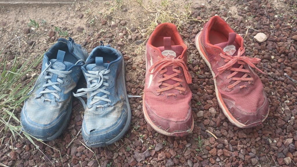
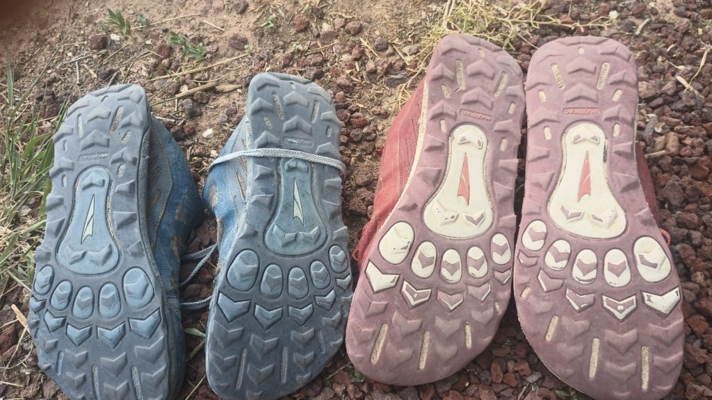
After around 500 miles and all of the lava fields, our soles are flat and our lugs are just nubs. Time for our first new set of tires.
Our Hike on the Continental Divide Trail from Mexico to Canada
After around 500 miles and all of the lava fields, our soles are flat and our lugs are just nubs. Time for our first new set of tires.
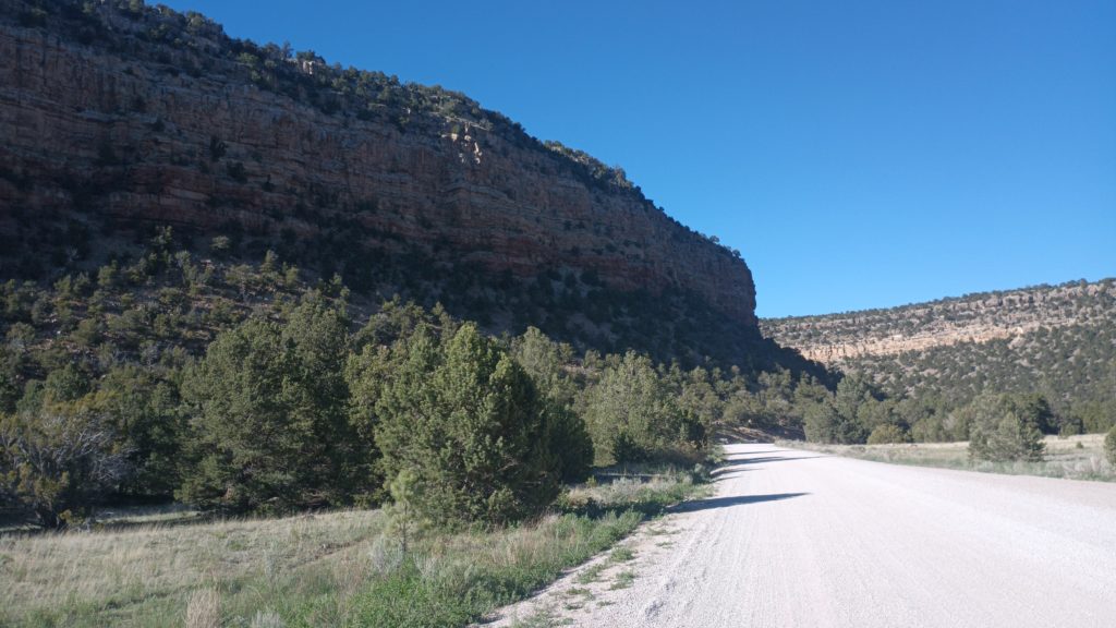
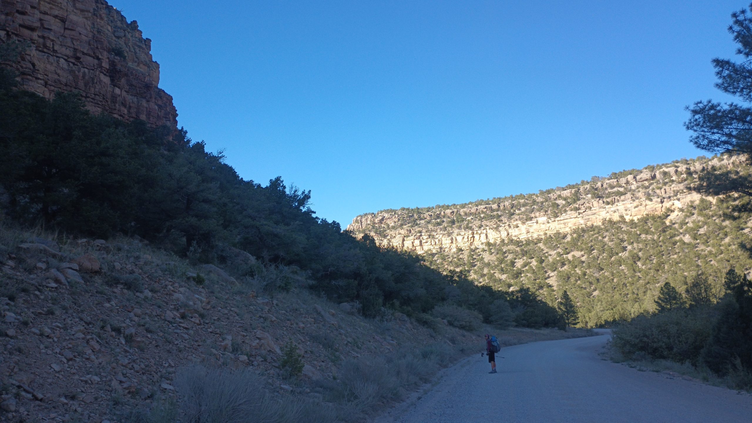
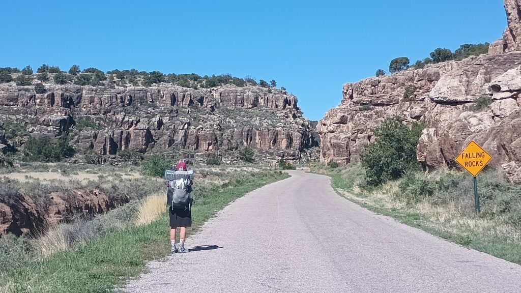
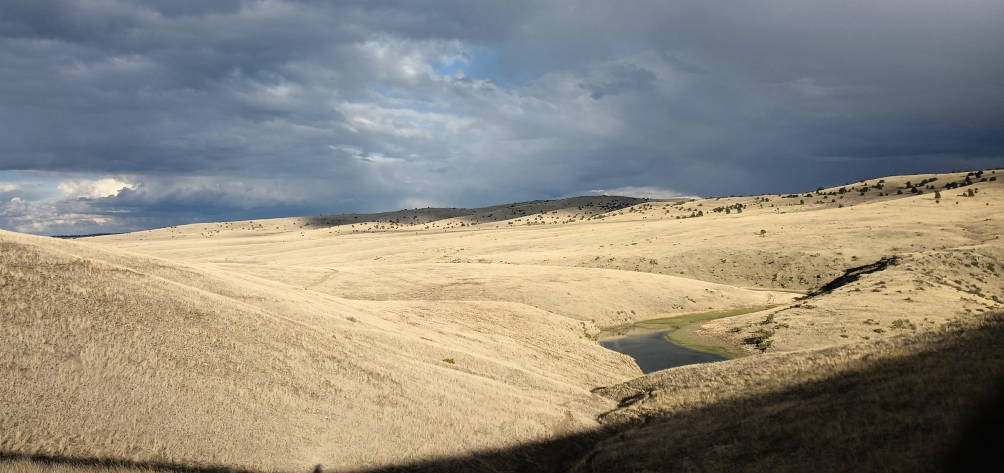
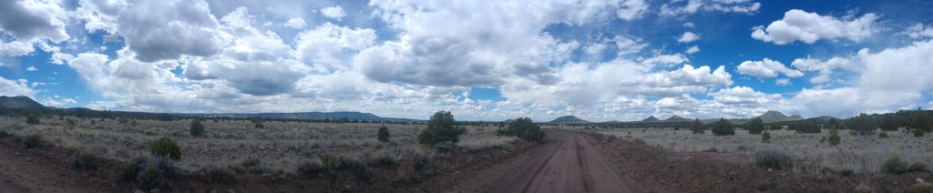
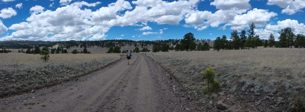
Despite being a road walk this was one of my favorite mellow parts of this trail.
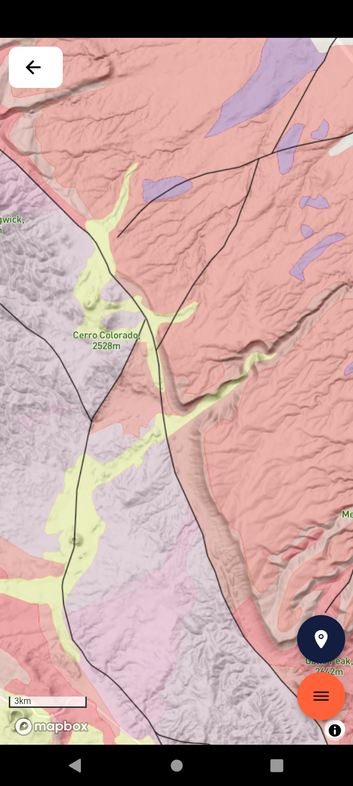
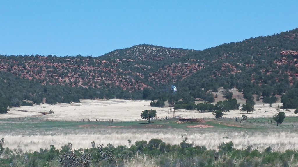
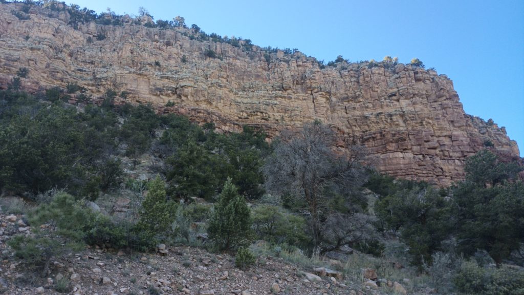
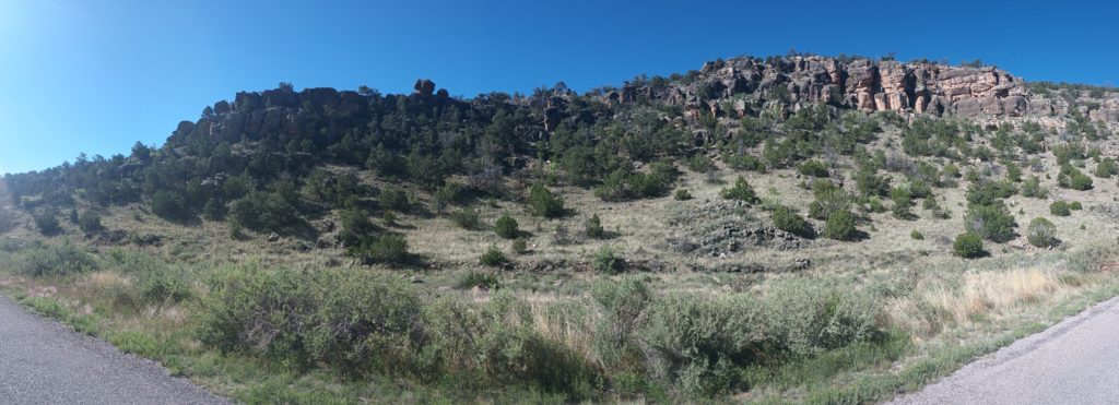
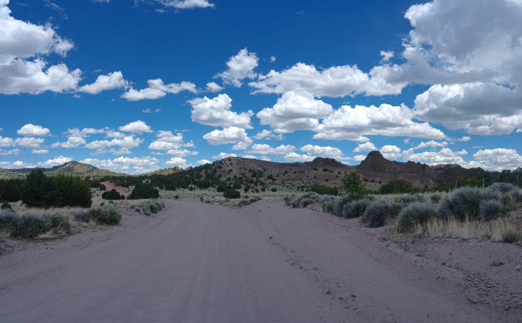
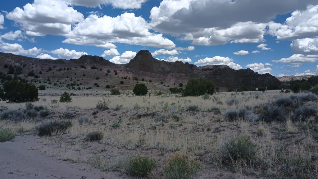
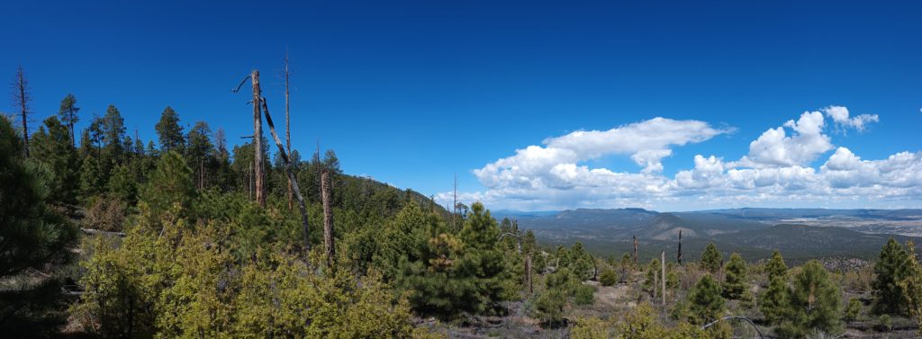
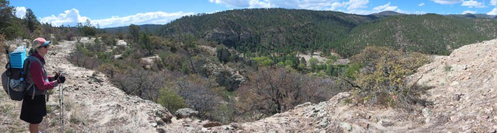
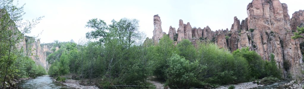
Zuni Canyon (across the middle-right of the image) cuts northeast through mesas south of Grants NM. The mesas around us were sea floor 259 – 290 Ma ago, (reddish-salmon colored) and as such are limestone and dolomite. These were such a contrast against all of the igneous rock we passed through in the last 2 weeks. And yet, a massive lava flow no older than 700 thousand years ago cuts through the floor of the canyon (yellow) and a few cinder cones are still in view.
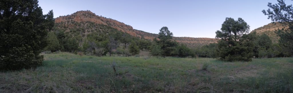
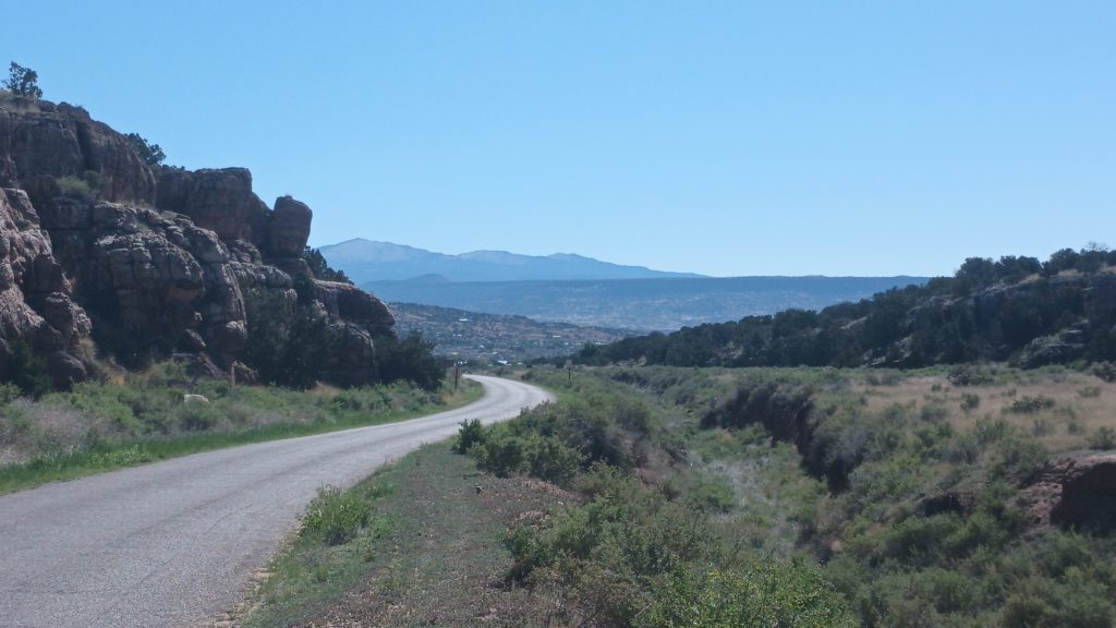
There were also two windmills along this route pumping perfectly clear water into a cow trough from above, allowing us to catch it before it fell into the green pool. When we reached Zuni Canyon Road, the hiking was pretty dusty when vehicles passed, but the drivers were usually courteous and some offered water if we needed it. We stealth camped in the mouth of a converging canyon by the roadside and woke to an easy road walk into Grants where town food and sodas were waiting!
You may not be familiar with the types of lava you could encounter on this trail. Please allow me to help you identify and date some of these fun formations in your environment.
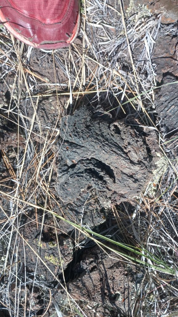
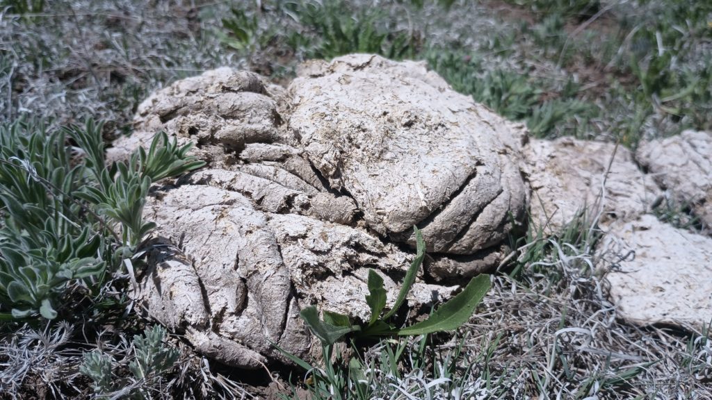
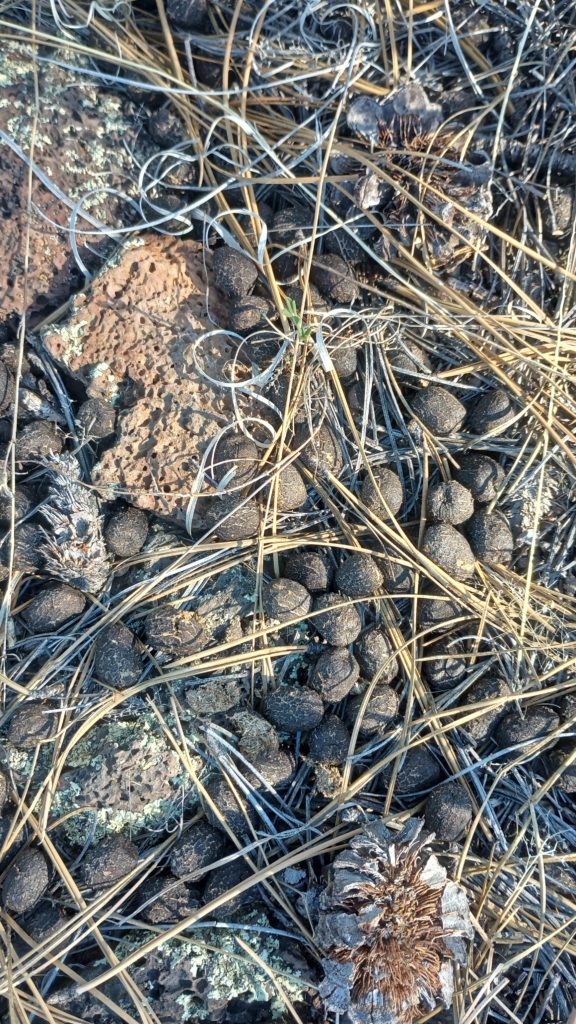
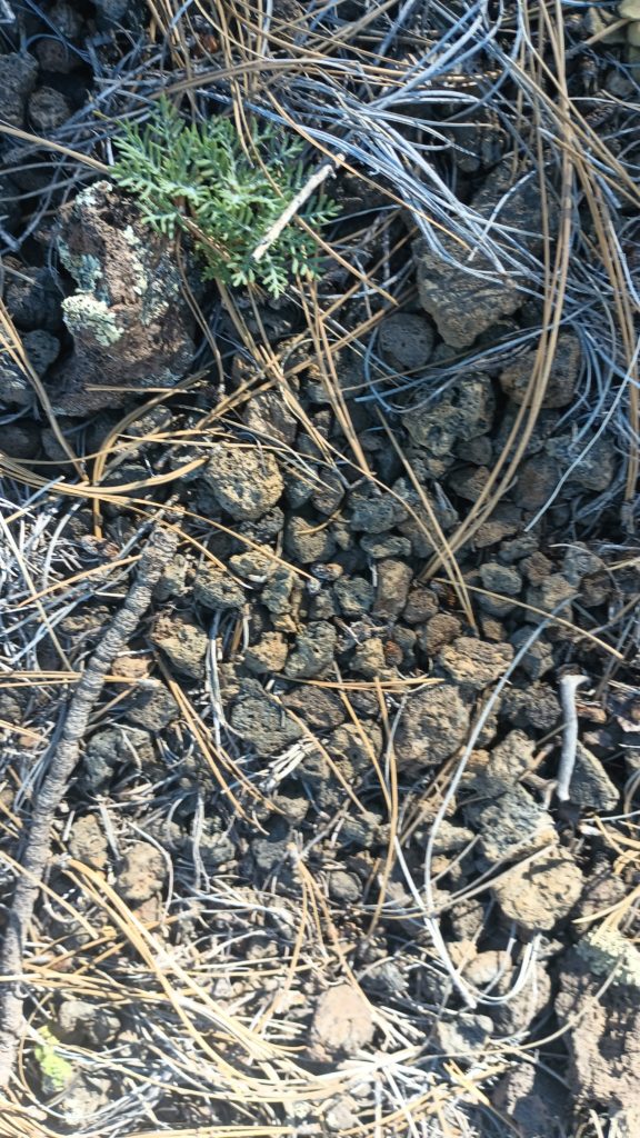
None of these are much fun to sleep on, but some are not fun to be near. We sometimes find it helpful to set up a kind-of fence with our trek poles to mark the lava so we don’t accidentally get too close when taking naps or breaks.
So I did it. I finally pooped in a plastic bag. This is officially a thru hike. I was in the middle of a lava flow with no dirt for digging. This probably won’t be the last time on this trail.
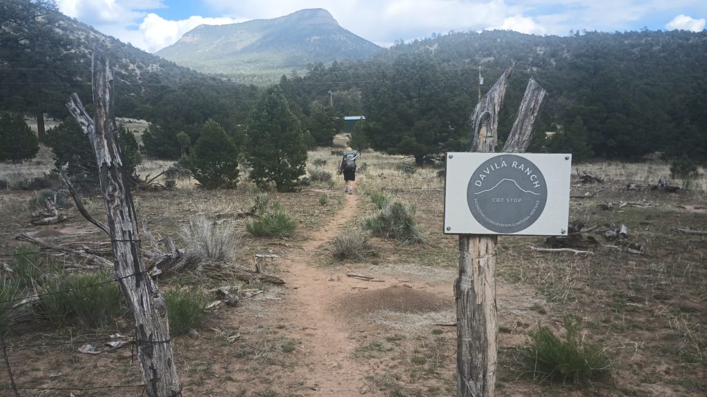
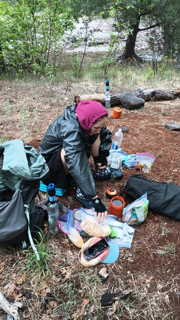
We had enough food to make it to Pie Town, but we heard about a place along the alternate that let hikers stay for a donation and was stocked with eggs and potatoes. We were sold! We grabbed some water from a cache maintained by Jetta and set out for Davila ranch.
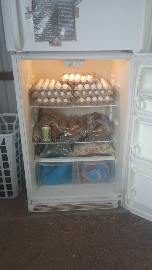
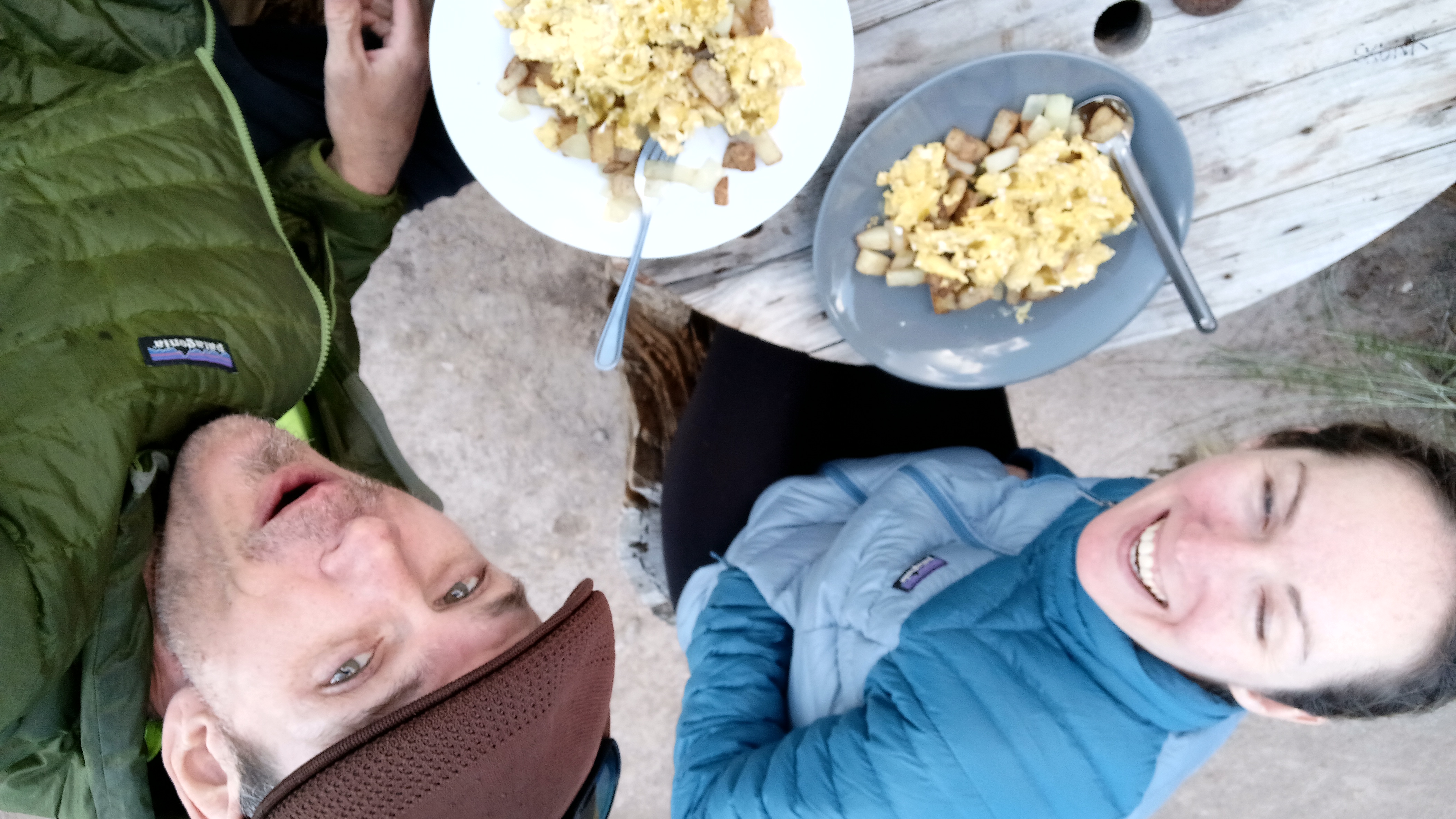
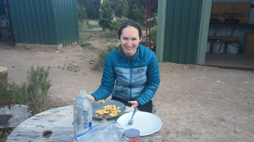
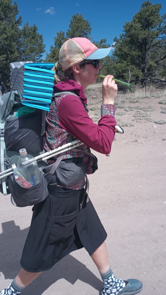
A ranching family built a structure on some land and supplied it with water, septic, a refrigerator, two washers and dryers, a shower, and a small ranch kitchen! There was so much food!! OMG!! We even left with some green onions for snacks on the way into town. God how I miss vegetables when I’m out there. John, the rancher, passed us on the way to pie town and tossed us a couple of bananas too. Super nice guy!
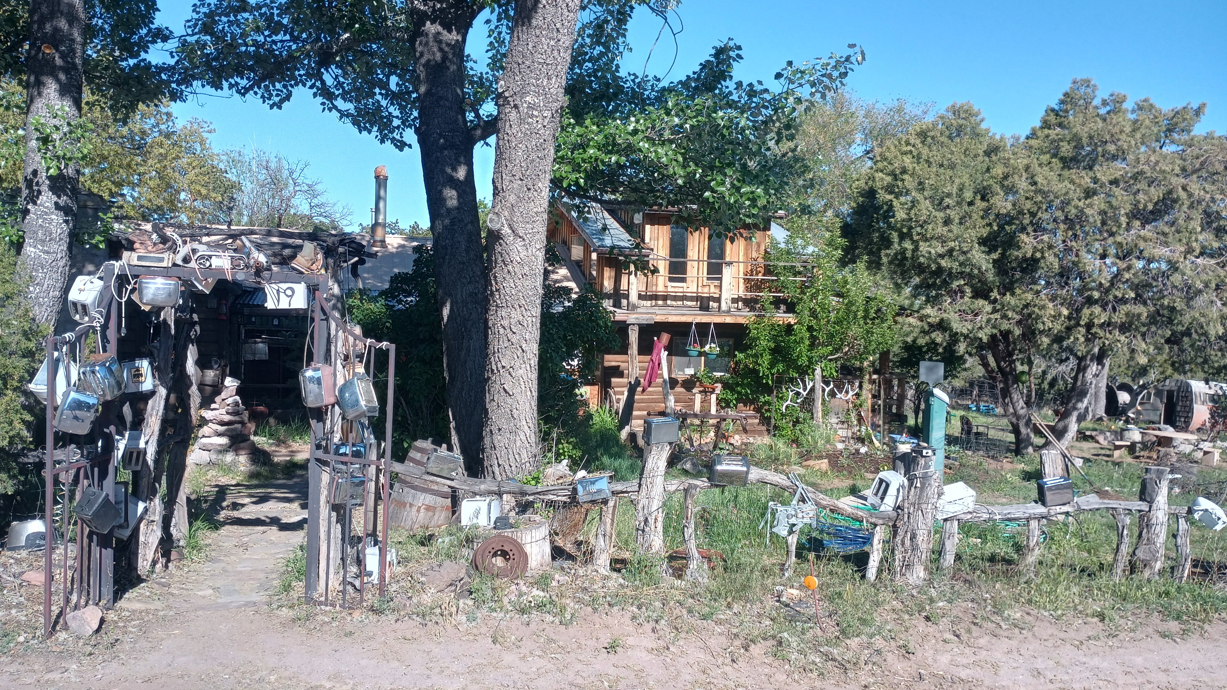
Full and clean, we headed toward Pie Town and finally reached The Toaster House hostel.

I carried this thing for two days and kept it very deep in my pack after getting it cold last night. We just did an 1,800 foot climb, and this is the best shit I’ve tasted in a long long time. Thank you Wayne Wilkinson, you truly were at godsend!
We woke up to the wolves singing but this time for the dawn. As we packed up camp we took another inventory of our food rations and what we were allowed to eat today since the Gila River took a little longer than expected.
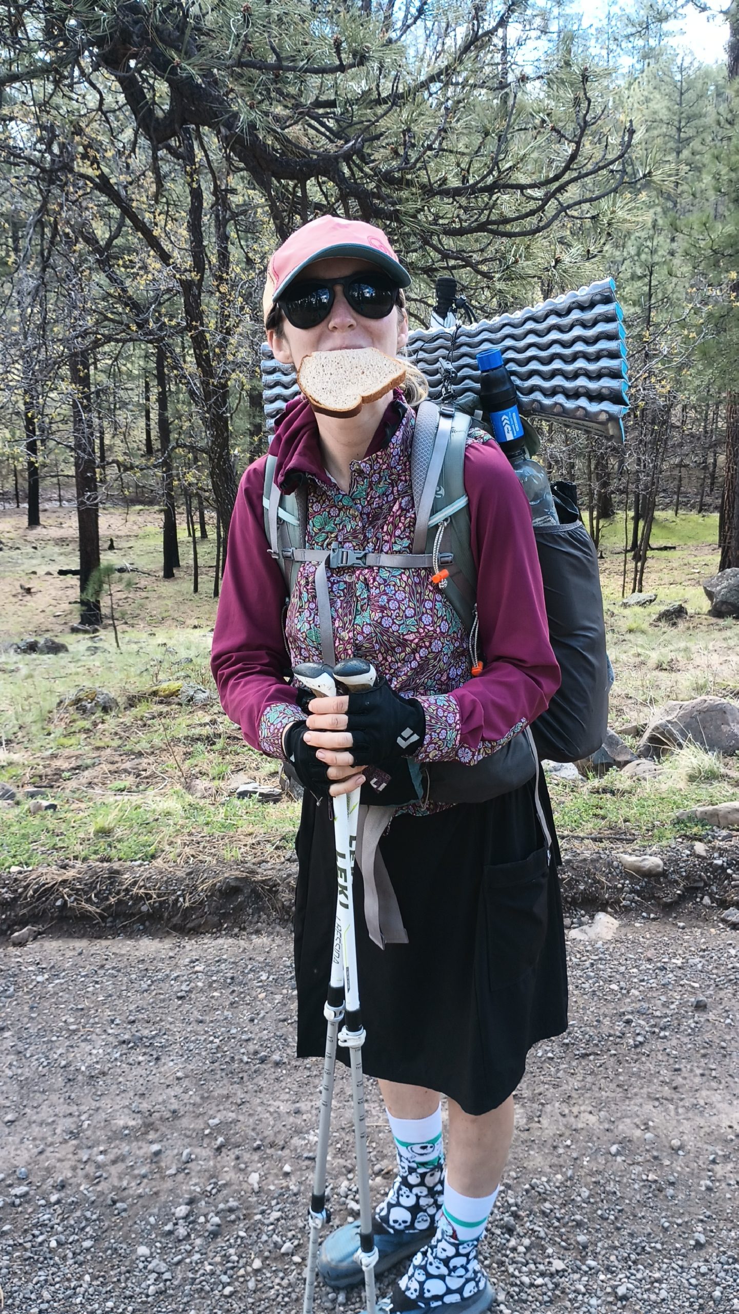
A few hours after breakfast, just when we started getting hungry, Wayne Wilkinson slowed down on the country road we were walking and asked us if we needed anything. We said we were doing pretty good until he started offering Coca-Cola, juice, and snacks (which we could really use). He also gave us most of a loaf of bread and we gave him directions as best we could to his destination.
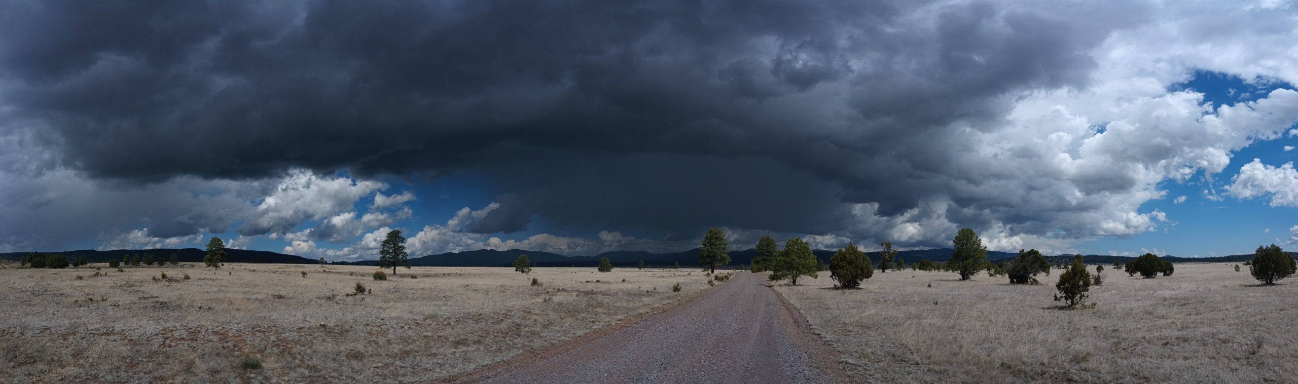
A few hours later down the same road we stopped to suit-up in rain gear as a big thunderstorm began to pass in front of us to the northeast. It moved quickly so we barely avoided it but another hailstorm came up from behind and started to unload on us. Shortly into this storm a white pickup truck pulled up and asked us if we needed a ride. Mark, Dan, and Chad cut a few hours of road walk and a couple of storms out of our hike just by moving us up the road a few miles.
I am incredibly happy we took this route!!
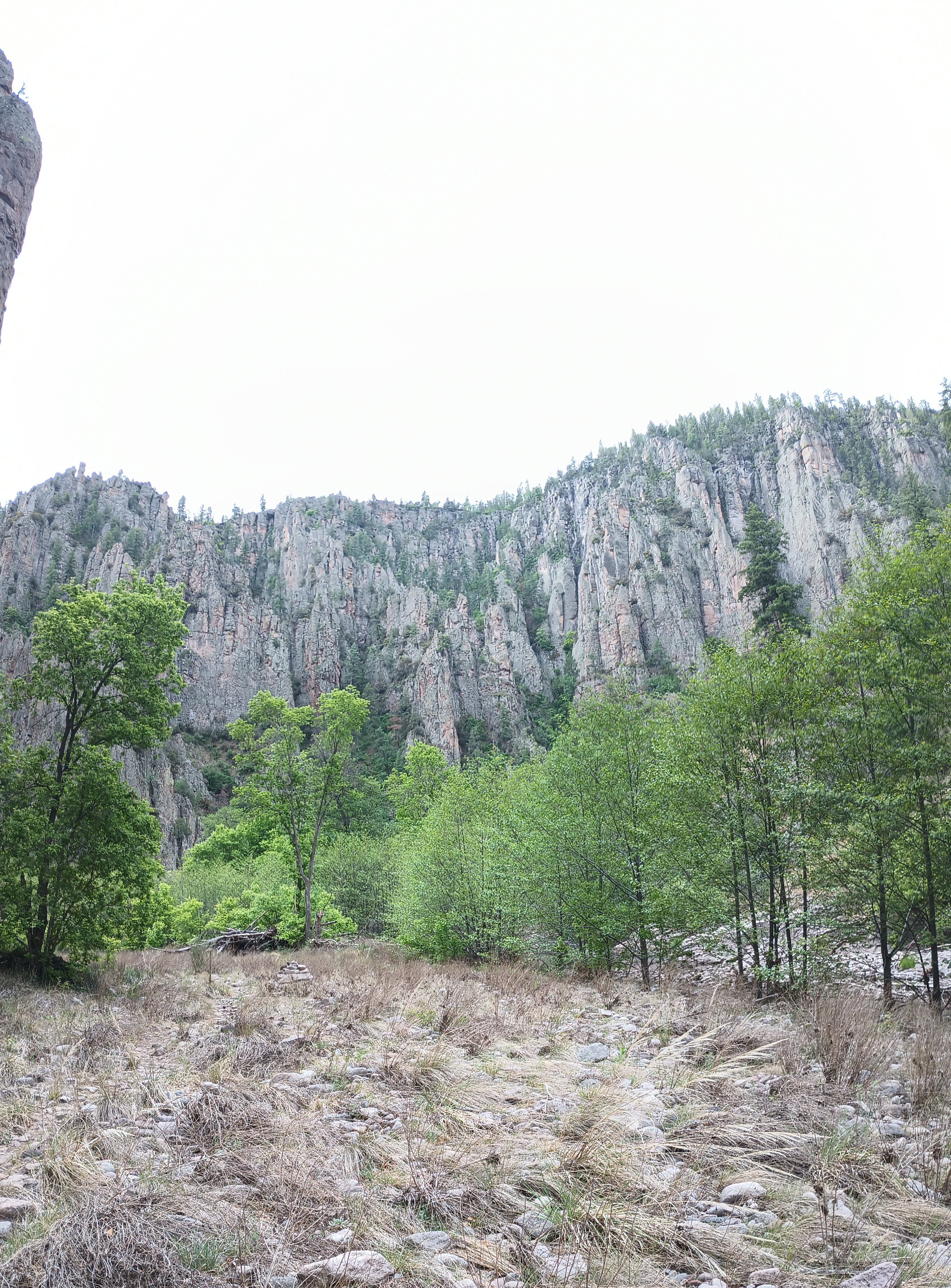
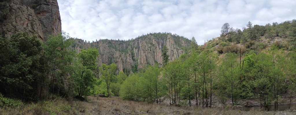
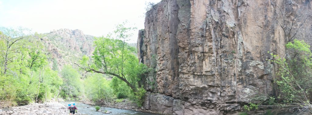
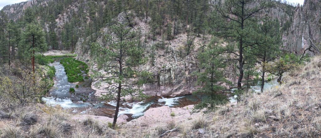
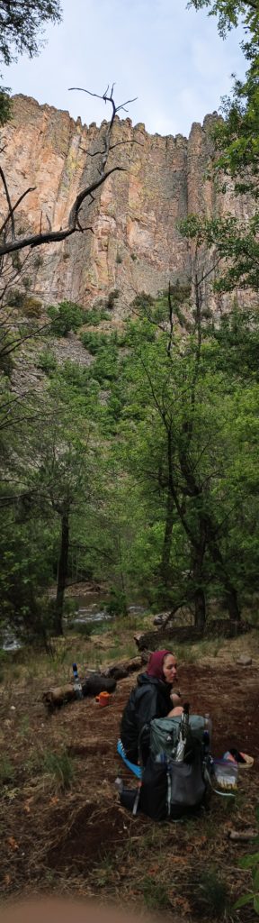
I didn’t know beforehand, but the Gila Cliff Dwellings caldera and the Bursum caldera are responsible for the basin of the upper Gila river. These two supervolcanoes erupted some 30 million years ago, and the evacuation of magma caused a massive void into which the overlying material collapsed and formed these two calderas. Due to this, the cliffs cut by the middle fork are not composed of the same rock I’m accustomed to seeing along rivers. It’s often very basaltic, sulfurous, and not at all sedimentary. The history explains the hot springs found along the river too. This place is beautiful!
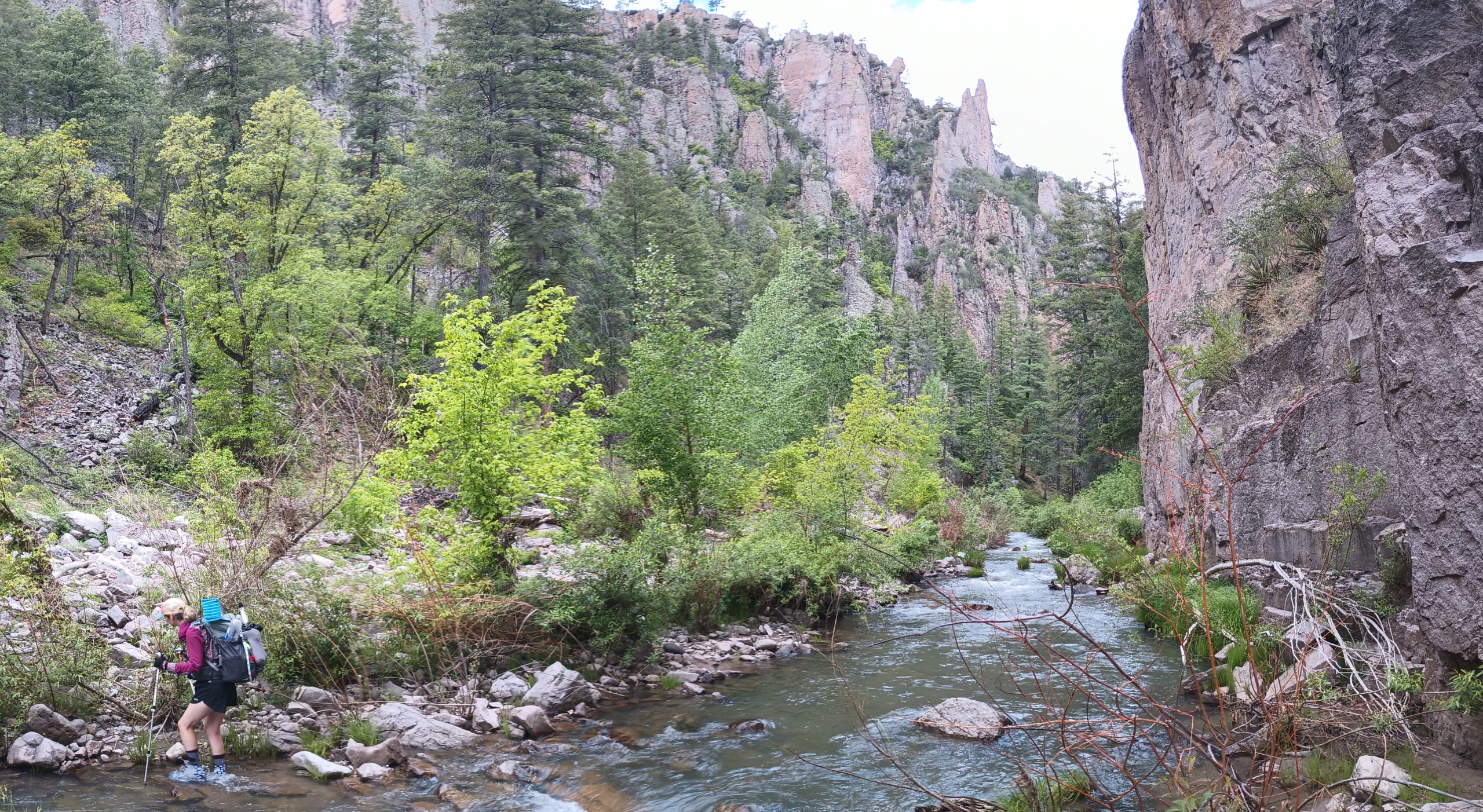
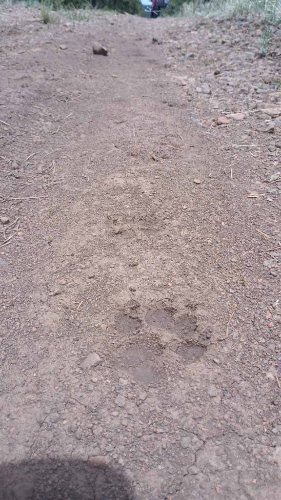
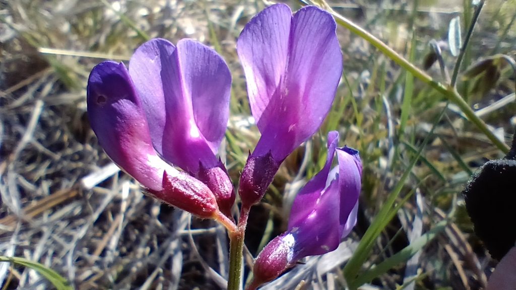
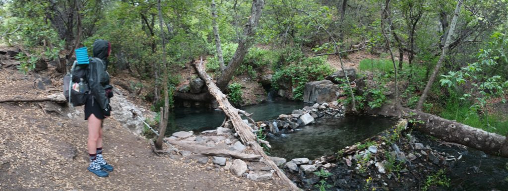
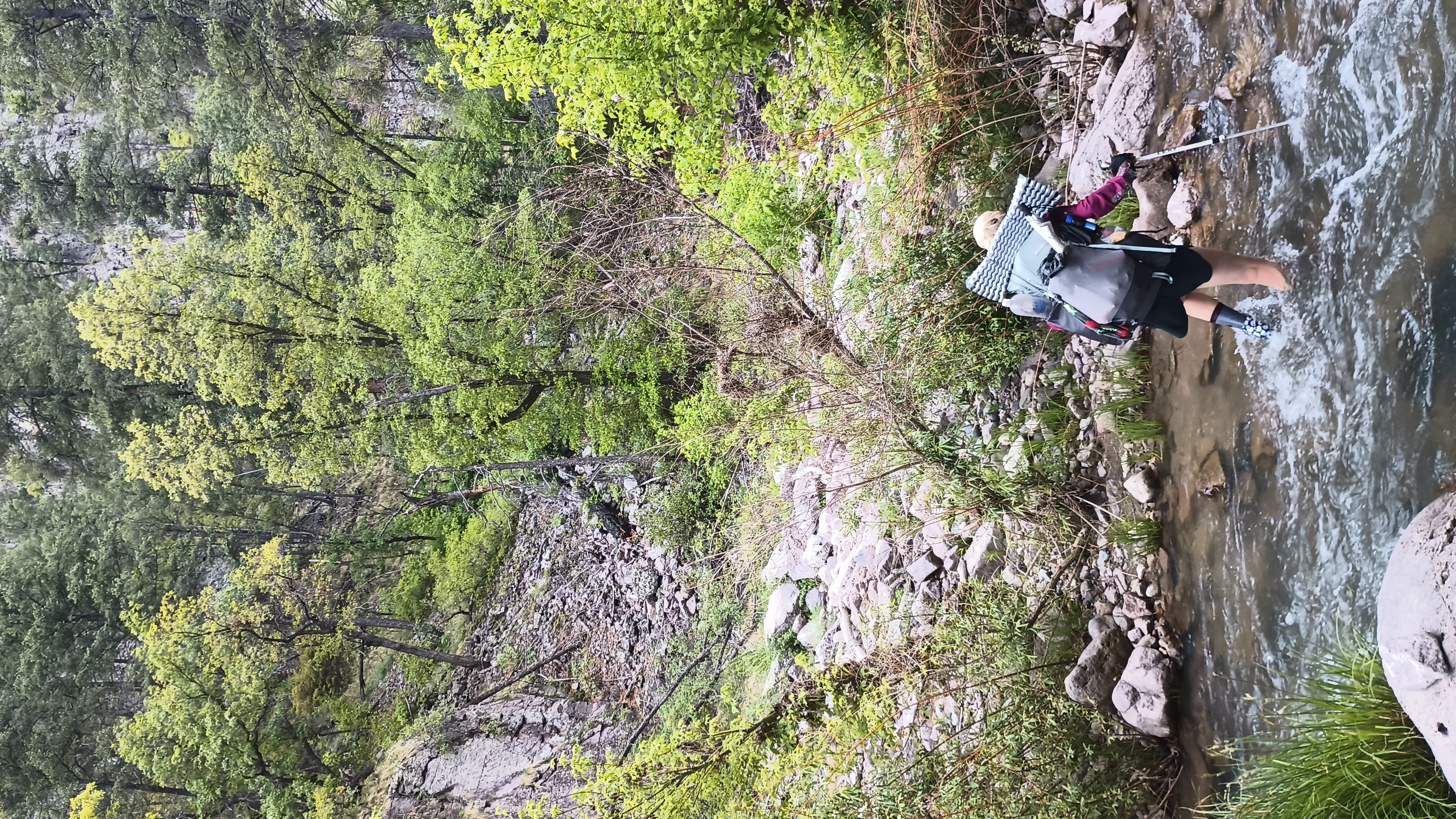
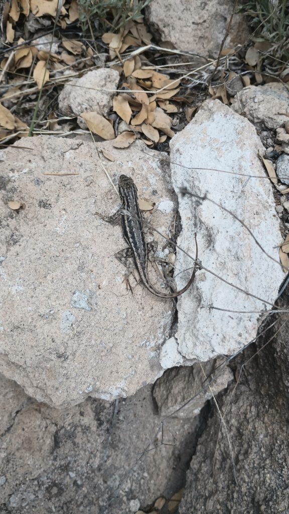
While hiking the Gila River and its middle fork upstream, we crossed the river a total of 187 times. Over one hundred river crossings were made in one day alone. And yes, rattlesnakes live here too as Kylie found out.
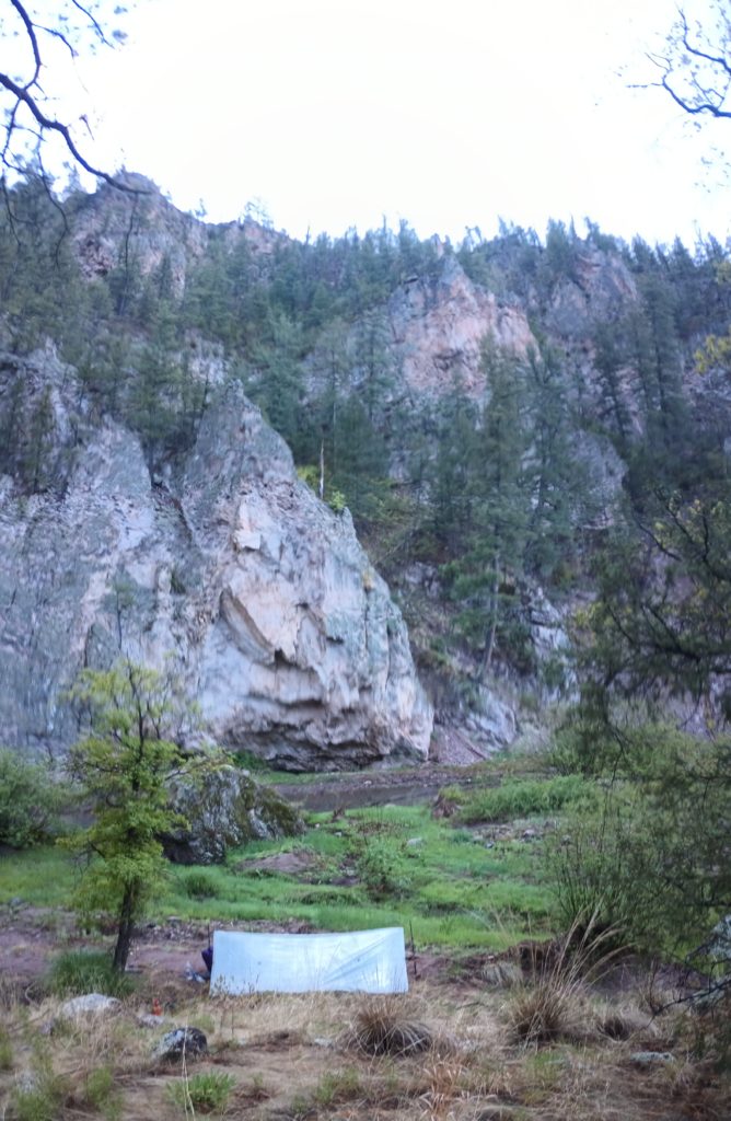
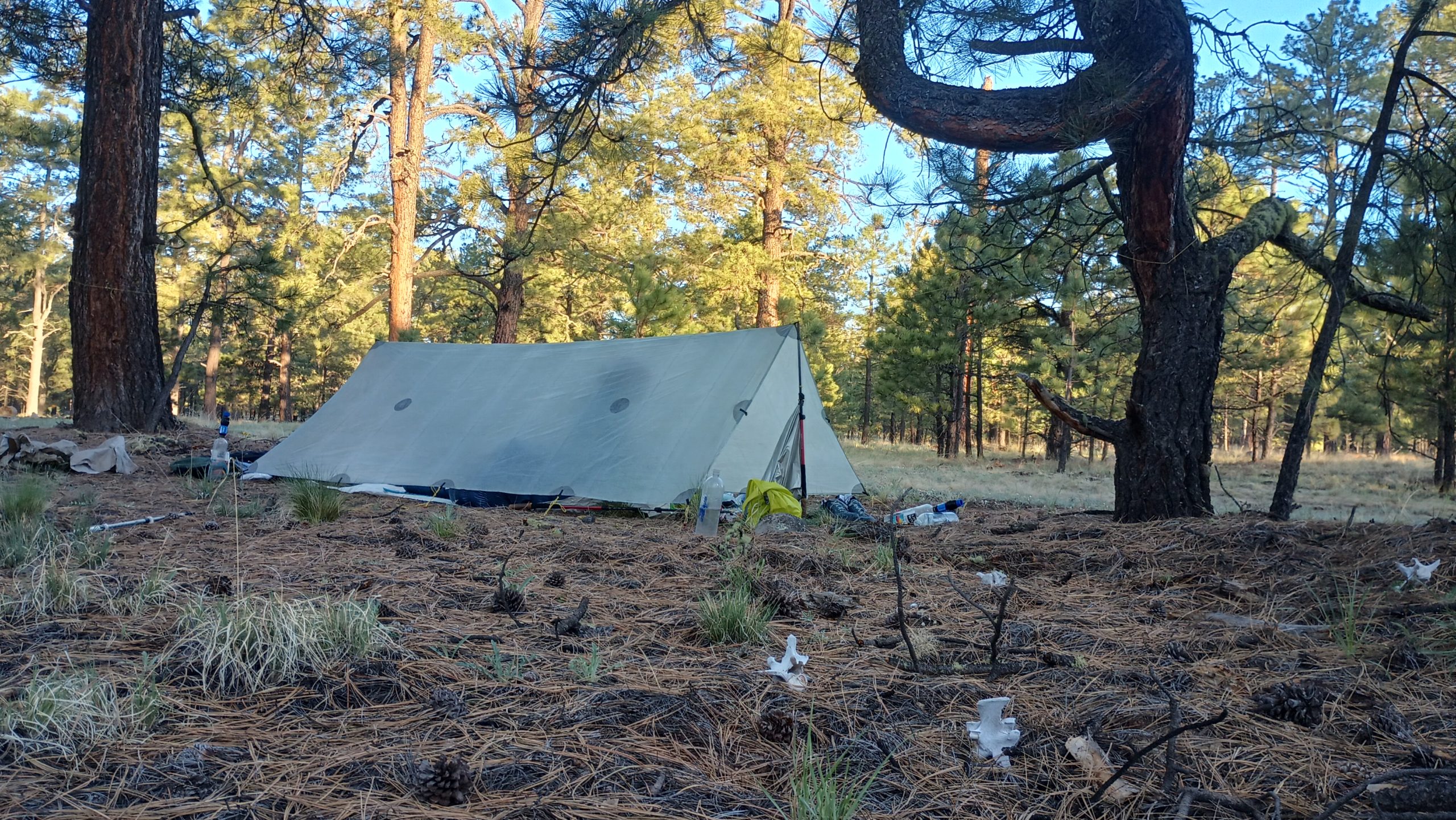
We camped across from cliffs actively crumbling into the river below, waking me once with a massive crash and plunk into the water. Tired of wet, sandy shoes and the constant trail finding, we headed up to the high route after several days in the canyon. As tough as the hiking was, it was nice to not carry water. In all we started this section with a slim 6 days of food.

By the time we reached Aeroplane Mesa, we had begun to ration our food bags a little bit. The river hiking was a slow 1.5 mph and we were running just a little low. Chased by storms we hurried across the grazing ranges in the highlands and into the national forest again for shelter from the weather. We crossed through a cattle gate and into the woods, passing the bleached bones of the cattle who wandered away and never made it back to the range. As we ate dinner and tucked into our beds, Mexican wolves sang out in the night.
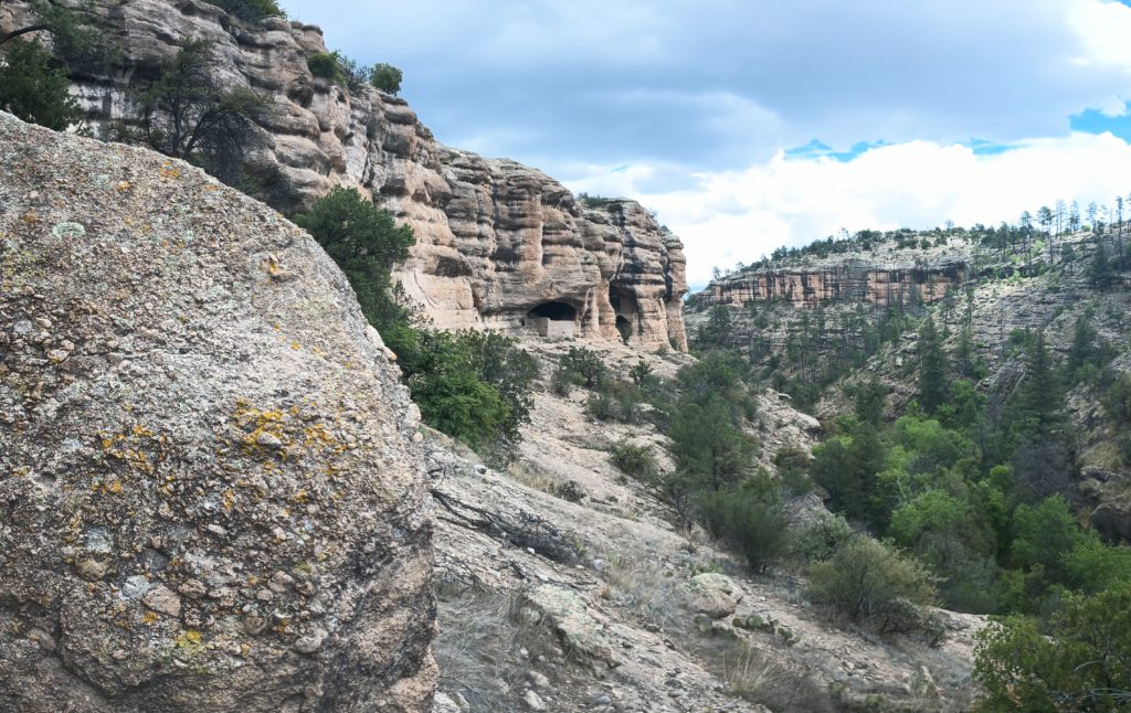
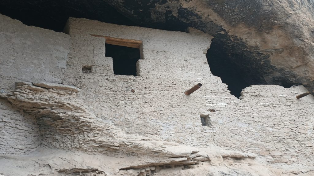
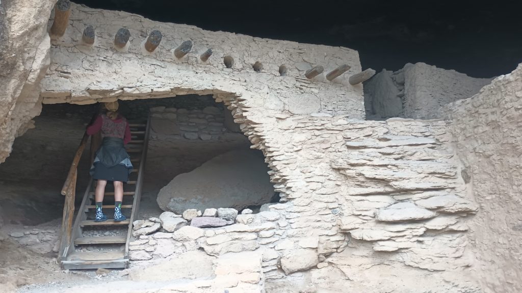
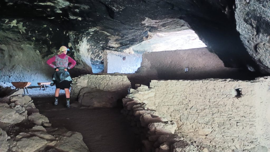
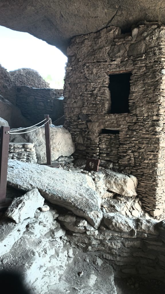
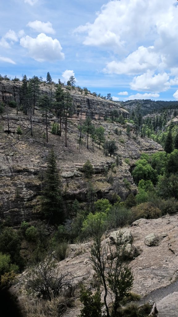
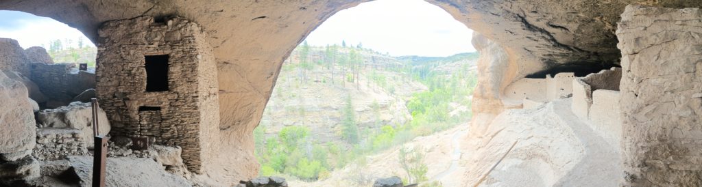
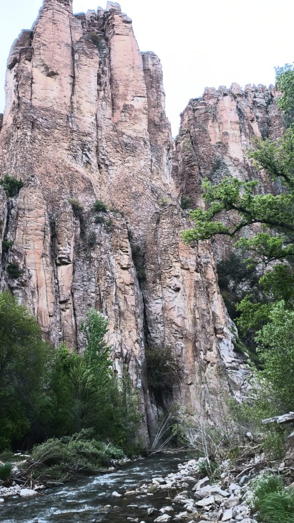
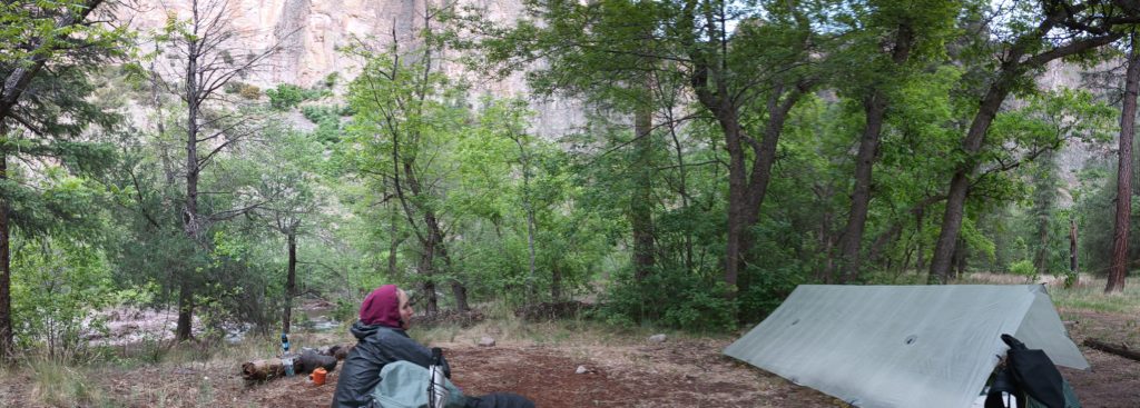
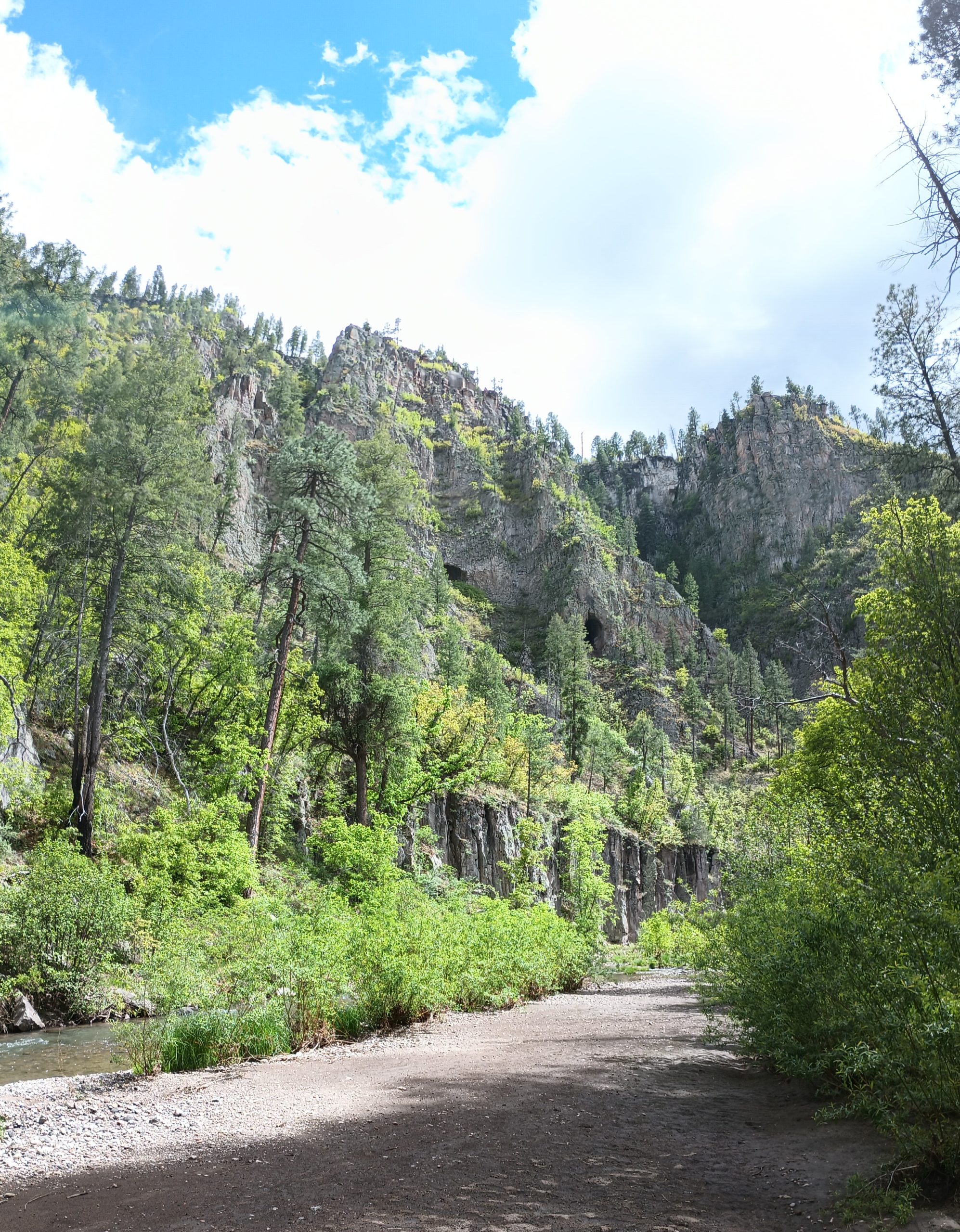
While we were in the area, we took a side trip to Cliff Dwellings National monument and we’re really glad we did. These were apparently abandoned 700 years ago, and there were still ancient corn cobs on the floor where they prepared food. After being tourists we headed back to the alternate route to go down Little Bear Canyon and eventually reach Gila Middle Fork. Little Bear Canyon gave us a preview of what was to come with steep walls & high cliff faces. It opened into the river canyon and we knew we made the right choice to come this way in spite of the weather. After a few chilly river crossings in the early evening we stopped for the day on a high bank and made camp well before sunset.