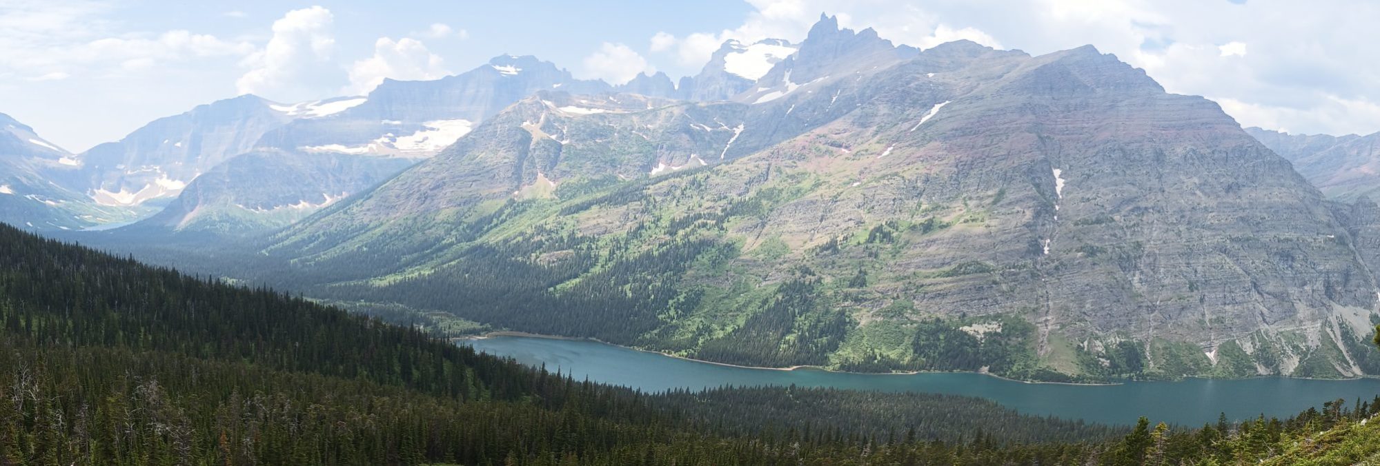
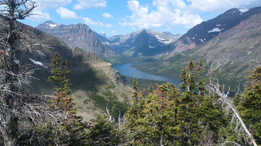
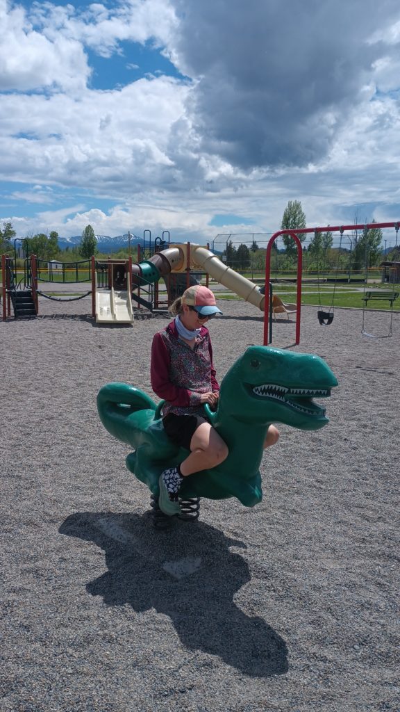
We arrived at the ranger station early, grabbed another hiker to group-up for permits, and still didn’t get a permit straight through Glacier NP. With the big group of hikers here clamoring for permits combined with the 4th of July vacationers, we only managed to get 2 campsites between Canada and St. Mary Lake. This left over 44 miles of park where we will be unable to camp legally. Hopefully we can obtain a second permit at the St. Mary ranger station to continue south. We’ll figure it out when we get there. Meanwhile, we decided to knock-out the 10 miles back to East Glacier to shorten what we’ll have left without having to camp.
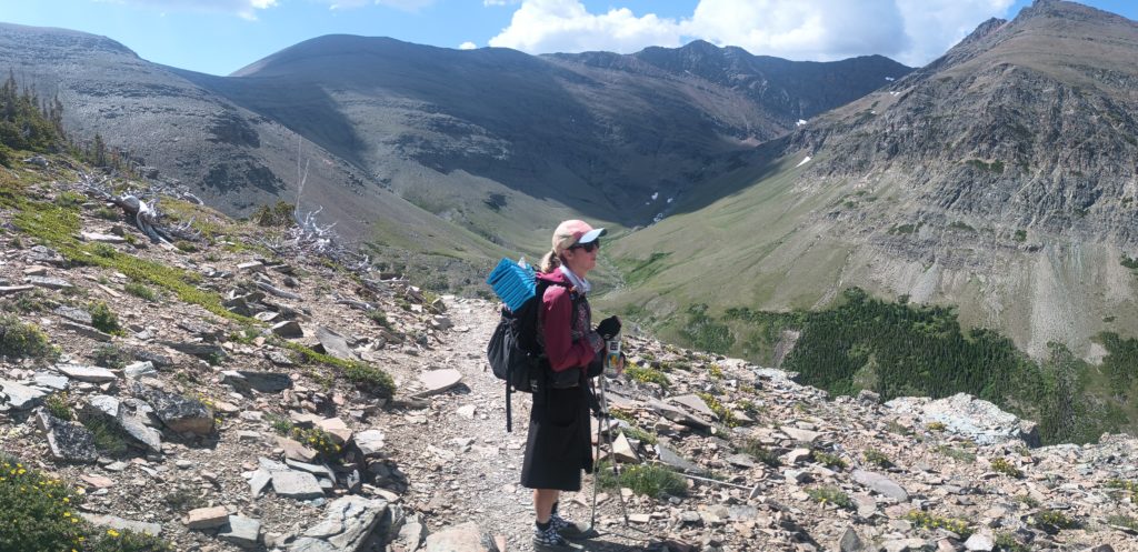
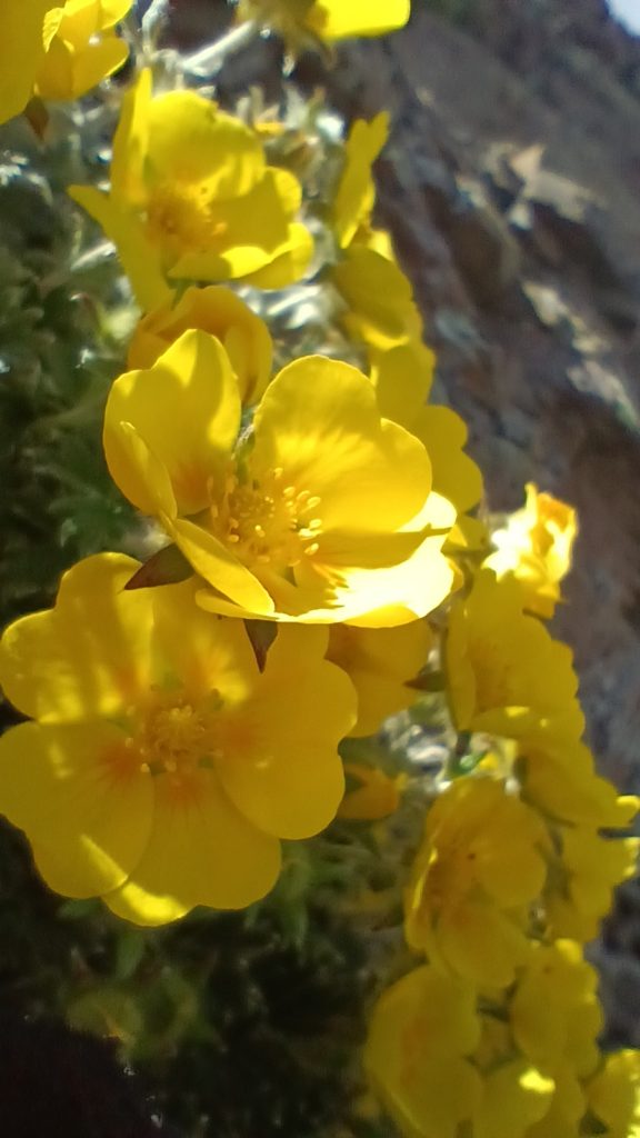
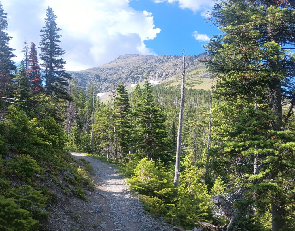
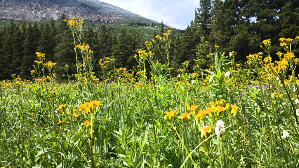
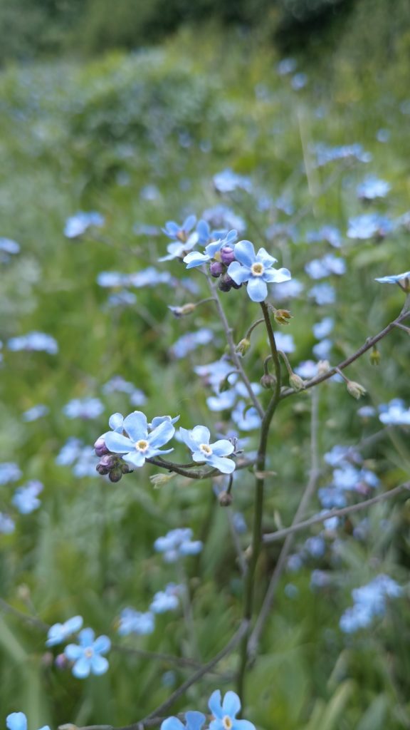
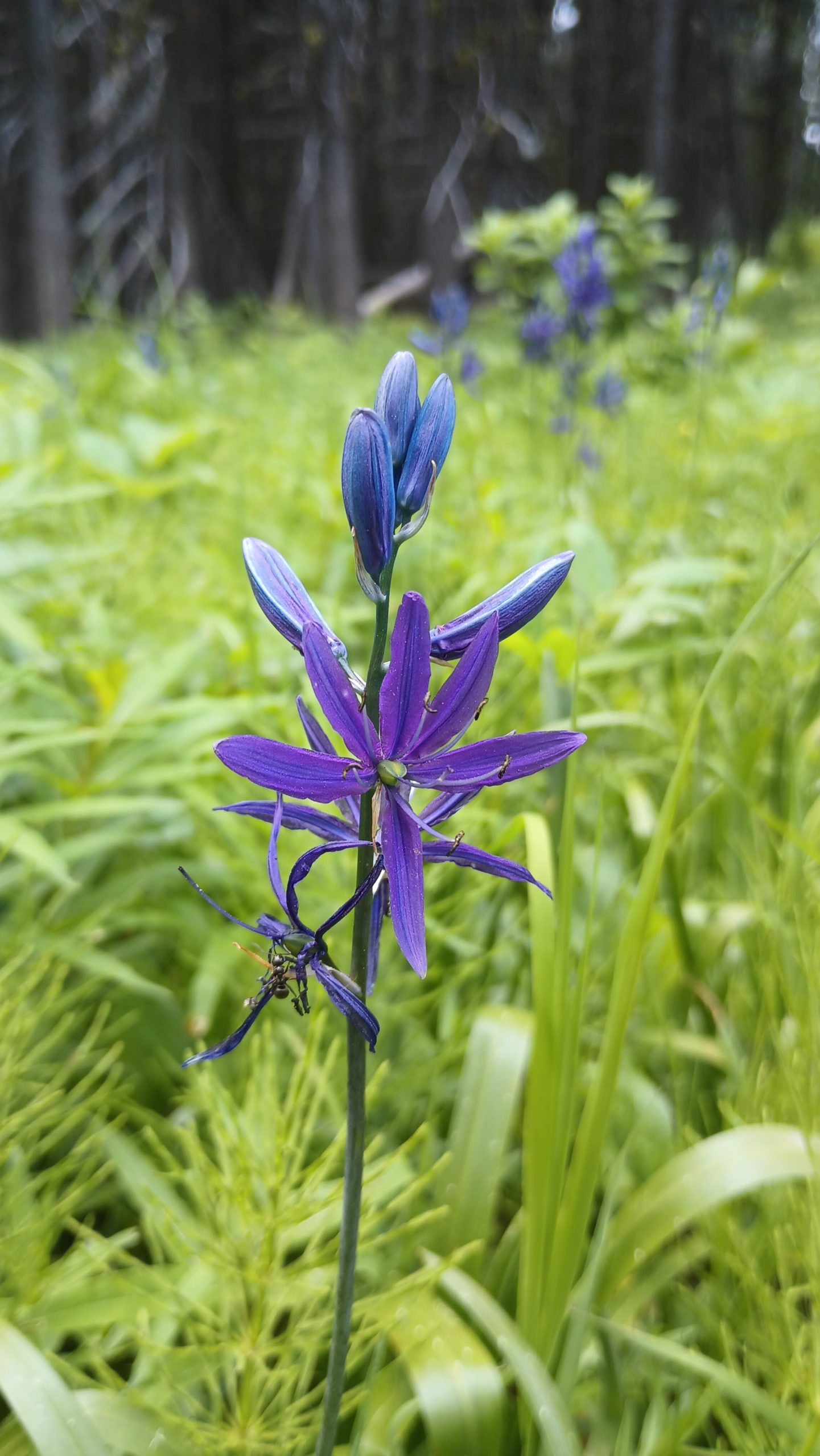
Since we didn’t yet have permits for our itenerary through glacier, we hitched a ride south to Marias Pass and slackpacked back to Looking Glass Hostel. This section is the trailing southern end of Glacier NP southbound and an easy day hike. It is a very flat 15 miles, but has tons of beautiful meadows.
Just like town food, I’m always surprised at just how happy I am to sleep in a bed in four walls, regardless of the quality of the bed or walls. One of the cheapest options for room which included breakfast was the super 8 which was also in close proximity to stores. We had a little while to wait before our tents reached Helena, so we were in town for a few days in a row. The room wasn’t bad and also had a fridge so we could do a little grocery shopping.
We discovered WinCo foods–a store with one of the biggest bulk food selections I’ve ever seem, and started drooling. We spent almost 2 hours in that store picking just the ride amounts of just what we wanted to send ahead to East Glacier and to carry with us for our stretch out of Helena. At the checkout and on the way out the door, Martha “Pretzel”noticed our packs (and overall appearance) and asked us if we were hiking the CDT. Being an AT hiker, she immediately offered us rides and invited us to her house for dinner the following night to meet Trevor “Snags”, her partner and also thru hiker. After eating grilled bratwurst and veggies at their beautiful home, we knew we had made a couple good friends. We accepted Trevor’s offer the next day to play a round of disc golf at his home course and we got to feel a little bit like locals for a moment. I’m so glad we met these awesome people.
Okay, we got our tents. I bought a base layer top. We got our supplies packed. At this point we were camped at a mountain biker campground across town. Trevor and Pretzel arrived at around 6:00 a.m. to take us back to the trail. In all of the planning and waiting for tents, we had stopped keeping an eye on the weather forecast. A cold weather pattern started moving in the night before and the valley was soaked in a cold drizzle. Trevor and Martha drove us to MacDonald pass to resume our hike. We started up the mountain into the cold, cold morning.
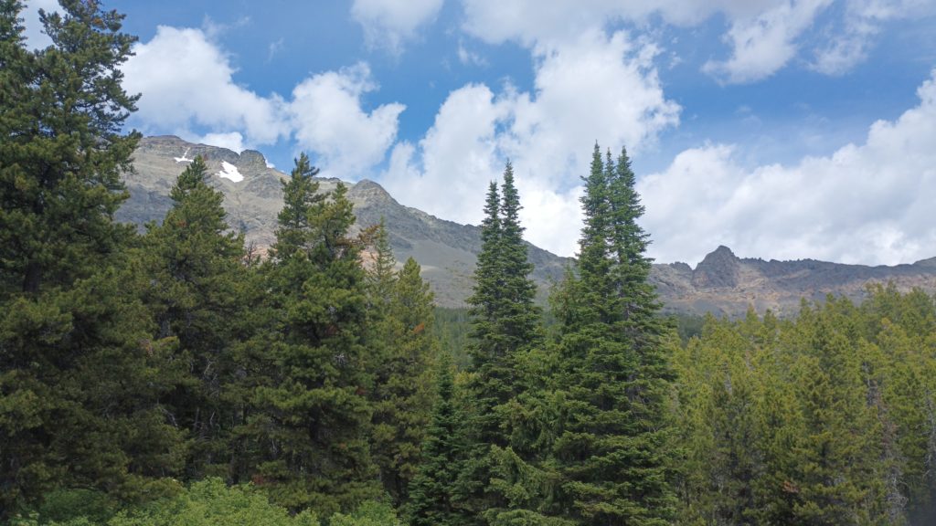
Climbing the mountain from MacDonald, we were fully suited and our rain gear and grateful for the incline to warm up our muscles. The first few miles weren’t bad within the shelter of the forest. We crested the first climb and entered a meadow which was now draped in fog, and pelted by blowing sleet. Somewhere through the fog was a cell phone tower and our next landmark. We hurried as fast as we could to the communications building at the tower’s Base and dashed around the corner to shelter from the wind. Our current elevation was 7,140. According to the forecast for nearby mountain peaks, temperatures were expected to be below freezing and to be in the teens or low 20s with wind chill. We left the shelter of the structure and rushed across more exposure until we reached the tree line. We stopped and regrouped. This weather was going to win. We took an honest evaluation and decided that we were not fully equipped for this sudden shift to freezing precipitation. Even more exposure with higher elevations lay ahead. For now, the only option was to hike back to the highway and hitch a ride back to Helena. From there we could do one of two things: gear up further and carry winter weather equipment, or wait it out. After the descent we stood back at the highway, shivering, trying to thumb a ride, and feeling a little defeated. A couple in a pickup truck traveling the opposite direction took pity on us and told us as we climbed into the truck that they turned around just to give us a ride back to Helena. We really needed that pity ride.
We finally made it to Butte just in time for strong spring storms to blow in. The forecast showed torrential rain for the next few days, so we decided to get a ride over to Anaconda, Montana where there is a free hiker hut to stay in, and take the alternate route north from there. Once the rain died down (or so we thought), we finally stepped back on trail.
The rain kept coming. Our first night out we had a ride awakening regarding unexpected trail conditions. Invasive beetles had killed many of the lodgepole pines at elevation, leaving behind tons of deadfalls and widow makers. This made finding camp extremely difficult. Tarp camping leaves you a bit more exposed, so ideally we would set up under some sort of natural coverage, typically tree cover. But with all the dead trees, the ground being saturated, and storms blowing through it was just too risky to set up camp under the trees. This meant we had to make camp in grassy meadows, fully exposed.
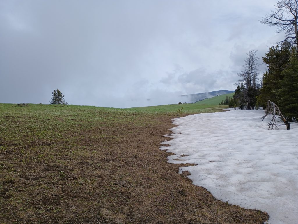
We didn’t find suitable camp until around 10pm the first night, and it was incredibly sloped. I didn’t sleep very well because I kept sliding into Chris. The second day out we were exhausted but the weather mostly held up. We reached our first patch of postholing through snow so far, in a section that didn’t have many blazes to follow. This made for a slow going few miles of constantly checking our location on our phones. Once we made it through the snowy patch we started cruising and felt good about making better time than expected. We started the descent to our planned camp area and booked it downhill for a couple of miles, following what we thought were CDT blazes. At the bottom of the descent we checked our location to see how far we were from camp and realized we had taken a wrong turn, all the way back at the top! This was a tough pill to swallow, having to climb about 1000 feet with a couple bonus miles to backtrack. It’s a good thing we were making good time prior to the screw up! We still made it to camp with daylight to spare, partially due to the long days this time of year in Montana.
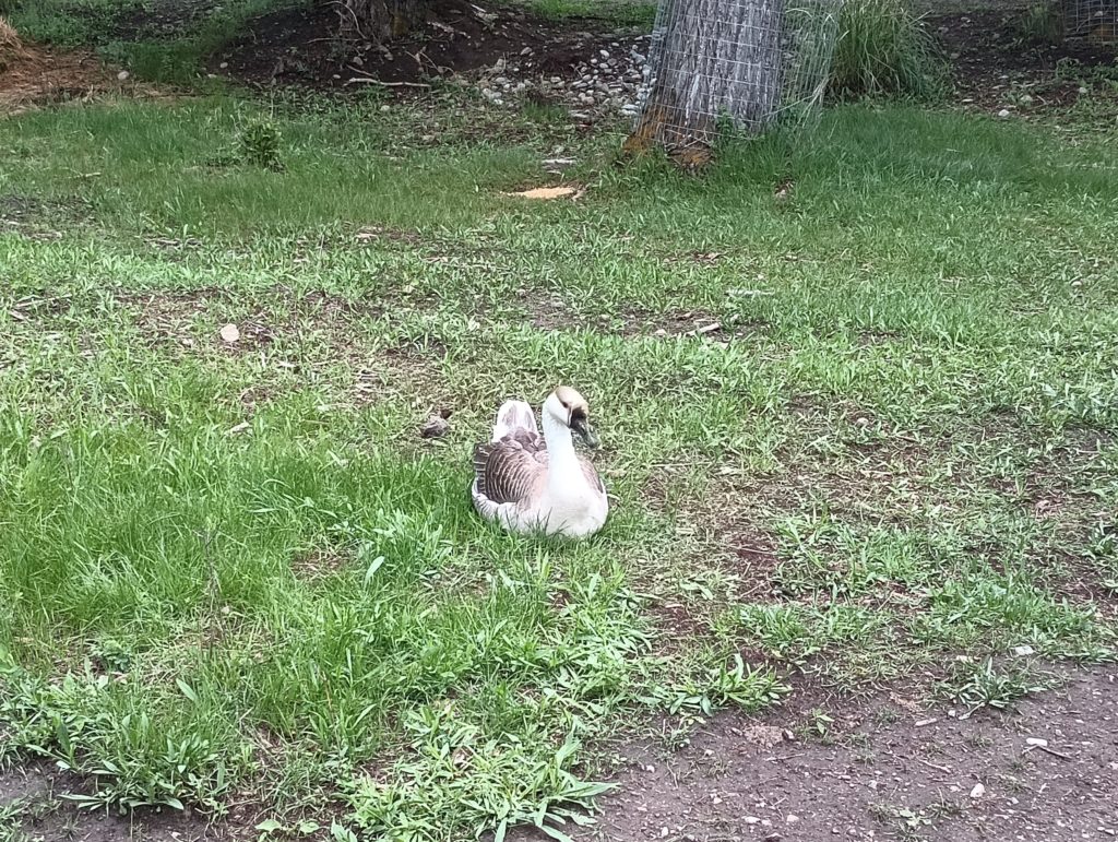
Day three was pretty uneventful until evening. We took an alternate route around Thunderbolt Mountain because of the forecast storms, and to avoid any more snow slowdowns. We came across a big bird (maybe a grouse?) right next to the trail that didn’t seem to be bothered by us at all. While we avoided the snow, we eventually came upon a damn obstacle course of blowdowns all over the trail. For about a mile we had to scramble over and around wet dead trees scattered about like a pile of dropped toothpicks. This would have been fun if we weren’t trying to make good time!
Once again, potential camping spots were scarce. There were comments in the FarOut app about a pond with some camping that was right around the mileage we were making that day. We got to the pond and it was not good. It was next to a dirt road, with broken glass and lumpy washed out ground. But there was a storm coming and it was getting late so we didn’t really have much choice but to pitch our tarps. Almost immediately after getting camp set up, it began to hail. And it hailed hard and heavy. I looked over to Chris’s tarp and could see him holding up the side of it against the wind. I looked around and could see the hail bouncing under the tarp and onto my quilt, and the washed out ground flooding around me. I had to act quickly to prevent my down from getting soaked and then having no way to stay warm through the night. I grabbed water bottles and rocks and whatever else I could find to prop up the edges of my tyvek ground sheet. It actually worked pretty well! Finally, after what felt like hours (but was maybe 40 minutes) the hail stopped and we were able to evaluate our circumstances. Our only choices were to try to eat a ton of food for warmth and calories and try to get some sleep, or to hike several miles down to a campsite that had pit toilets we could hole up in for the night. The pit toilets just didn’t sound appealing, and our quilts were damp but not soaked (thanks hydrophobic down!). So we made it through the night and finished the last 14 or so miles into Helena the next morning, reluctantly deciding along the way that we were going to send our tarps home and switch back to tents!
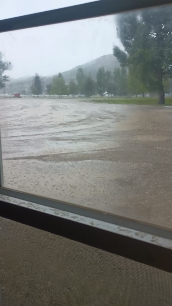
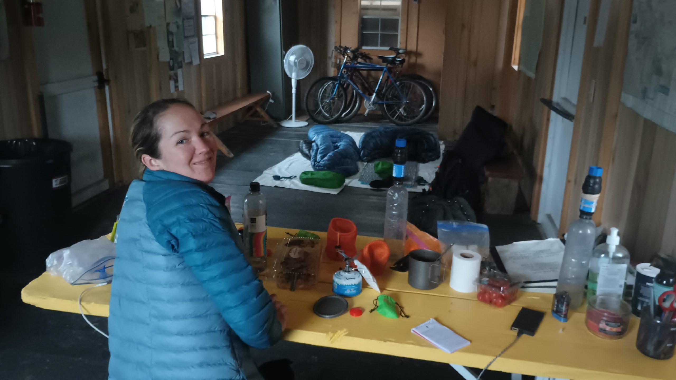
Were sitting in the Hiker Hut–a community supported hiker shelter in Anaconda, MT–waiting for the worst of the incoming weather to pass. Flood watches and heavy rain hit this area starting Tuesday while we were still in Butte, so we took the shitty weather as a chance to get planning completed and food boxes shipped ahead for the 400 mile section between us and Canada. We’re both restless and ready to hit the trail again, but at least we’re dry for the moment. This has been almost like a little vacation in the middle of a long hike. I hope we didn’t start to get soft!
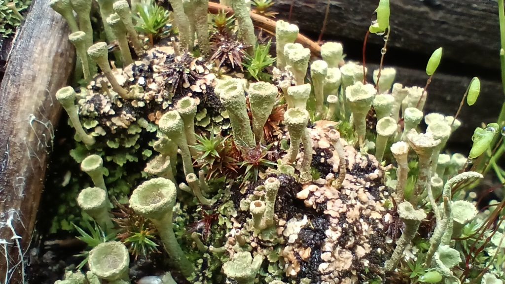
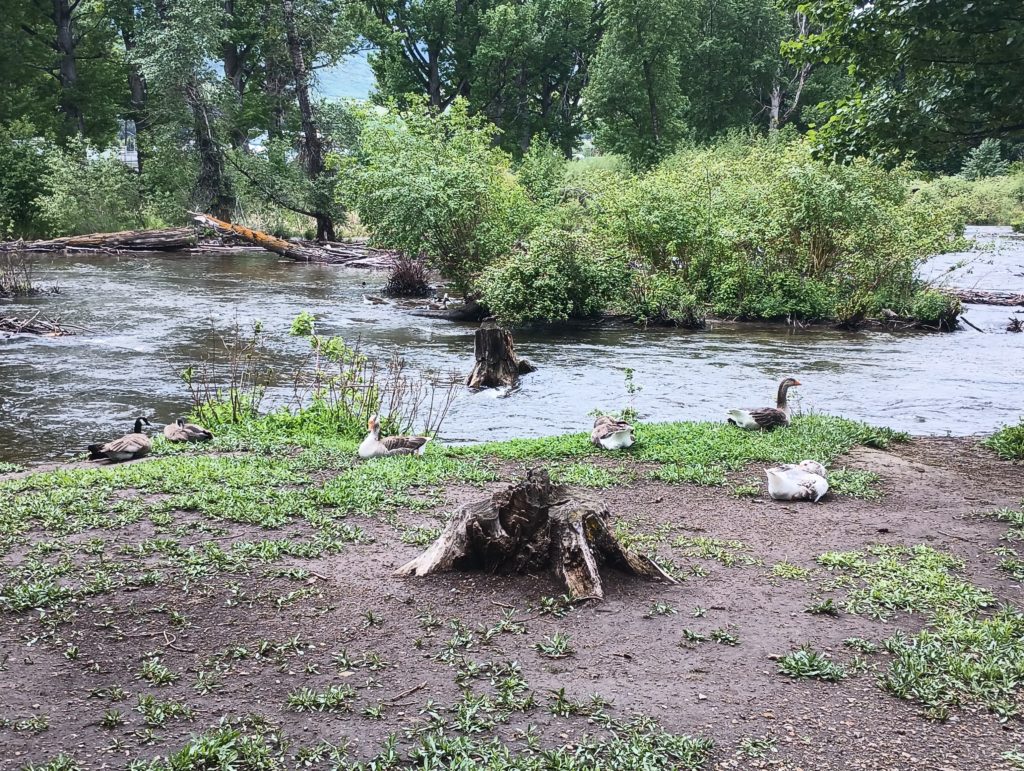
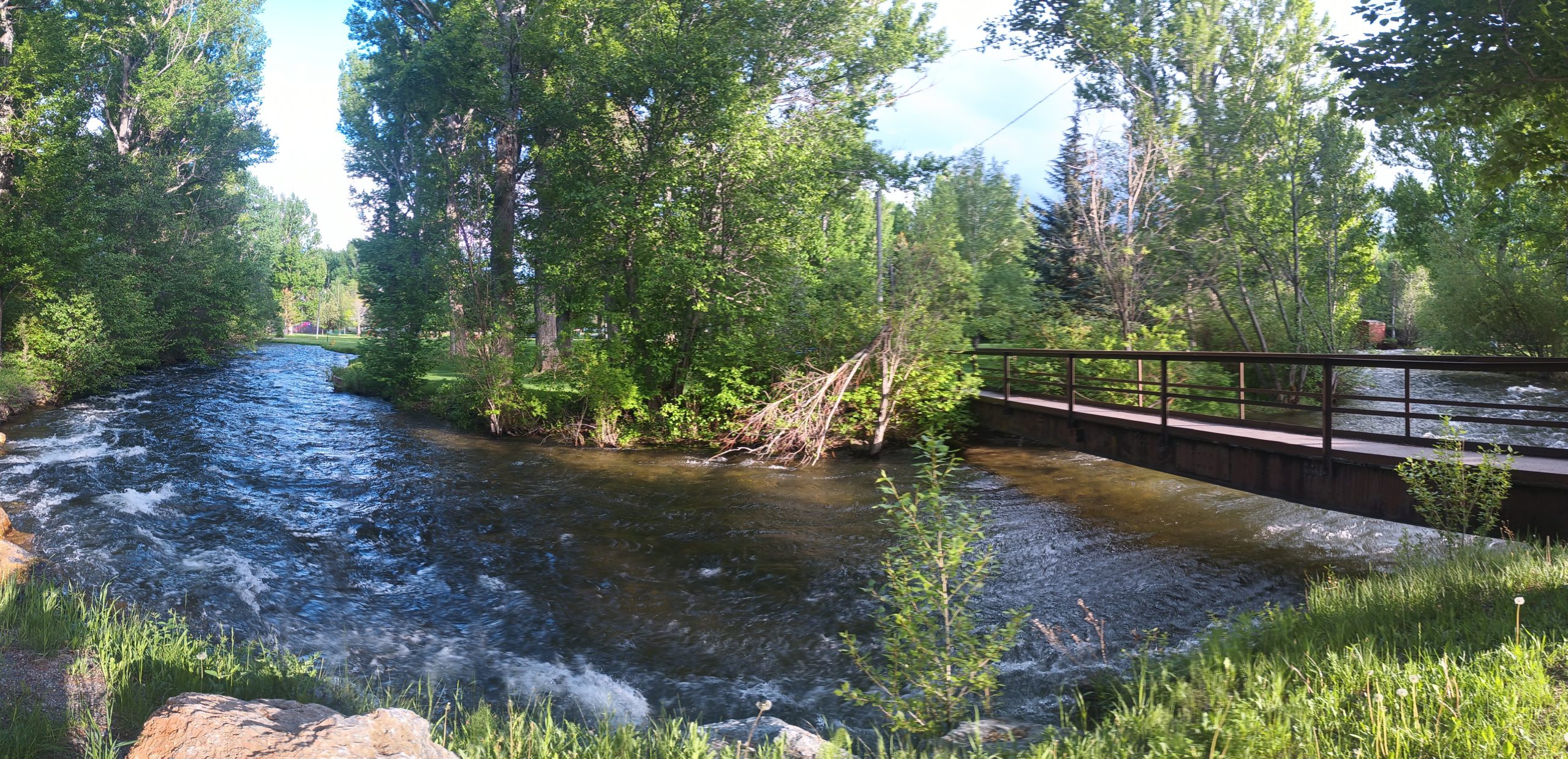
On a brighter note, the creeks and streams here are definitely flowing so our backs won’t be burdened by water like they were in the desert!