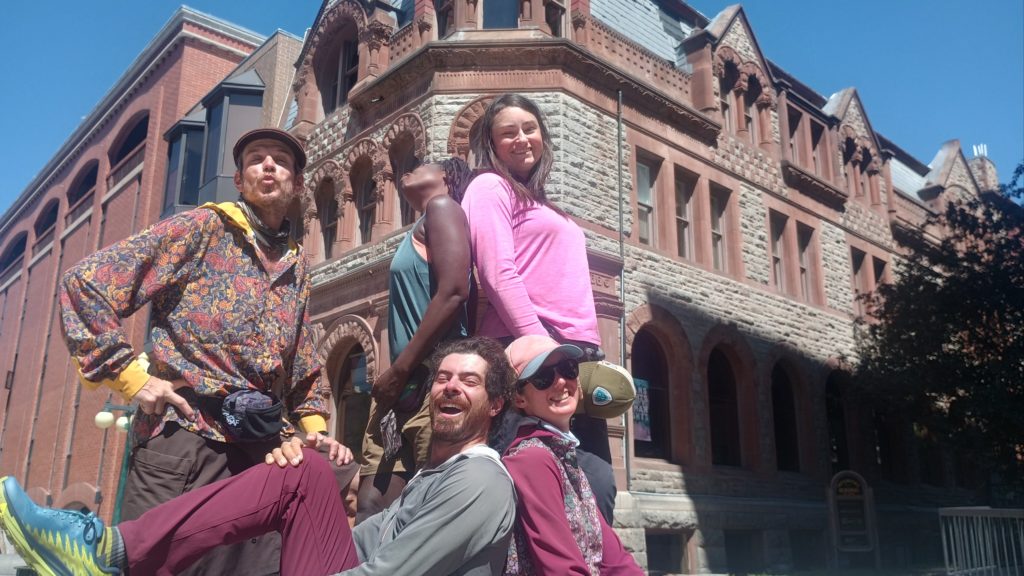
We ran into Dragon Sky, Lavender, and Jenga downtown and Helena!
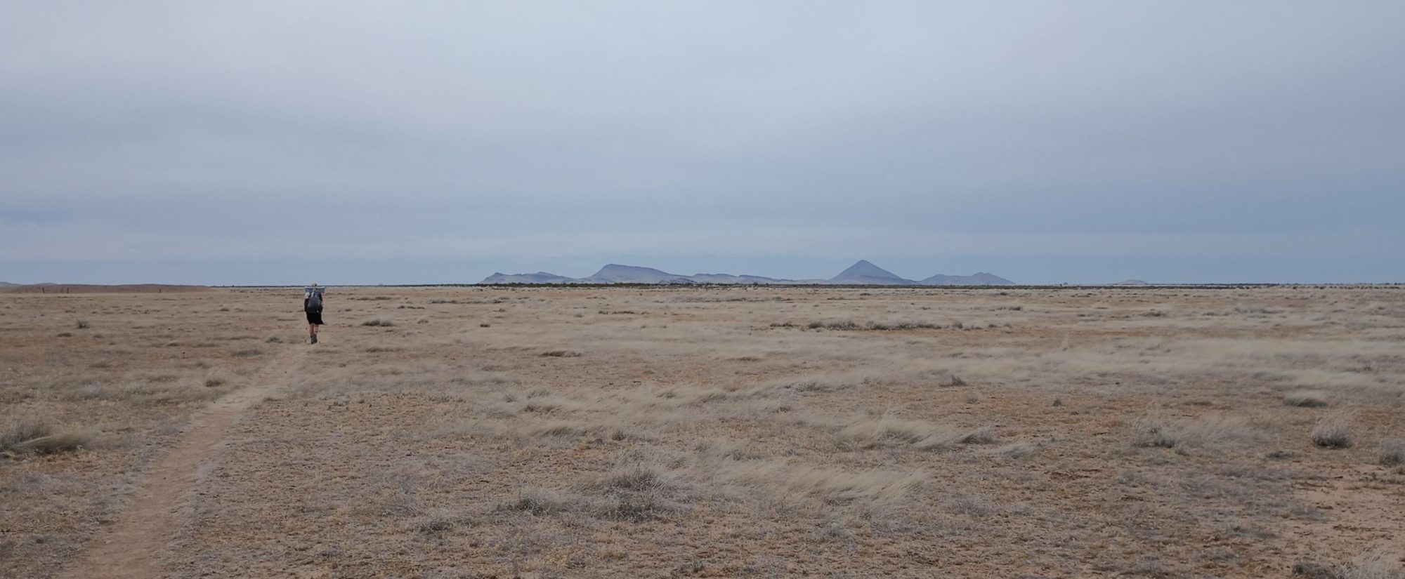
Our Hike on the Continental Divide Trail from Mexico to Canada

We ran into Dragon Sky, Lavender, and Jenga downtown and Helena!
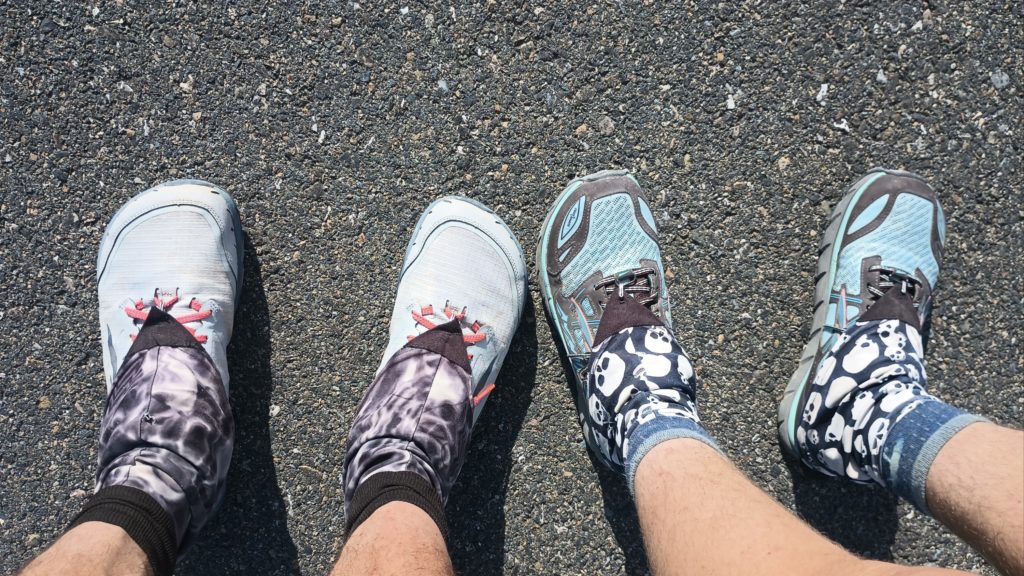
Somewhere around 1,000 miles and counting.
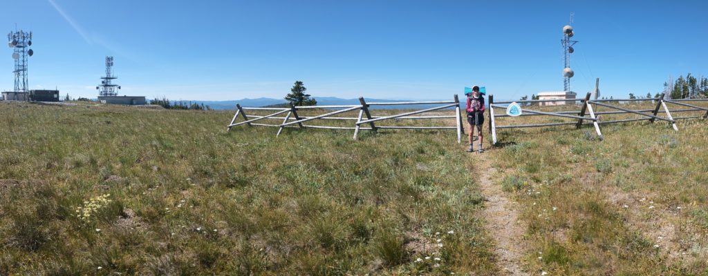
Nobody but us will understand it, but this is a personal win for both of us. We finally made it back to Macdonald pass – – the place where sleet, snow, and wind chill forced us back off the trail. The fog and sleet were so thick we questioned everything we were doing out here. This is the exact place which made us lose trail time and go ahead to Canada while the weather was bad. That day felt like the lowest point of the hike so far. It’s relieving to reach the same place in higher spirits, more accomplished, and confident in our ability to finish this. Huge personal win. Not much of a landscape though!
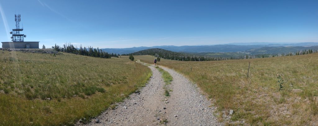
We left Augusta via a ride from a local and got back to Benchmark trailhead mid-morning. Just like our ride into town, this morning we got stuck in a cattle drive for about half an hour as the sea of black cows parted around the truck.
We knew the next section had a lot of elevation gain and loss, but nothing prepares you for trail conditions. This stretch was very much like the Appalachian Trail–ups and downs followed by more ups and downs–but with slippery gravel trail and much better views. After over 20 miles of exposed ridge and forceful winds, we camped at Lewis and Clark pass (yes, the pass they crossed) on night two with another hiker named Graceland. After even more ridges, ups and downs, exposure, and threat of rain, we made it to Flesher pass by night three.
We had one more partial day to reach high divide outfitter on day four, and our legs and lungs are getting whooped. Smoke from wildfires in Canada started reaching us on the jet stream and the air was still very hazy. By the time we reached the outfitter at Stemple pass we needed a break. We heard Dave allowed people to tent on his property around the shop, so we planned a short day, shopped for food, took an outdoor shower, and rested.
A few other hikers came in and out that day but Switchbacks and Viking both camped for the night. We all commiserated and chatted around the picnic table until it was time for bed. Switchbacks found a used pair of shoes to get him the rest of the way into Helena where his next pair were waiting.
Eager for town and exhausted by the climbs, we searched the maps for a lower route to Helena and set out on a 30-mile day through the gulches in the valley before climbing back up to the CDT north of McDonald pass. We had our asses kicked over the last few days, but the promise of town food and rest kept us marching to within 8 miles of the city.
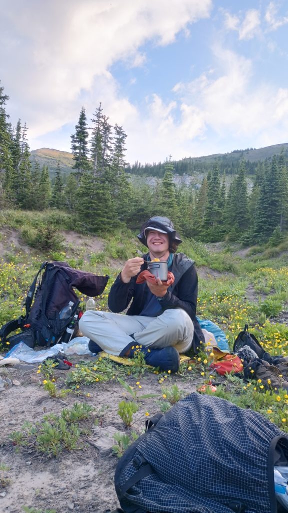
For the first time since New Mexico we actually camped with a few people. We all set out from Marias pass after a shuttle ride from Looking Glass hostel and kept nearly the same pace for a few days. The first few days setting out in the Bob Marshall Wilderness we’re a little eerie, but the hiking was pretty mellow with a few good climbs and some long burn scars where the sun beat down or exposed us to rain. We were finally getting some rhythm and familiarity in grizzly country. We camped by a stream with Toodles and Spood the first night, where’s Spood attempted to summon every bear in the forest by cooking bacon for his macaroni and cheese. At the end of the second day Goat, a thru-hiker from Japan, joined the four us around the fire Spood built and we all stayed up a little too late drying our feet and enjoying the company.
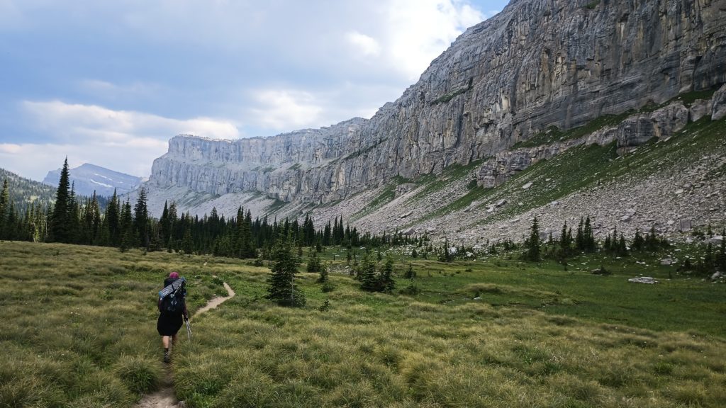
On the afternoon of the third day, we finally reached the Chinese Wall –a massive and striking rock escarpment deep in the heart of the Bob. Really, this formation is majestic. Photos simply don’t do it justice. The trail along the wall follows it for about 10 miles, but around the halfway point we passed a beautiful little campsite right along the cliff face. As we scouted, we both knew we were stopping early. This place was too perfect. With a big fat marmot keeping us company most of the evening, we camped alone, ate early, played some cards, and generally enjoyed the scenery and atmosphere in this magical place. Being roughly a 40 mile round trip from the nearest trailhead to where we were, even most locals do not get the chance to visit this area.
We left the wall the next morning and followed the fairly gentle hike all the way out to Benchmark trailhead. Along the way we passed several horse caravans loaded with gear to venture out and make camp somewhere in the wilderness. Montana is far more Montanaey then I ever gave it credit for. We reached the trailhead in the evening and caught a ride with some backpackers headed back to Augusta where we planned to resupply and catch showers and laundry at a campground. Being one of the only two options for town resupplies, there were a bunch of thru-hikers around the campground picnic tables when we arrived, many of which were already familiar faces.
We finally Made it to the Canadian Border and headed south. Due to camp closures from bear activity, difficult logistics and other costly stuff we opted to start at Chief Mountain border crossing instead of entering Canada. We had a 2 ½ day stretch to St Mary and the end of the permit. Our first day was 20 miles to Poia Lake, and our second was 28 miles to Gunsight lake.
I have no words for how beautiful this park is, and the pictures barely suffice.
Once we reached St Mary thanks to a hitch down the Going to the Sun Road, the ranger told us exactly what we thought they might: there are no walk-up campsites there and no camping permits available to get us back to Two Medicine by trail. We called a Mountain Chief Taxi (a local hiker shuttle) to see if we could get a ride back to the hostel. Ronda, the shuttle operator and local Pikuni woman, invited us to camp on her land on the reservation for the night and offered a ride in the morning. We gratefully accepted and started up the highway after an expensive lunch from the local grocery store. Tourist town.
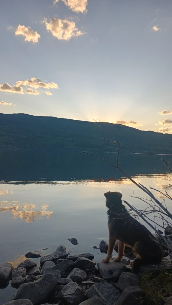
Camp was quiet, peaceful, and accompanied by a reservation dog we dubbed “Pedro” who joined us for dinner by St Mary Lake. After sitting by the lake at sunset for hours and sharing some dinner with Pedro (he was really hungry), he looked us both directly in the eye, seemingly to say thanks, before walking away into the forest. We never saw Pedro again.