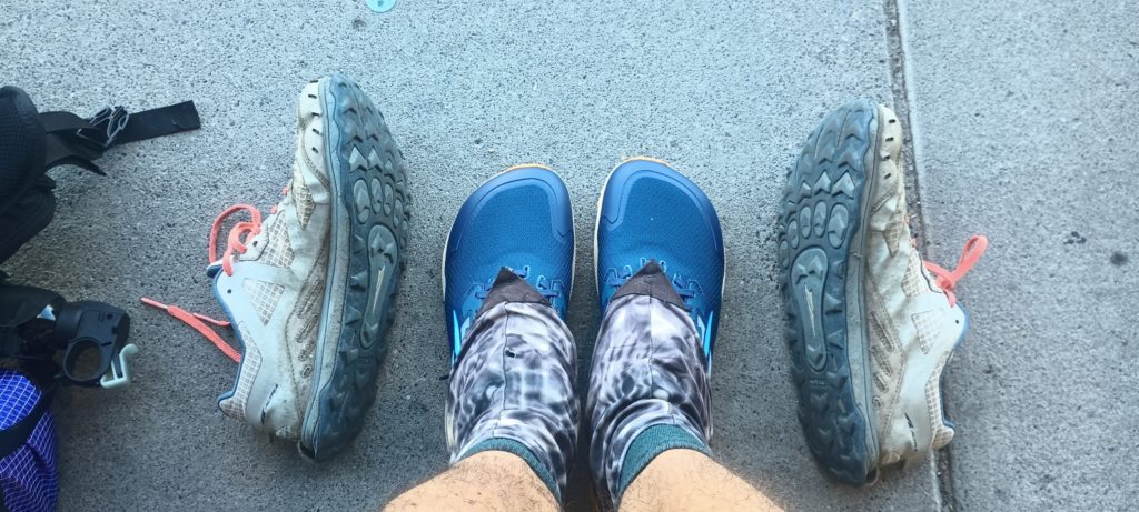
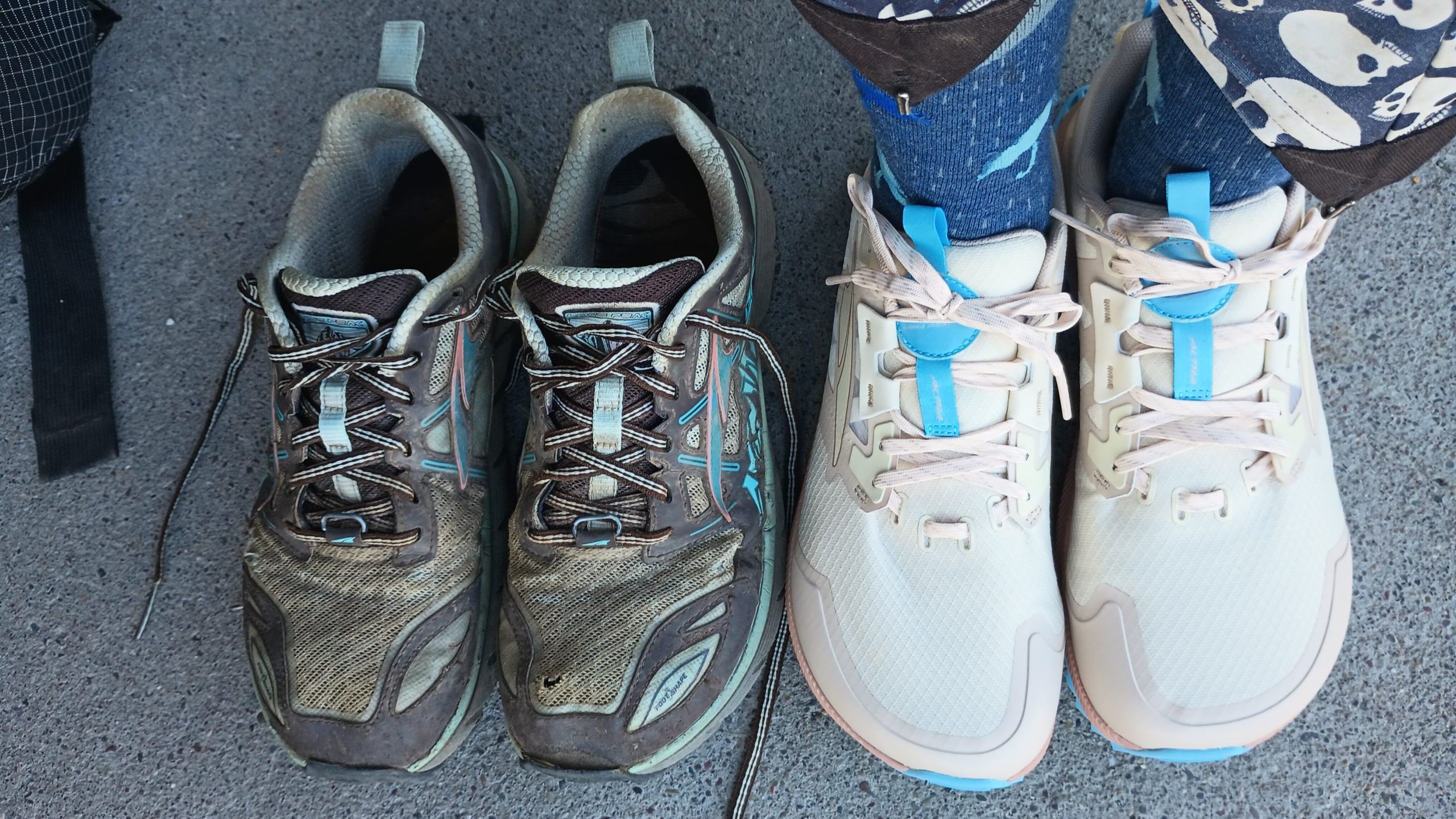
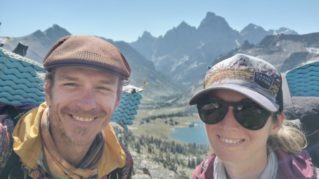
We made it through!! We are all the way through Yellowstone and Grand Teton National Park, and it’s time for shoes! We have a whole bunch of pictures and posts to write, so check back below since we will back date them. Holy s***! We’re back in Civilization for a moment, and found an REI!
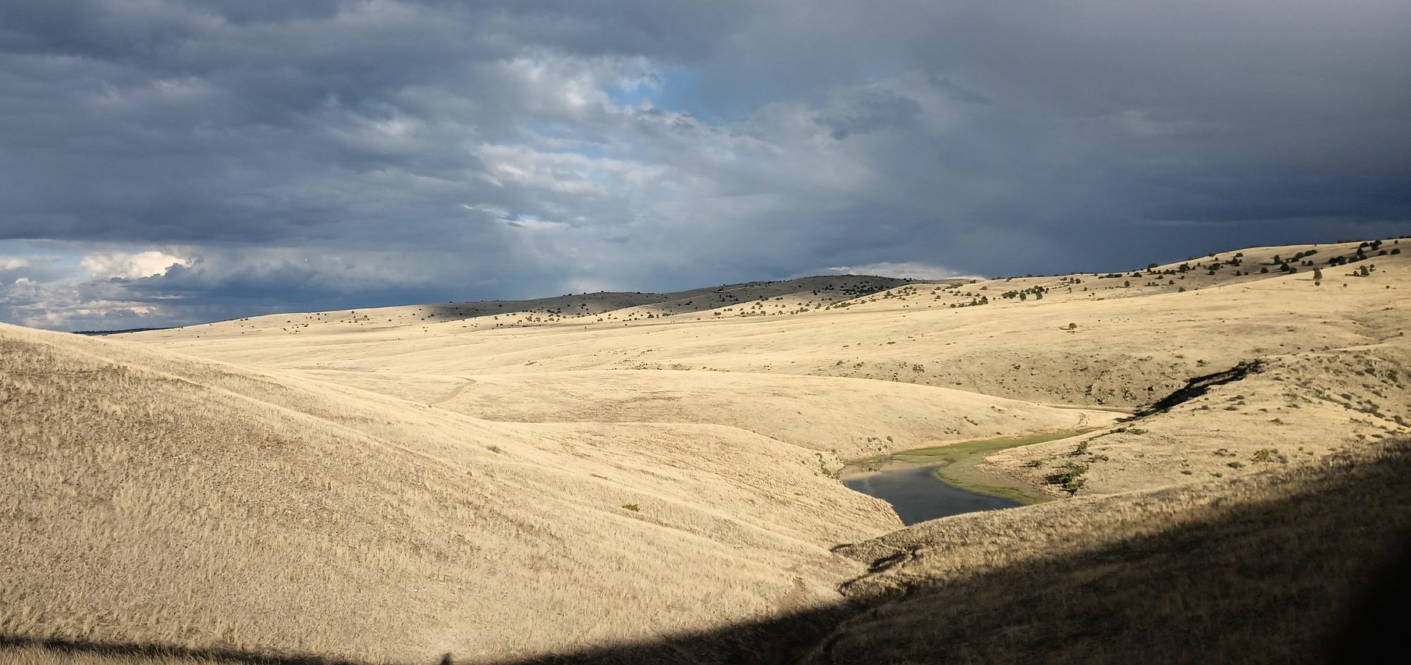
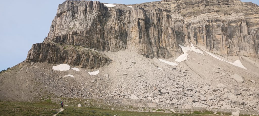
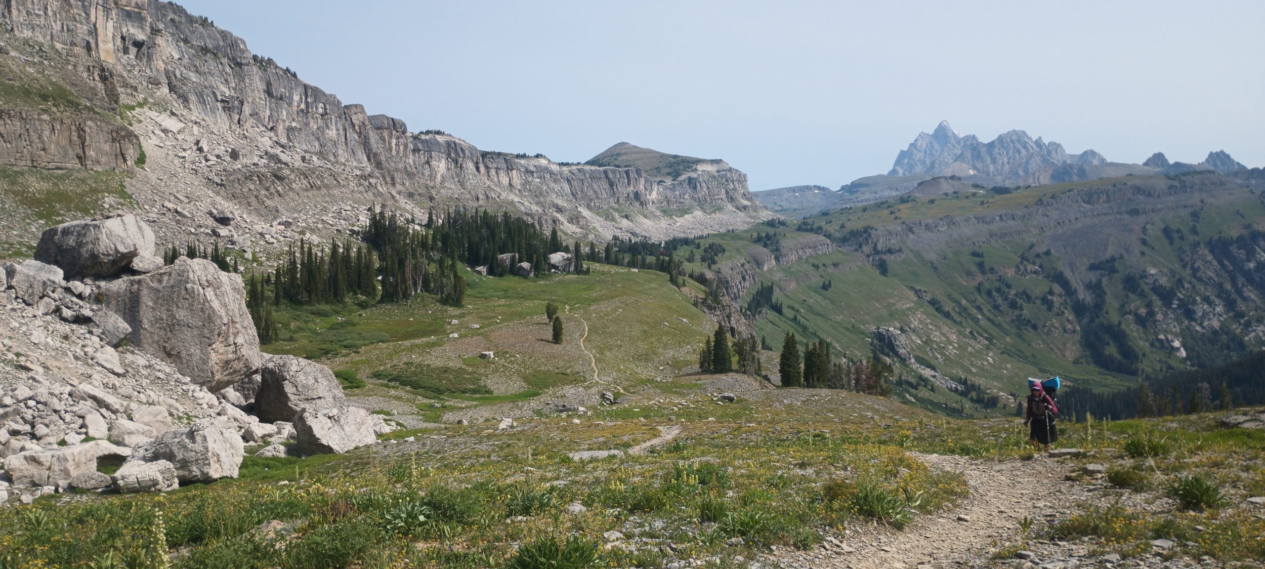
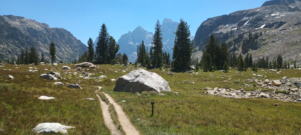
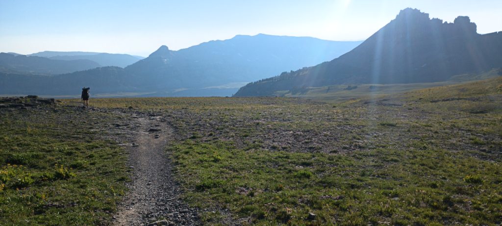
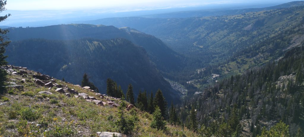
From Sunset Lake we climbed the ridge and looked out over Alaska Basin and into the Park. We had a very pleasant day ahead. We were hiking out of the highest part of the range, the terrain looked easy according to the maps, and this was the last day of the perfect weather we hoped to get in the Tetons. The trail became a national park trail again as we made our way to the huge escarpment which towered over the Death Canyon shelf.
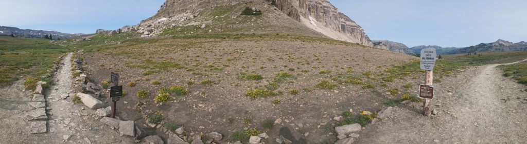
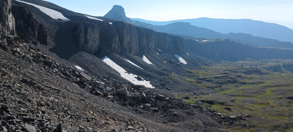
The huge cliff wall above Death Canyon was reminiscent of the Chinese Wall in Bob Marshall Wilderness but without the dense forest such that the huge house-sized boulders fallen from the wall could be seen for miles in the distance. The scale of these rocks and cliffs is hardly imaginable even in person. We passed lots of other backpackers along the way to the head of the canyon and Fox Creek Pass.
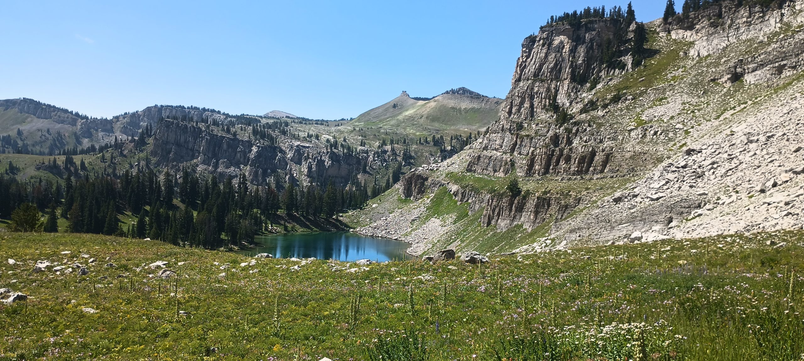
Somewhere on the other side was Marion Lake and that sounded like a good place to break for lunch and a swim. After all of the scenery over the last few days, we didn’t expect to be too impressed but we were impressed nonetheless. This place really is magical! We took a swim, rested, and pushed on. After the last few days, everything now was just dessert.
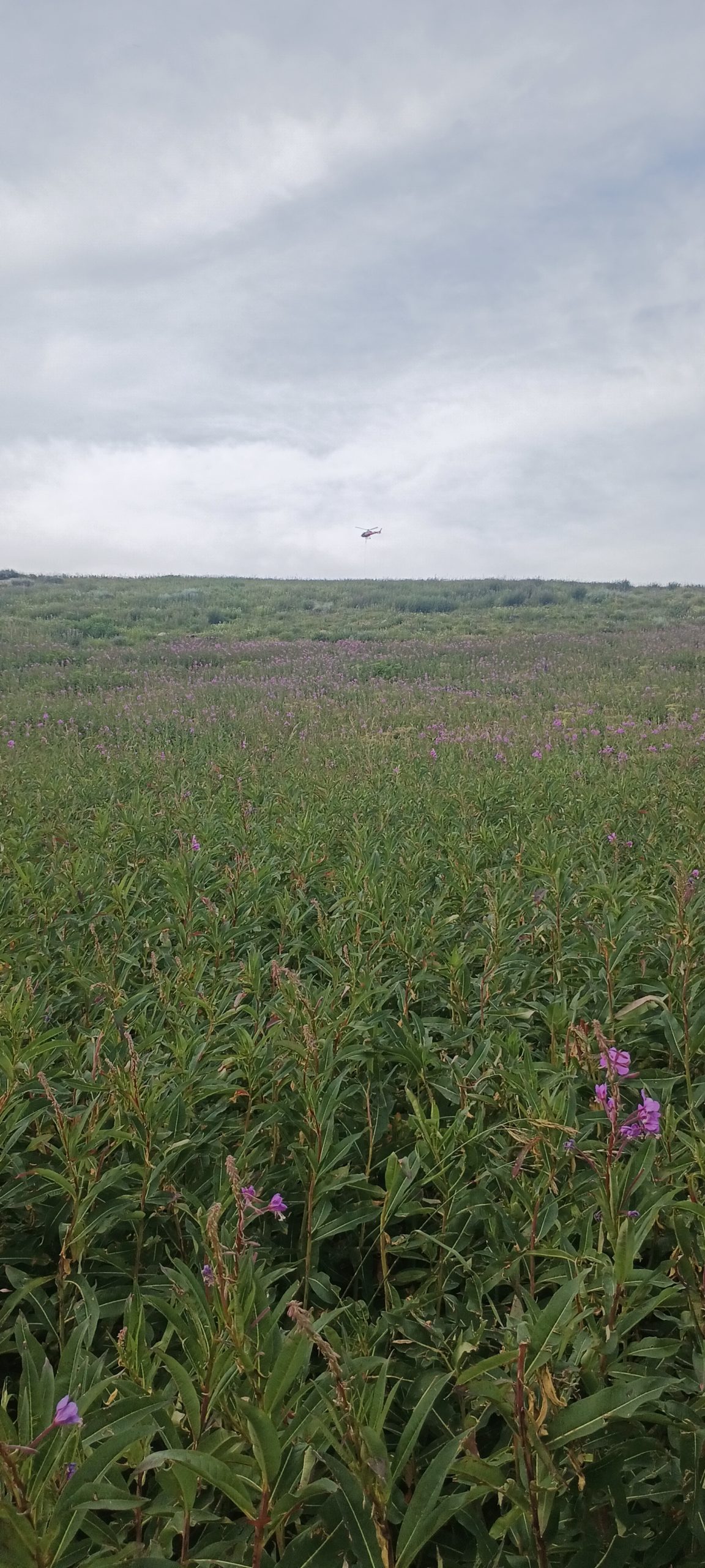
We made the last intense climb and then crested Phillips Pass when a helicopter could be seen flying around overhead. As it got closer we could tell it was SAR. They started circling and looking directly at us. Unsure of how to signal that we were ok, we just continued hiking and tried to look normal (or at least “normal” for us). They eventually moved away but could still be heard. A few minutes later they rose again over the pass lifting a stretcher just a few hundred feet from where we first saw them! No wonder they thought it was us! We later heard a report of an injured hiker being rescued, but no terrible news.
Around this time we started to see our first storm clouds and heard our first thunder. We raced downhill toward the area we planned to camp as the storm grew closer. As the wind picked up, we knew we would have to make camp quickly and soon. In a haste, we found a flat spot near the trail, pitched, and braces for what was coming. Luckily we didn’t get the full force of the weather and managed to get some acceptable sleep.
The next morning, we were woken by passing hikers well before daylight. These folks from Jackson Hole like to get out early! Since we pitched a bit too close to the trail we broke camp in record time and started out into the sunrise. The clouds were breaking and the morning looked like it could be pretty nice. We hurried past funny trail markers and a mountain bike trail named “Jimmy’s Mom” (which filled some time with appropriate jokes), in a rush for town food. Besides breakfast and coffee, new shoes and a long hitch out of Jackson Hole to Dubois we’re all waiting to be had before dark today and we had to make good time.
We woke early, packed camp, and got moving. This was going to be a long morning. It would take what it takes.
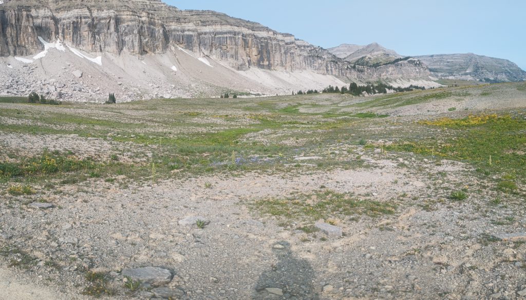
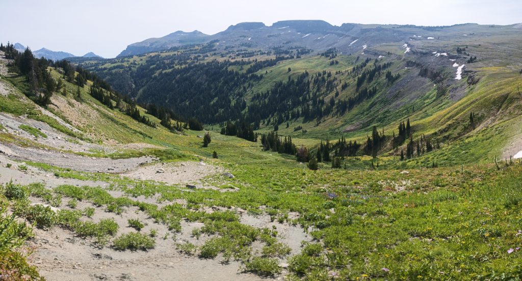
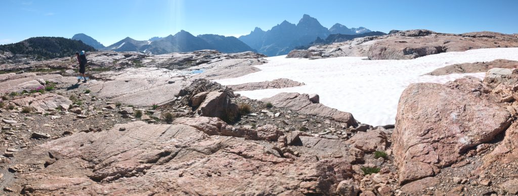
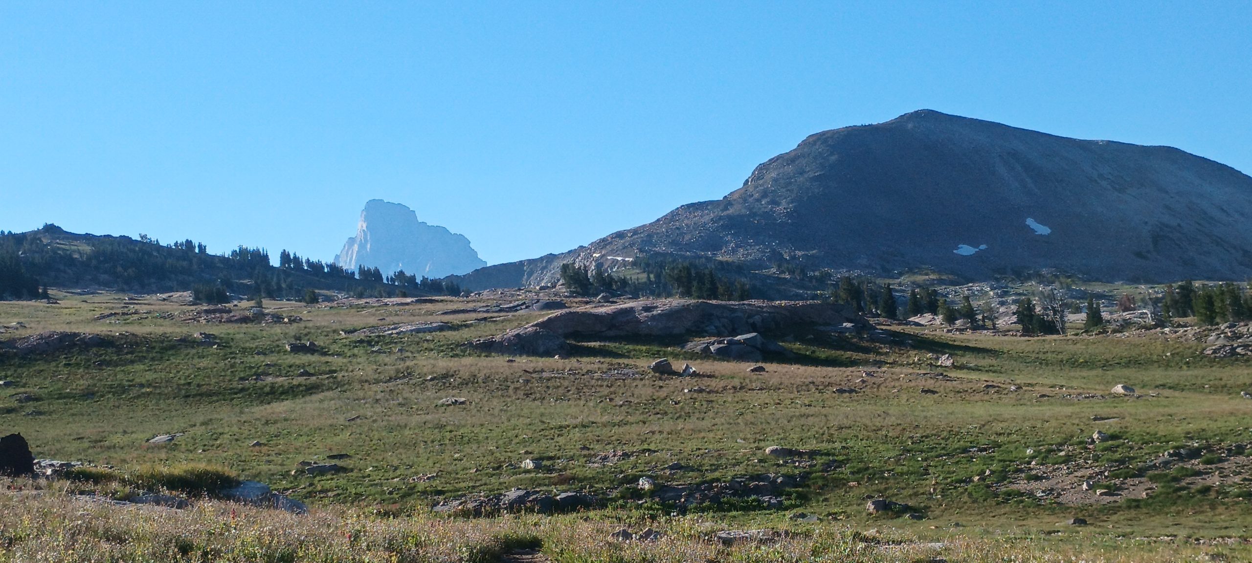
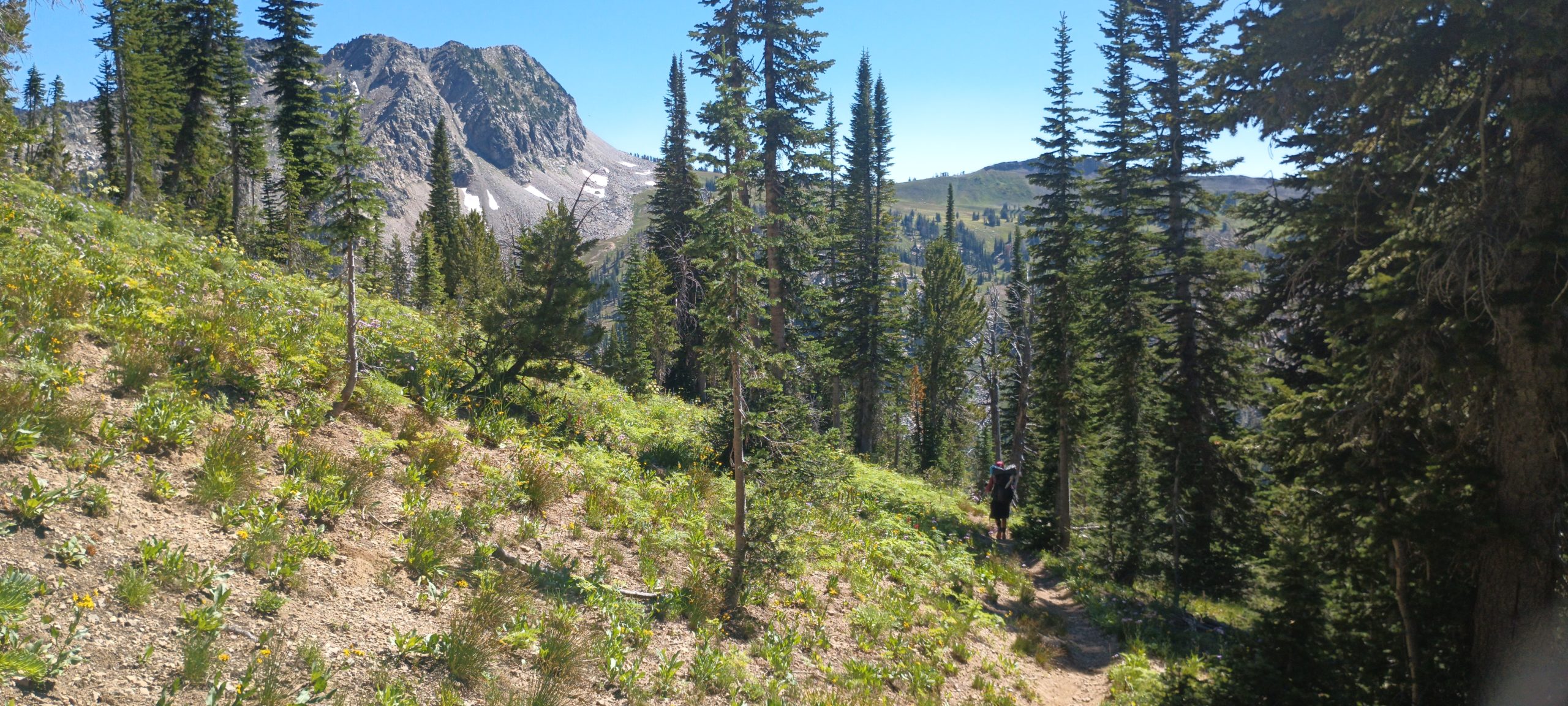
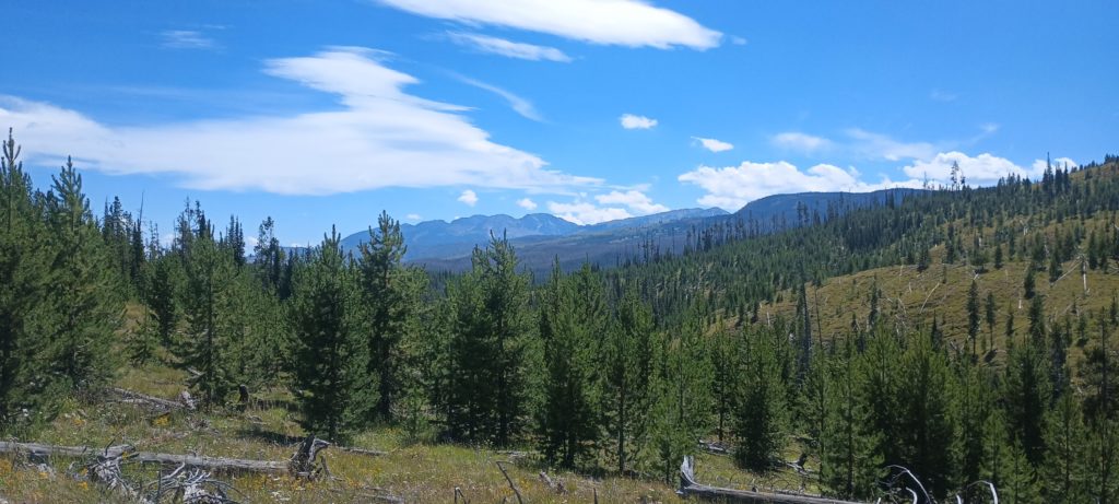
We only had about 1.7 miles to hike before we left the trail completely and started hiking over the alpine terrain. The vegetation at this elevation was short, not intrusive, and interwoven with rock slabs so navigation here would be the easy part. Grand Teton came into view again, but this time was going to stay as we moved higher and closer to the heart of the mountain range.
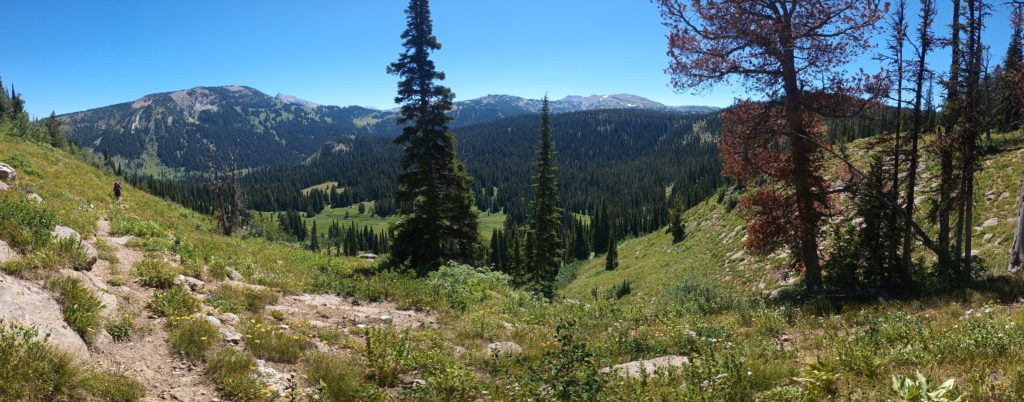
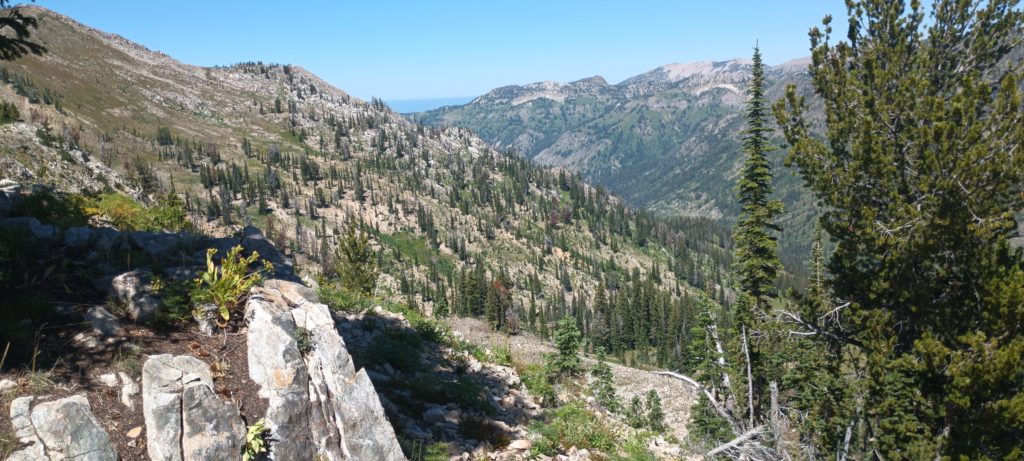
Along the ascent we decided to crest a ridge with views into a huge valley with no trails or people. It’s rewarding to know that not many people get this view without working for it!
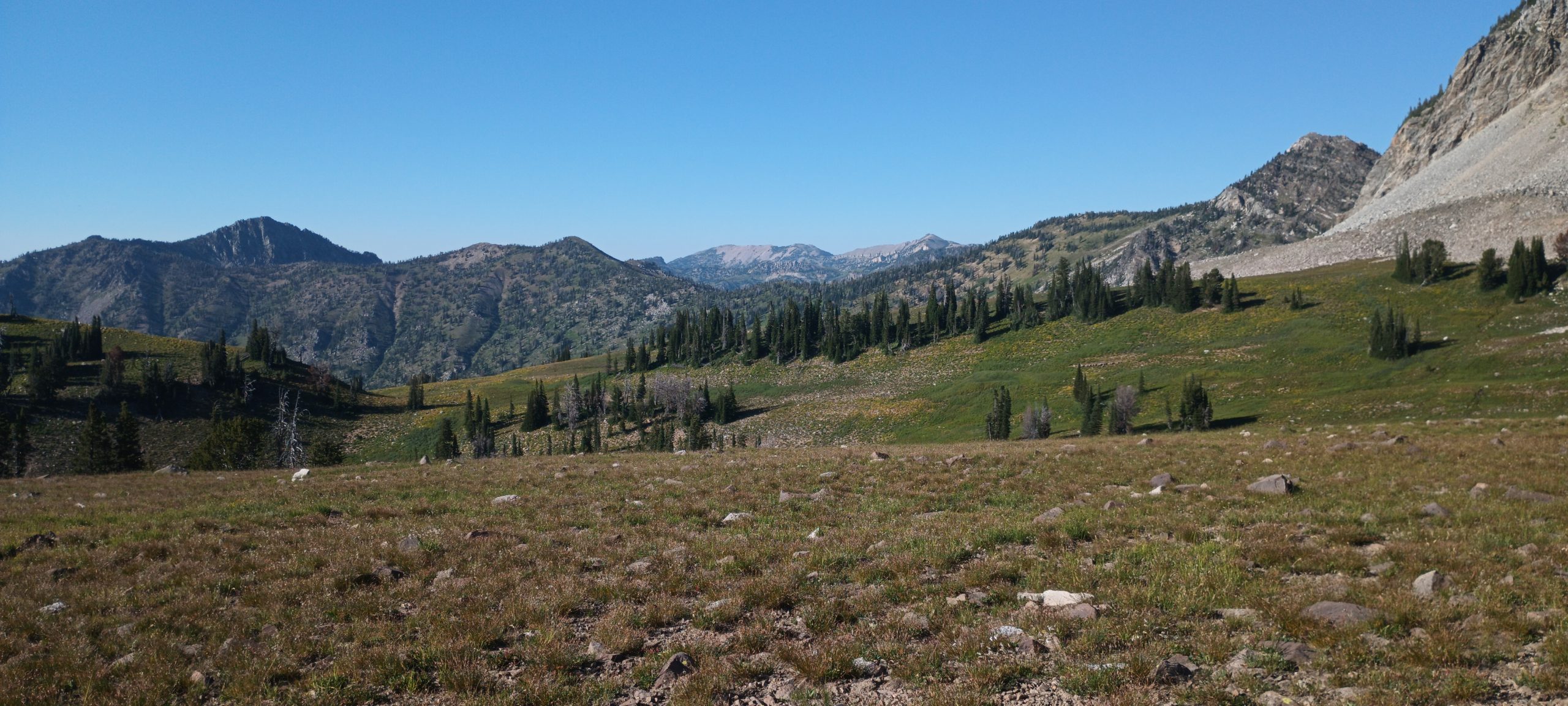
Onward around the gentle side of Littles Peak, the meadows began to give way to steep gravel and soil with slides of large rock. Eventually we reached the narrow ridge we would have to cross by climbing over the two boulder piles balanced on top. The valleys to either side of the ridge we’re again pristine and without trails.
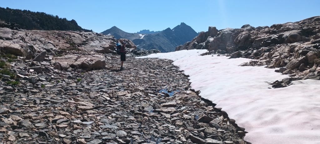
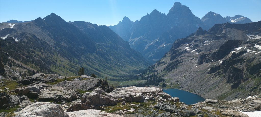
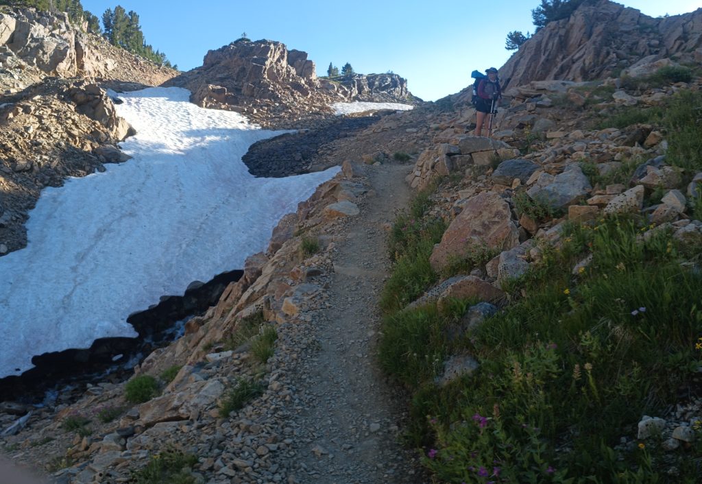
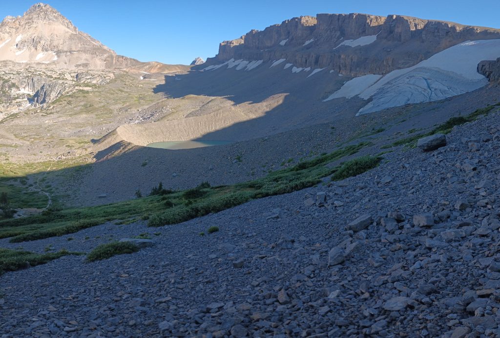
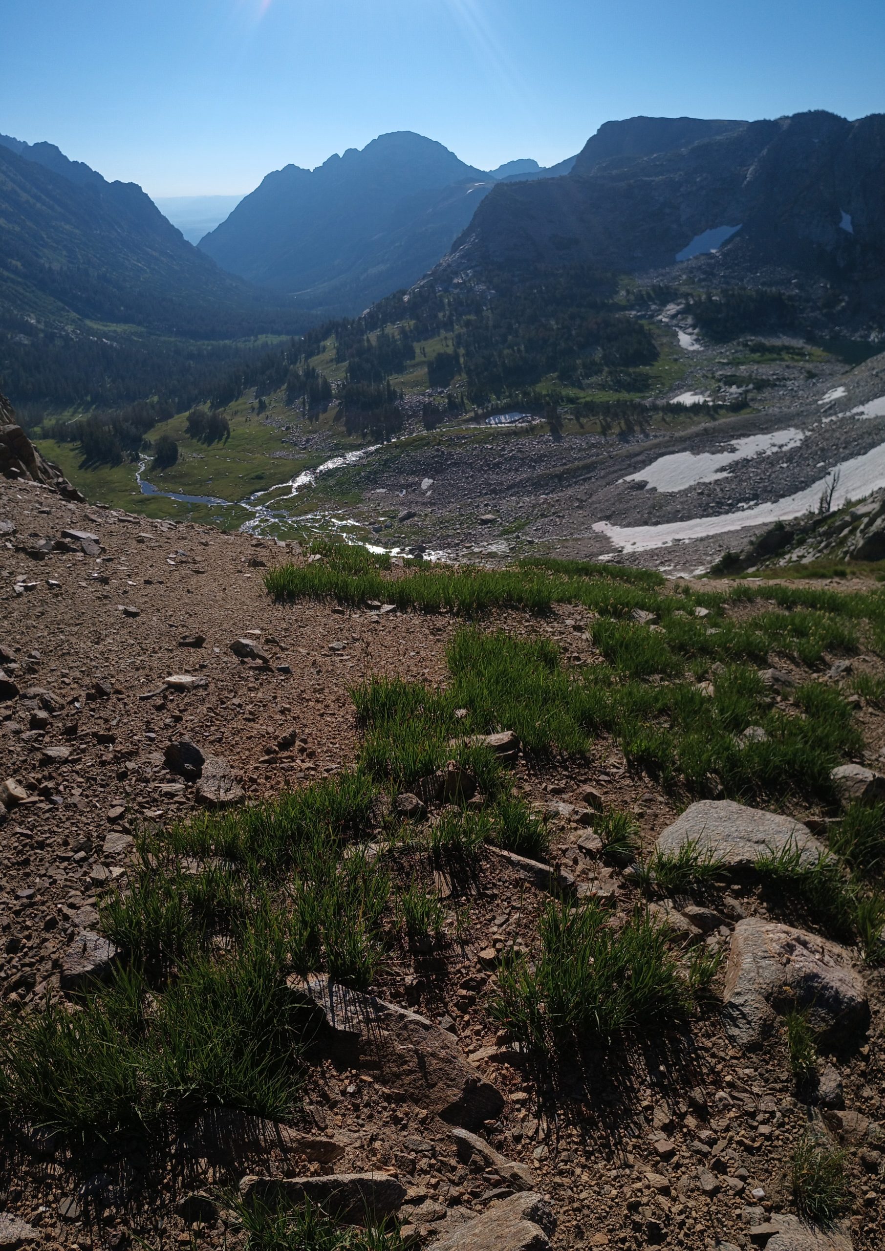
Once we reached the snow fields and bare bedrock on the other side the real work began. We had to find a route down a steep glacial Cirque and descend from 10,400 ft down to 9,060 ft in about half of a mile. We began down a promising depression in the terrain and the travel soon turned to climbing as the route was over talus and boulders. We could identify the few cliffs to avoid as these were rimmed with trees and flattened before they dropped vertically. Moving slowly and carefully, I scouted ahead for waterfalls along the drainage before calling Rattle to follow.
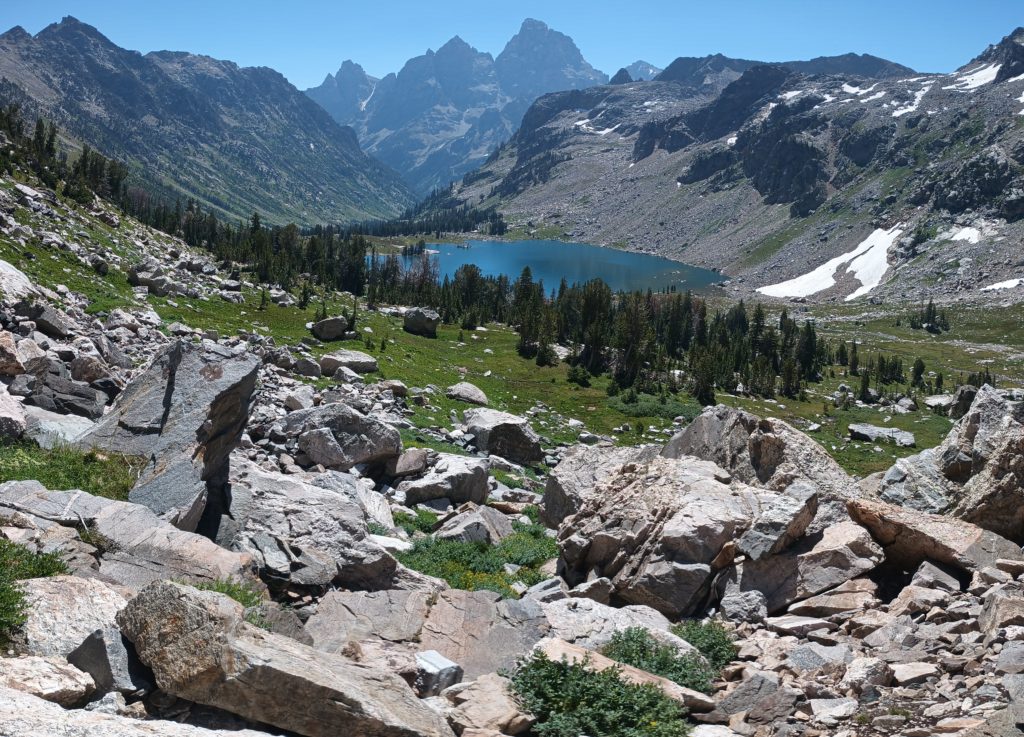
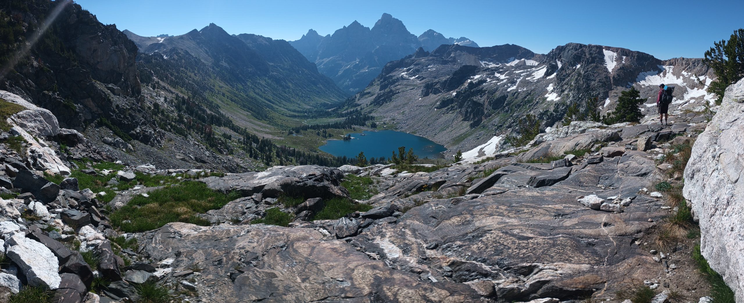
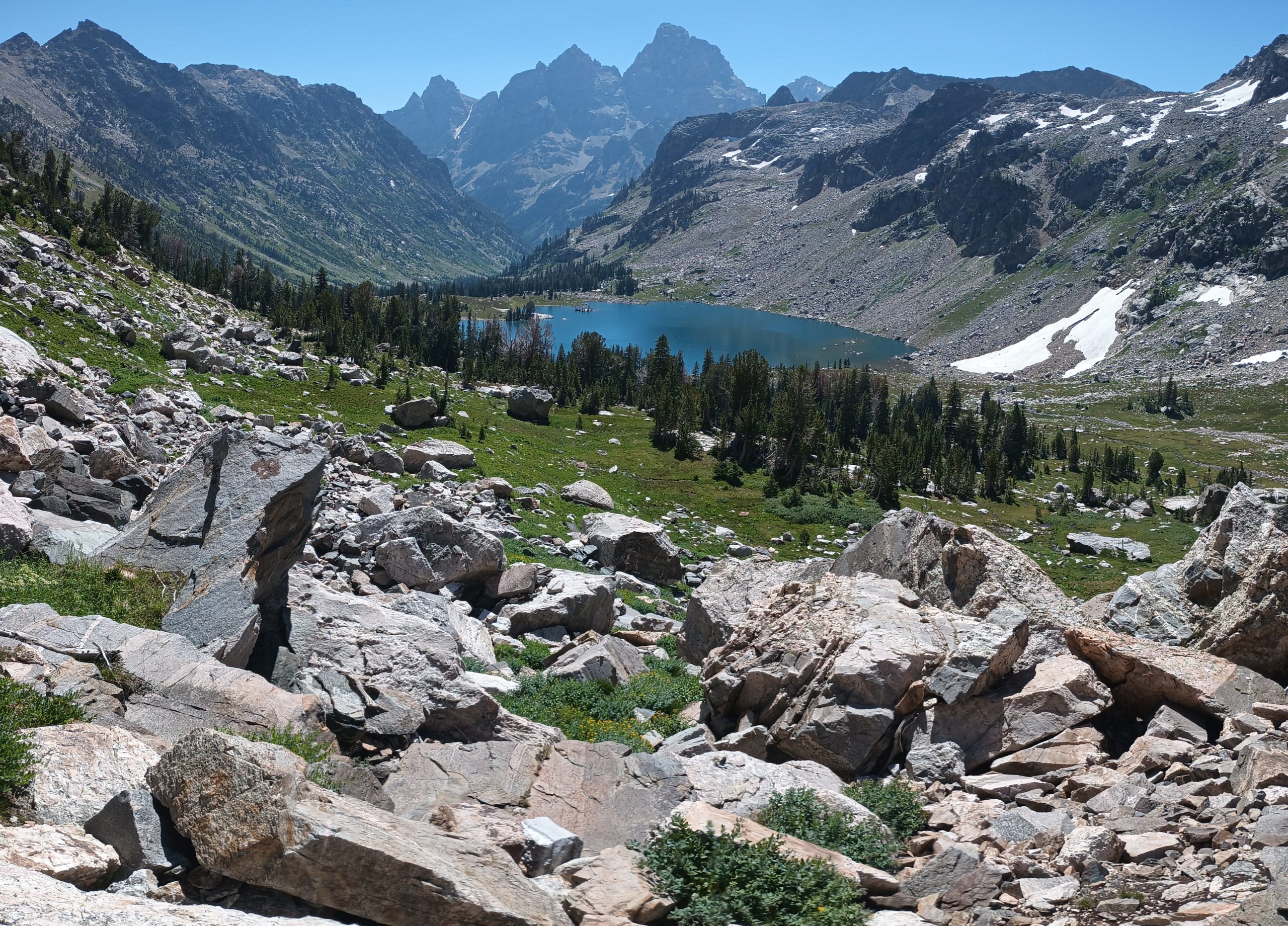
We backtracked a few times to reroute and correct. We reached one of two converging grassy lanes slick with moisture but fortunately littered with rocks for footing. This was the most intensive part of the descent and we took our time. After reaching the talus again and more careful routing, the terrain gradually eased and we were almost able to descend upright instead of scrambling on our hands and feet. Eventually we were able to navigate the last .2 miles with trekking poles mostly in hand and reach an established trail. From camp to the shore of Lake Solitude took about 6 hours.
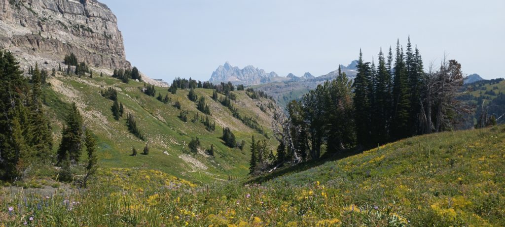
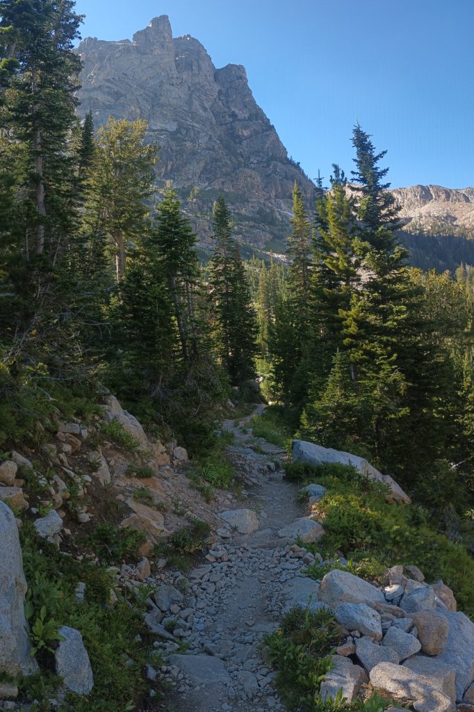
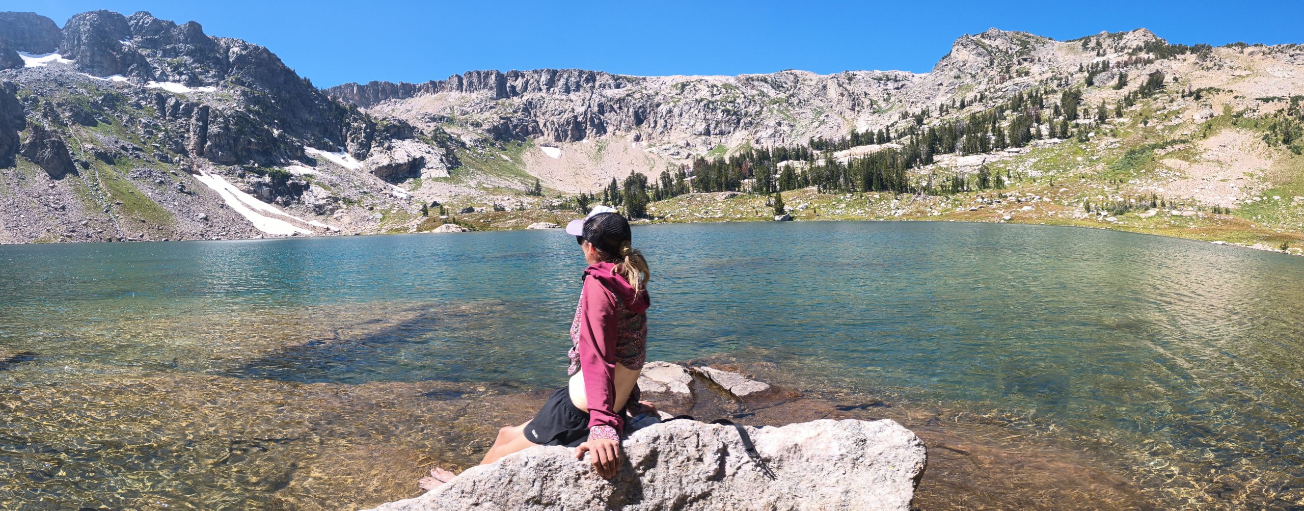
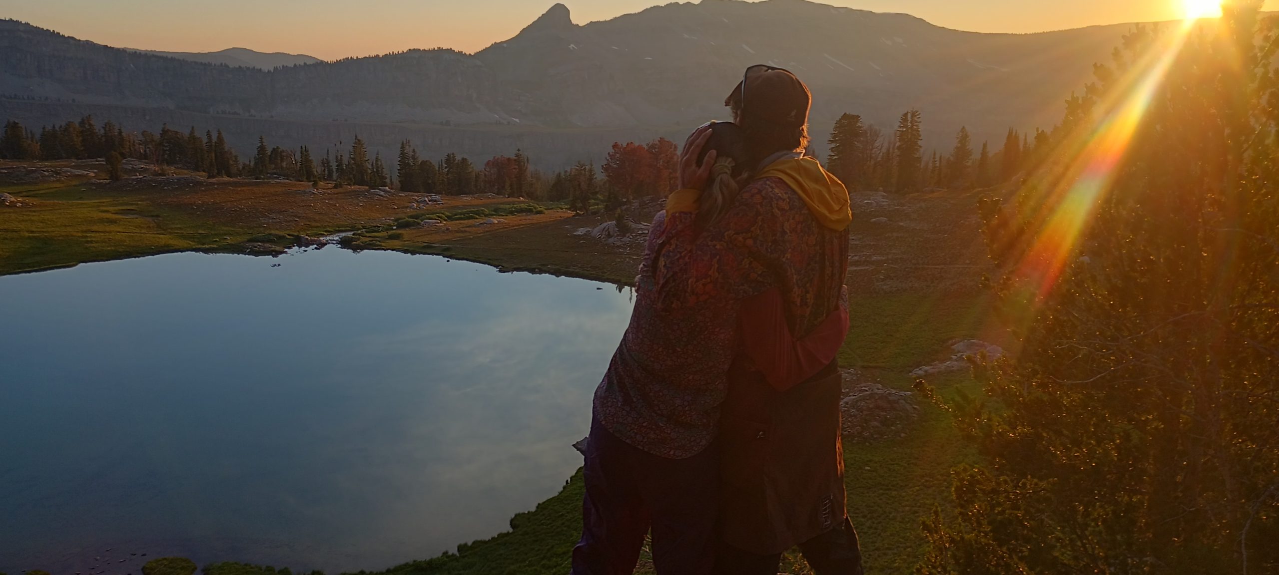
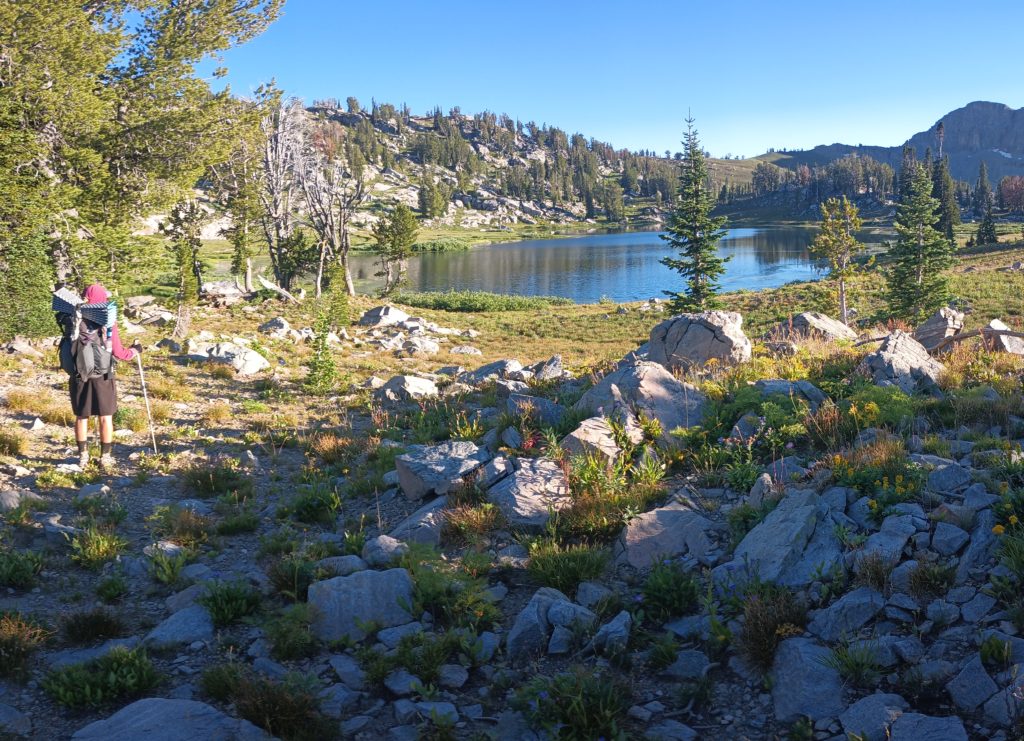
If there was a fair reward for our hard work, we found it. After a dip in the frigid lake we hiked beautiful, well groomed NP trails down North Fork Cascade Canyon and up South Fork Cascade Canyon all the way out of the park boundary to (aptly named) Sunset Lake. The trail was beautifully scenic and the climb to Hurricane Pass was a breeze compared to the day’s beginning. We were also completely high on accomplishment after completing the toughest part of our route away from the CDT. We camped in a popular area and ate dinner with fellow weekend backpackers as we watched the sunset from our camp on a cliff overlooking the alpine valley.
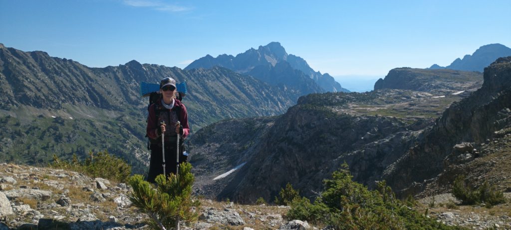
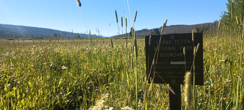
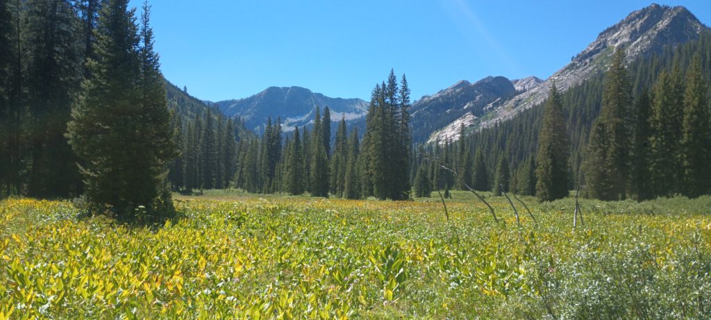
We left Flagg ranch and the Snake river to begin our climb into Grand Teton NP. I love starting at a river and climbing up to glaciers! The feeling of grass gradually turning into trees and the trees to alpine meadows, the gradual thinning of the air, and the cool wind at the top are indescribable. This was also the last five days of our own route. Eventually we would be back to the official CDT and all of its wealth of guide information. We’ve been flying solo for a while.
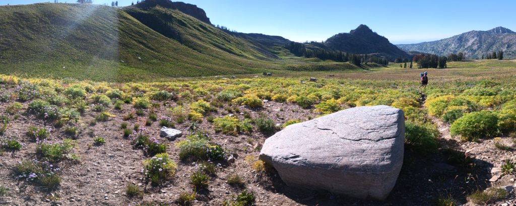
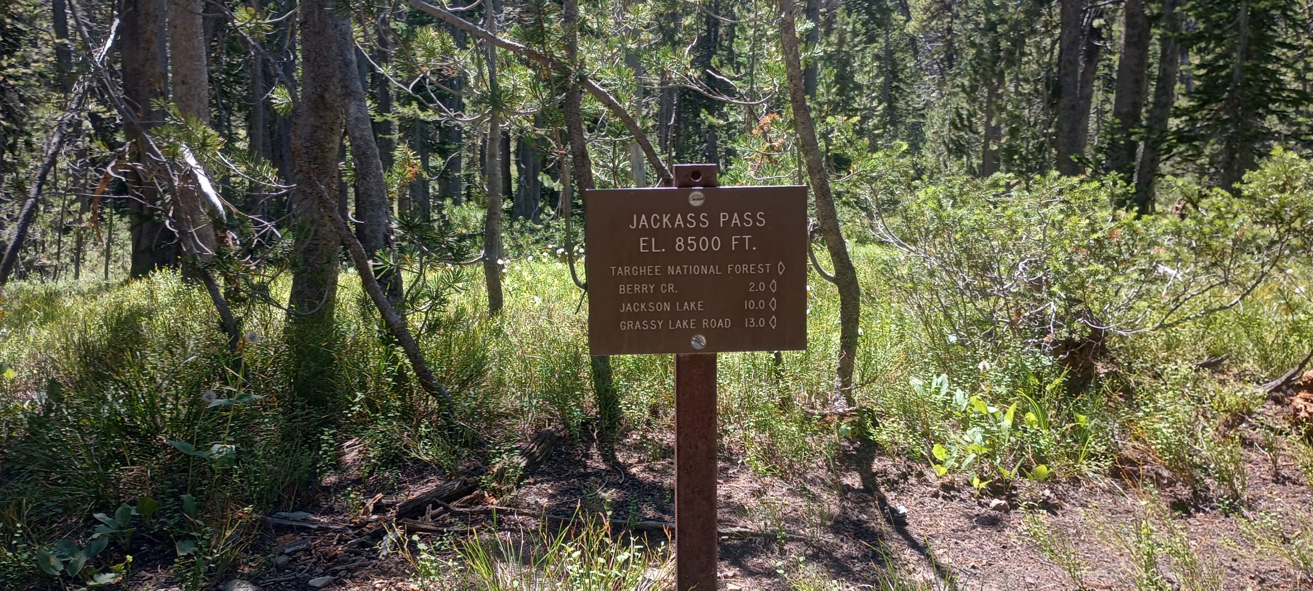
The hiking was easy-going aside from the high grass of the river valley. As we crested Jackass Pass we decided to take a long lunch since we didn’t have many miles to travel before we reached a flat spot on the map where we might camp. We dried our gear and took a long rest.
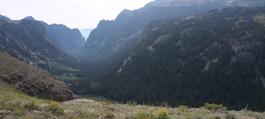
Soon after we left the pass and descended to Grizzly Creek the trail disappeared. We were in Jedediah Smith Wilderness and apparently on a little-used section of the Teton Crest North Trail. This trail is in wilderness, does not connect to the Teton Crest South Trail, and doesn’t have the maintenance budget of a national park, so we expected it to be rough. But we did expect it to be THERE! We would have to navigate by map and GPS alone. The soil caved below every step as we bushwhacked for miles through mountainside meadows and over ridges to make our way toward Nord Pass. Later we found another hiker describe this route online as “summer postholing” and damn they were correct. Somewhere along the way I hurt my primary metatarsal and this was killing it. We reached the valley before Nord Pass and luckily found a slightly level lumpy site in the trees. I took a shotload of ibuprofen and Tylenol and called it a day.
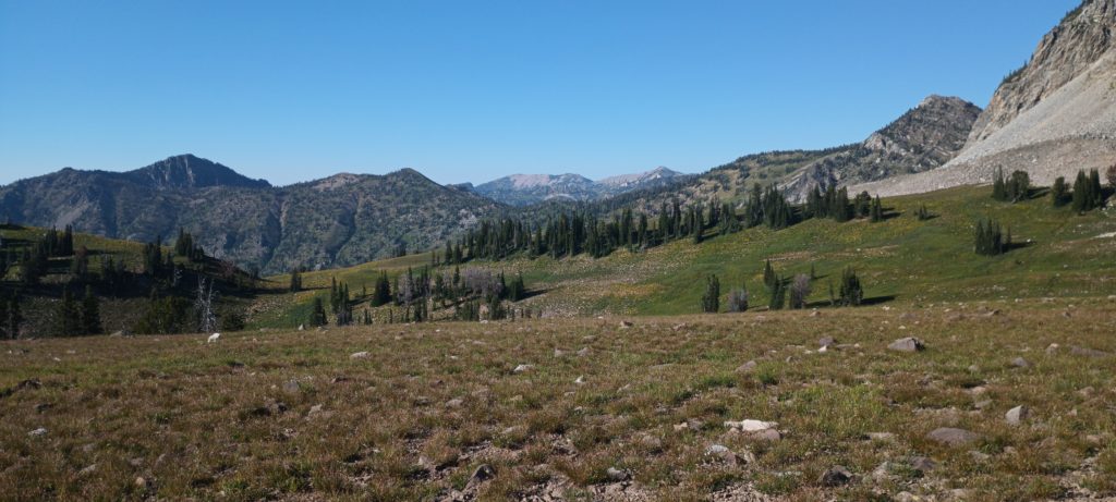
Luckily, the trail became apparent as we hiked into the next morning. We must have reached a junction somewhere where a more popular route joined the North Crest trail. Dead Horse Pass was coming next and would be a helluva steep climb. And it was. They named this pass appropriately.
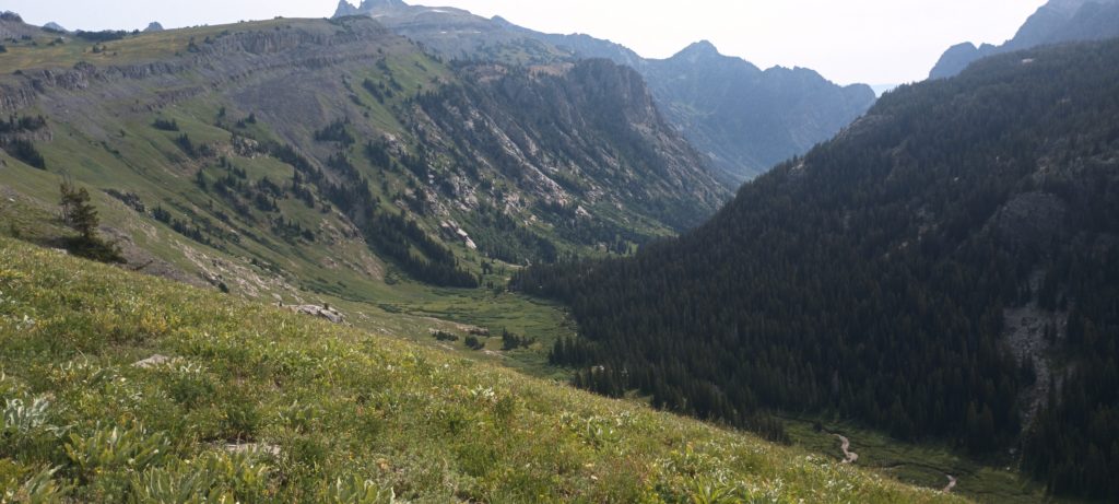
We reached the top and sat for lunch to admire the view. The trail was quite good now and we had faith it would continue to be so. This route was just passes and valleys and we could see exactly where we crossed the last mountain. Cool AF!
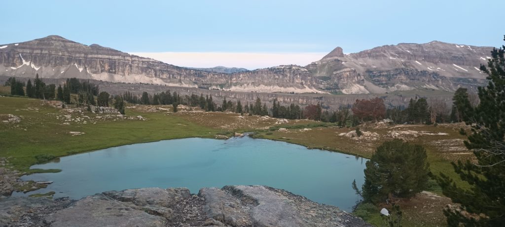
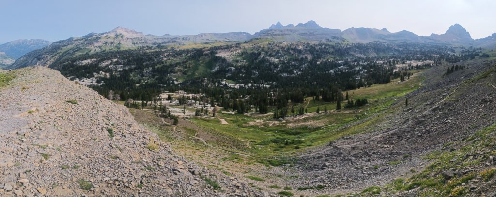
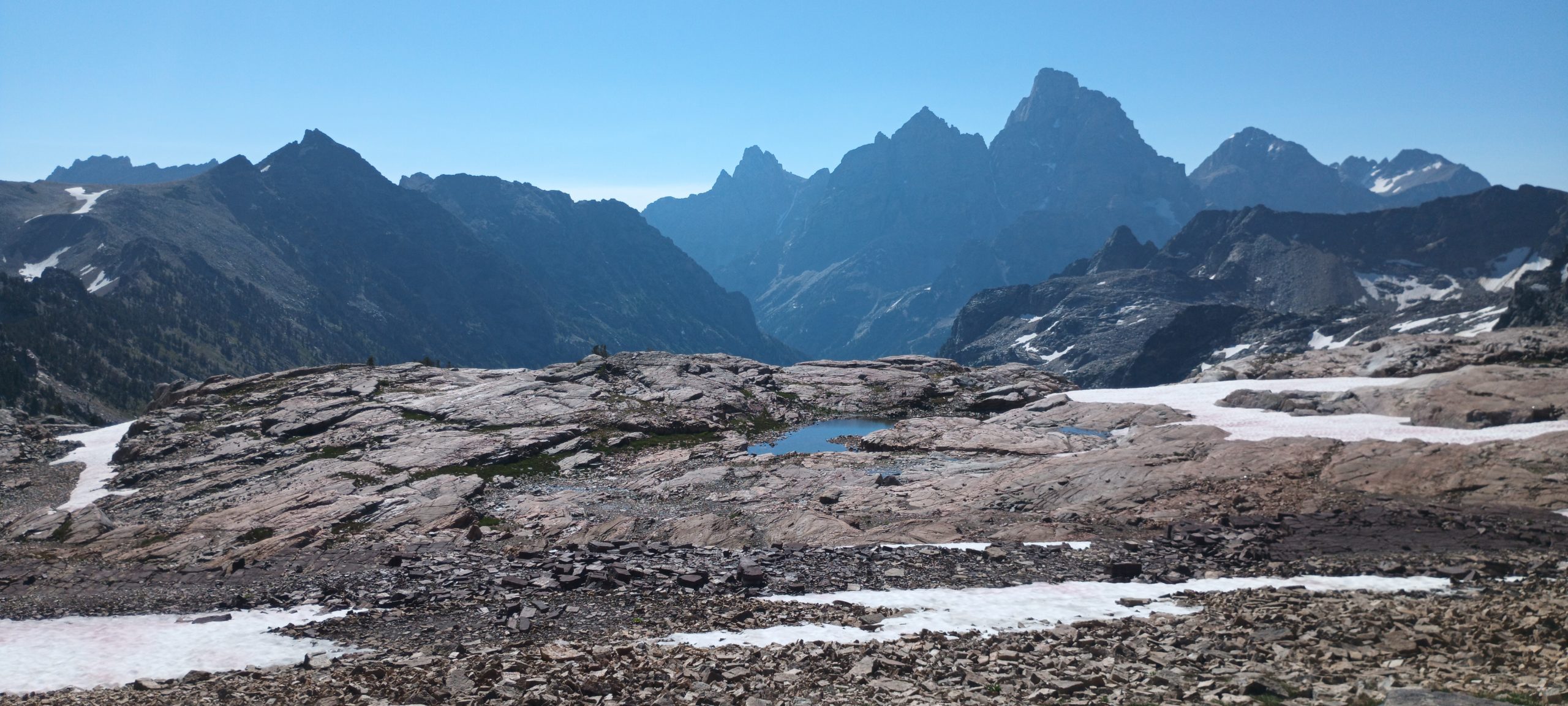
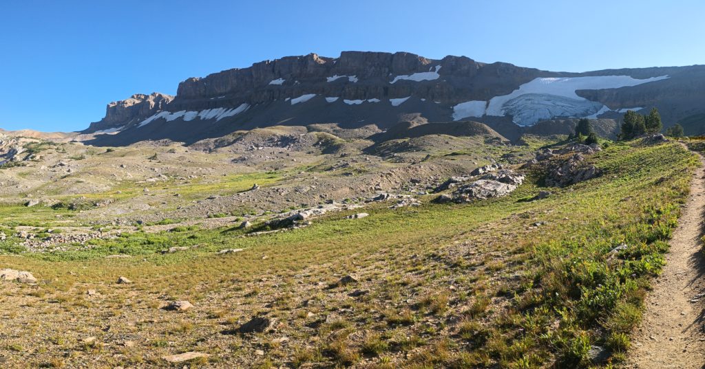
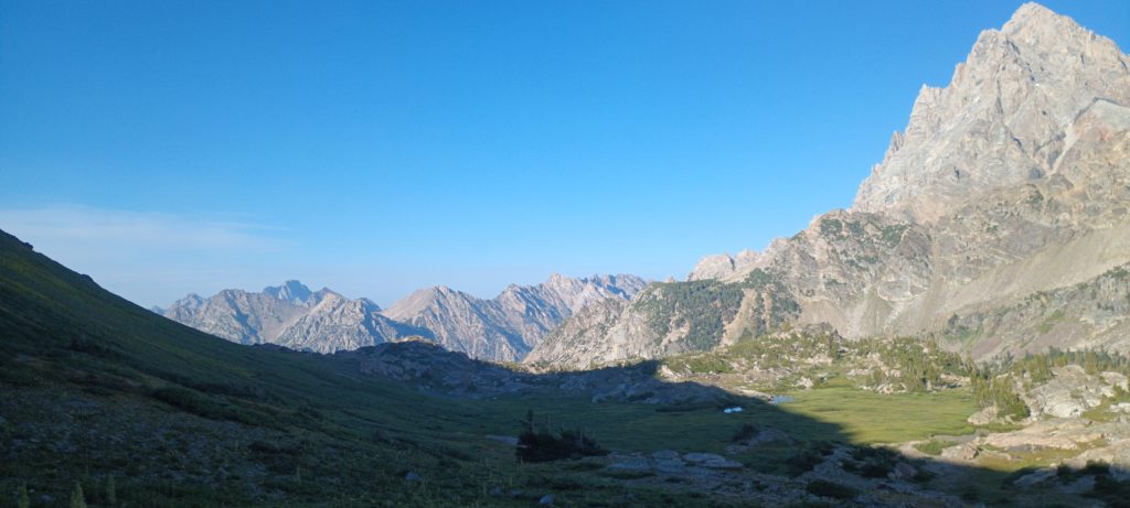
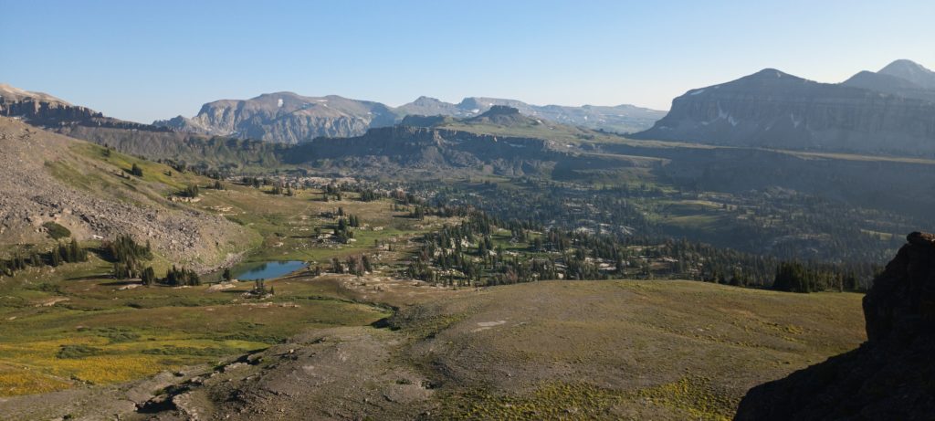
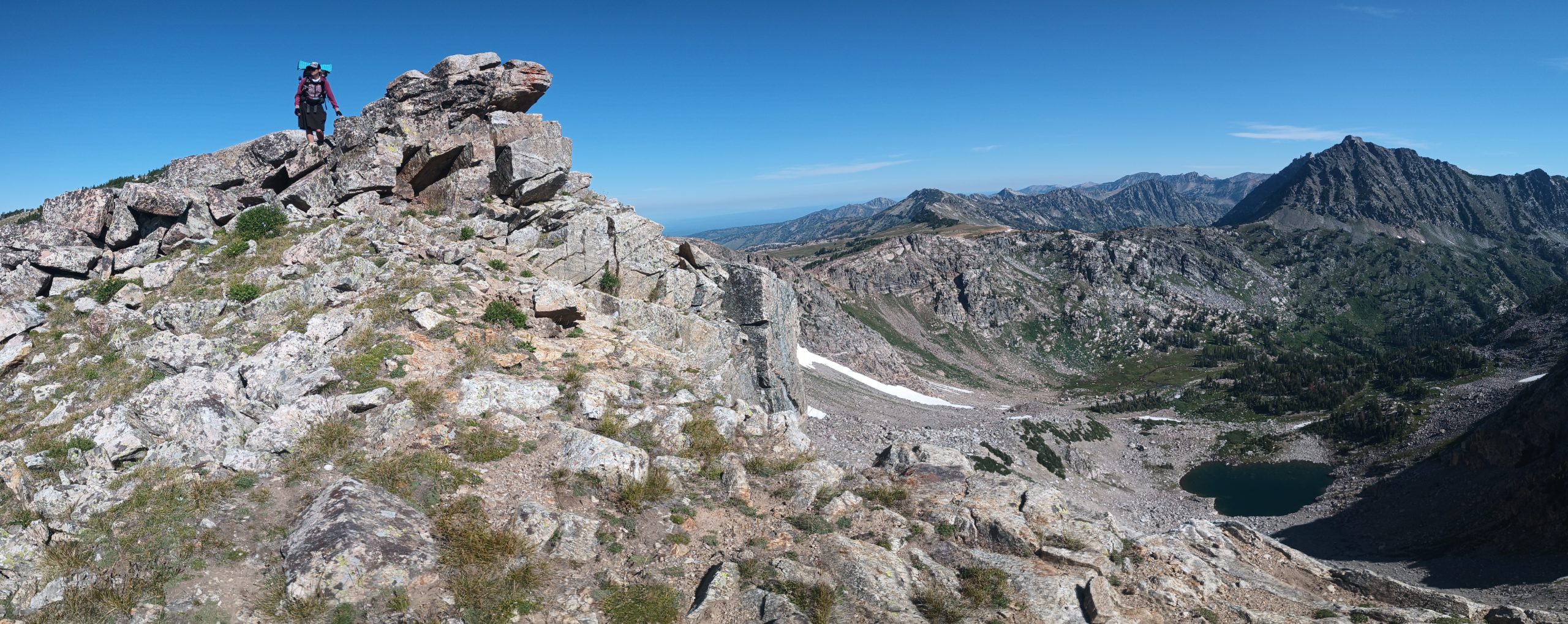
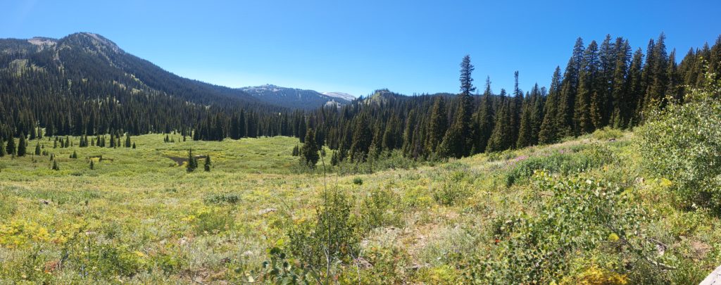
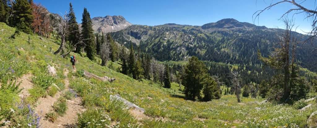
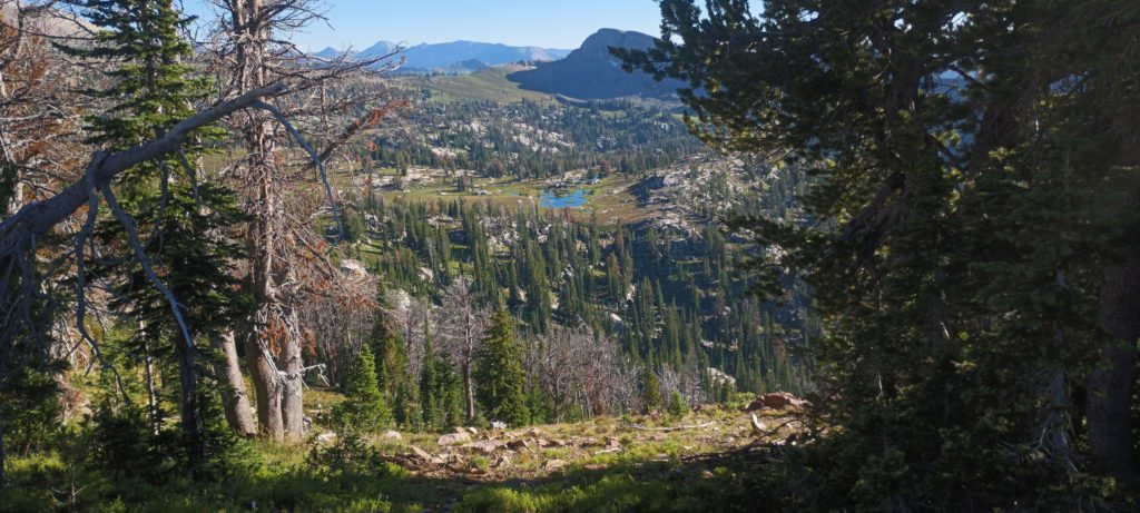
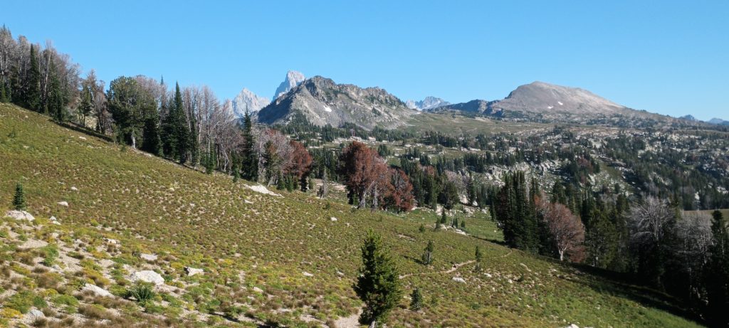
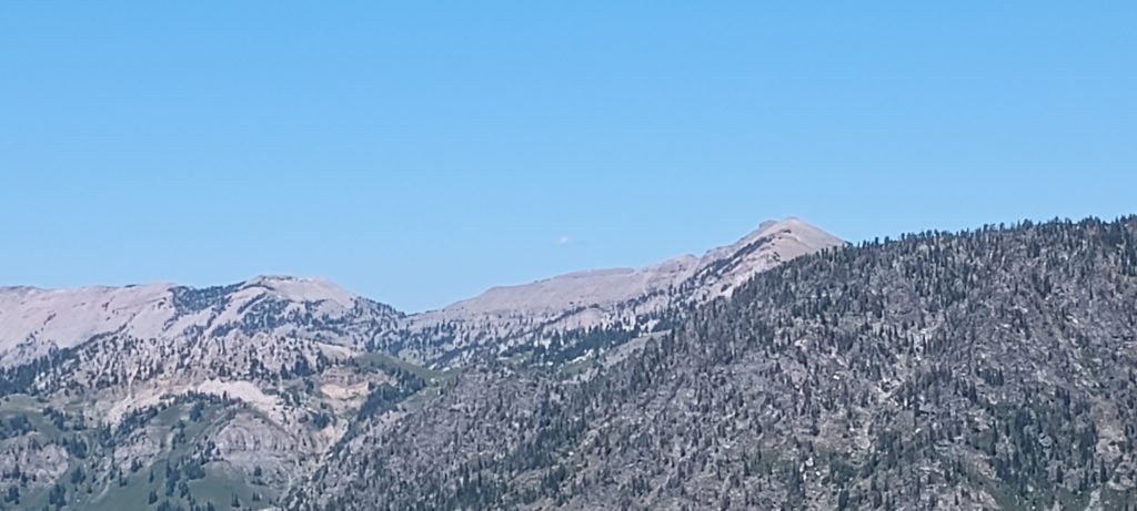
Passes are so damn rewarding! Just over the top of each one is another incredible view. We descended into the valley and made our way to an unnamed pass beside Green Lakes Mountain. We were pretty sure there would be camping up there. We crested the pass and an enormous alpine valley full of streams and lakes spread out before us! The Crest of Grand Teton peeked over the horizon and Littles Peak was visible for the first time (far right in the photo).
Looking behind us we could see both passes we climbed earlier, almost perfectly aligned to the north.
Someone with a team of horses was camped just along the western side. We descended and made our way past the horses grazing in the shade (and one having the best time rolling in the dust!)
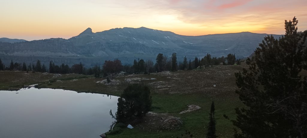
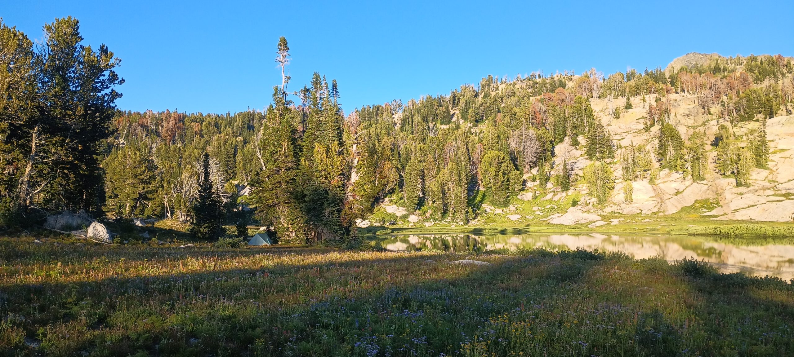
We found a perfect flat camp near the southernmost lake with a view of Littles Peak. We would leave the trail to bushwack over that peak in the morning in search of a route to Lake solitude within the national park in the morning. For now, we were still in the wilderness and perfectly allowed to camp and rest. This route was starting to look promising, but so much ahead was still unknown.