Alright, thunderstorms and flood watches are in the forecast. We’re supposed to hike an exposed ridge up a mountain tomorrow and a river for the following two days. This is no longer a good idea. We hitched a ride with a wildlife biologist studying wolves in the park and made it to Gardiner. Thank you Taylor! The highway was NOT walkable in the rain and fog, so you bailed us out on this one. Guess we have to lay low for a minute.
Into Yellowstone
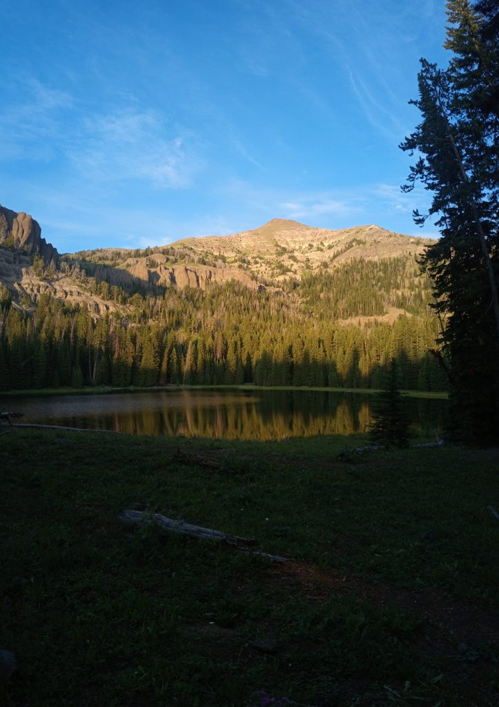
Five miles of highway and many more of slowly climbing meadow trails finally got us to the shade of the forest. The day began overcast and misty, but by the time we reached the trees the sun was beating down. Getting out of Big Sky to Ramshorn Lake was only around a 15 mile day and we were grateful for the lower mileage. Reaching the alpine lake meant a good climb, but we made it with hours of light to spare while we found camp and prepared dinner. A few other campers were fishing when we arrived but by sunset we had the lake shore to ourselves. Our tent pitch was also duffy, dry, and the flattest we had in quite a while. This was a good day to get back on the trail.
We took our time leaving the lake in the morning and watched the mist dance across the water. We ate breakfast and casually identified bird calls (Merlin on Android is a fantastic app, btw) while critters scurried around the fallen trees near the meadow. This evening would be our first night in Yellowstone and since camping is by permit, our mileage this day was short and inflexible. Most of the trail would straddle the northern Yellowstone border along an often steep ridge.

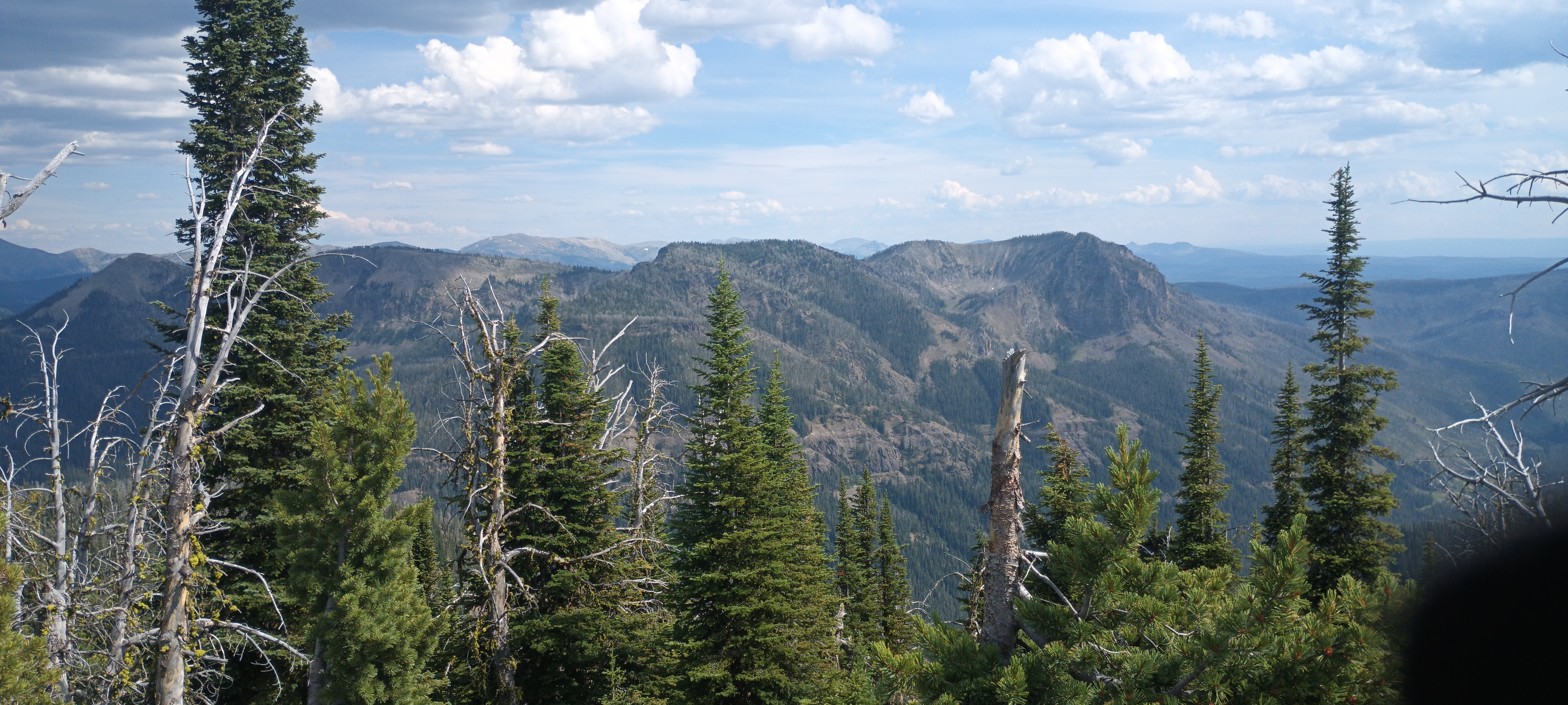
The weather was warm but cooperative and the views wonderful. Far to the south and 80 miles away we could glimpse the Tetons on the horizon. We camped by Crescent Lake and headed further into northwest Yellowstone under gray skies the next morning.
This is where the photos mainly end. If you’re unfamiliar with Yellowstone, look up “pouring rain” and you’ll see what we did. By the afternoon the rain began to fall. And it didn’t stop. As we approached the biggest climb of the day–a pass at 9,800 ft along Sportsman Lake Trail– a thunderstorm just skirted us to the south and the rain and wind got even worse. Barely keeping footing on the gray clay mud, we made it over the pass and began our descent to Upper Gardner River and camp. We only had 8 rainy miles to hike into civilization and hopefully score some hot breakfast and coffee. Thank God.
Although the forecast called for 10 days of rain, the early morning only saw sprinkles after we packed camp and left. Trail miles into a town in the morning always fly by and the increasing rain was barely noticed. As we rounded a corner, suddenly a pair of day-hikers appeared on the trail and asked us if we passed any hot springs. I confusedly said no and they promptly disappeared. Momentarily we turned another corner and white, ashy sand stretched out before us among the trees and we caught the strong odor of sulfur.
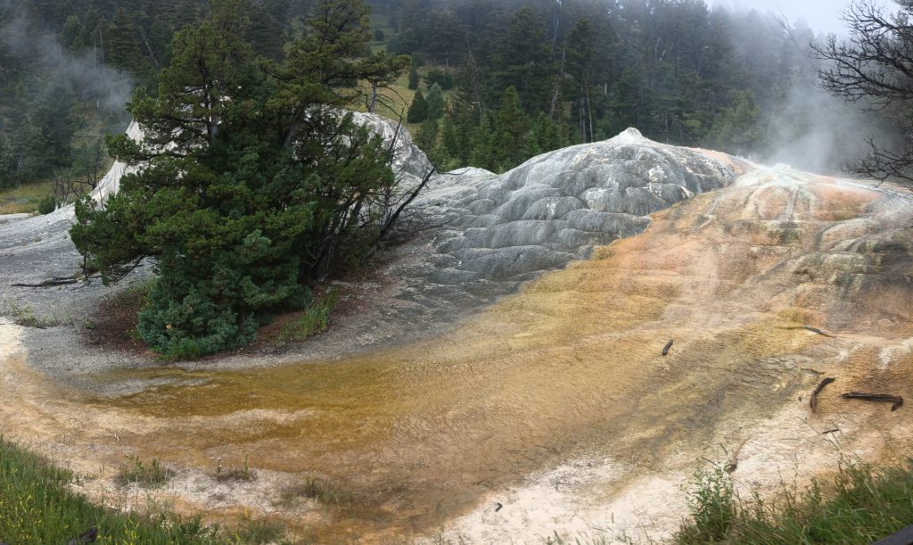
Crisscrossing the dune-like rocky hills we’re footpaths leading to steaming and boiling cracks in the ground. I love hiking blindly into new landscapes. These hot springs took us completely by surprise. Further along the trail we reached the first of many volcanic springs and thermal features before finally seeing huge ash-white and rust-orange terraces, below our trail and encircled by boardwalks. And buildings. So many buildings and cars. And people everywhere. This was the park village of Mammoth.
Here comes the weather…
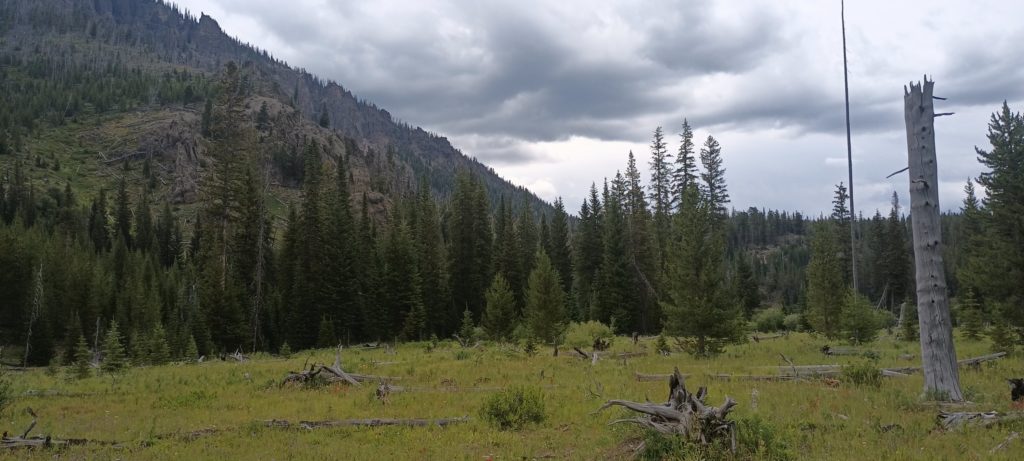
The forecast calls for rain everyday for about 10 days. I think it’s going to start soon.
Yellowstone, Grand Teton, and more…
We did the planning, got the permits, mailed the boxes, and did all of the other chores. God, that took forever, but we did it. We forged our own route through Yellowstone NP and Grand Teton NP! This is basically the route, folks. We had to plan 16 hiking days in advance for this stretch, so let’s hope everything goes according to plan!
Backpack 2.0
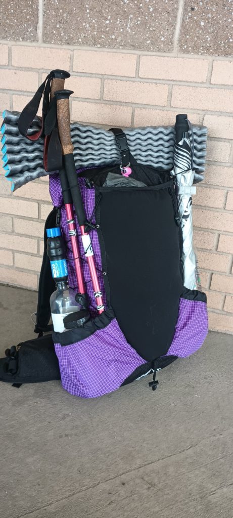
I had to walk across a city to get it, but here’s my next ULA Ohm. The one I’m retiring (for now) has waaay over 3,000 miles on it, and the shoulder strap padding is almost paper thin and failing. Hope this helps my shoulder pain!
Spanish Peaks – Ennis to Big Sky
Tobacco Root Mountains – Whitehall to Ennis
Big Sky Alternate part 2
This is our rough draft of the second leg to Big Sky and eventually Yellowstone. Woohoo!
Almost got chased out of camp by a herd of cows…
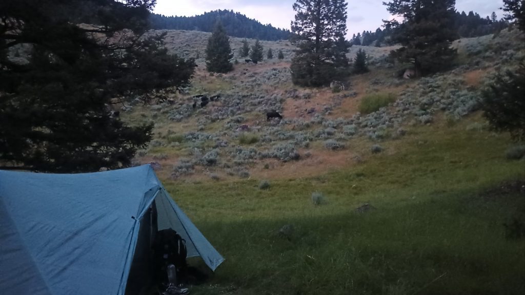
We got the tent pitched, started making dinner, and here comes the herd tramping through our little meadow valley. I had to take down the tent but stand my ground and keep two bulls and a herd away from the only flat spot around. It’s Saturday and the weekenders have all the sites. They’re in the hills across from us making all sorts of noisy moos right now. We won. We pitched our tent again.
Ok shit. They came back. I had to give em some “Heya… Git!” And some hand claps. Got them turned away again. This is what victory looks like.
Starting the Big Sky Alternate
So we’re going to do it. We are taking the Big Sky cut off and heading straight for Yellowstone. We are not sure if we are going in via Mammoth or West Yellowstone, but we are pretty sure we have a route through Grand Teton National Park! We will figure out how to reconnect with the CDT south of the Tetons but before the Winds. This is exciting as f***!! Above (in red) is the first part of our route on the way to Big Sky.
