I am incredibly happy we took this route!!
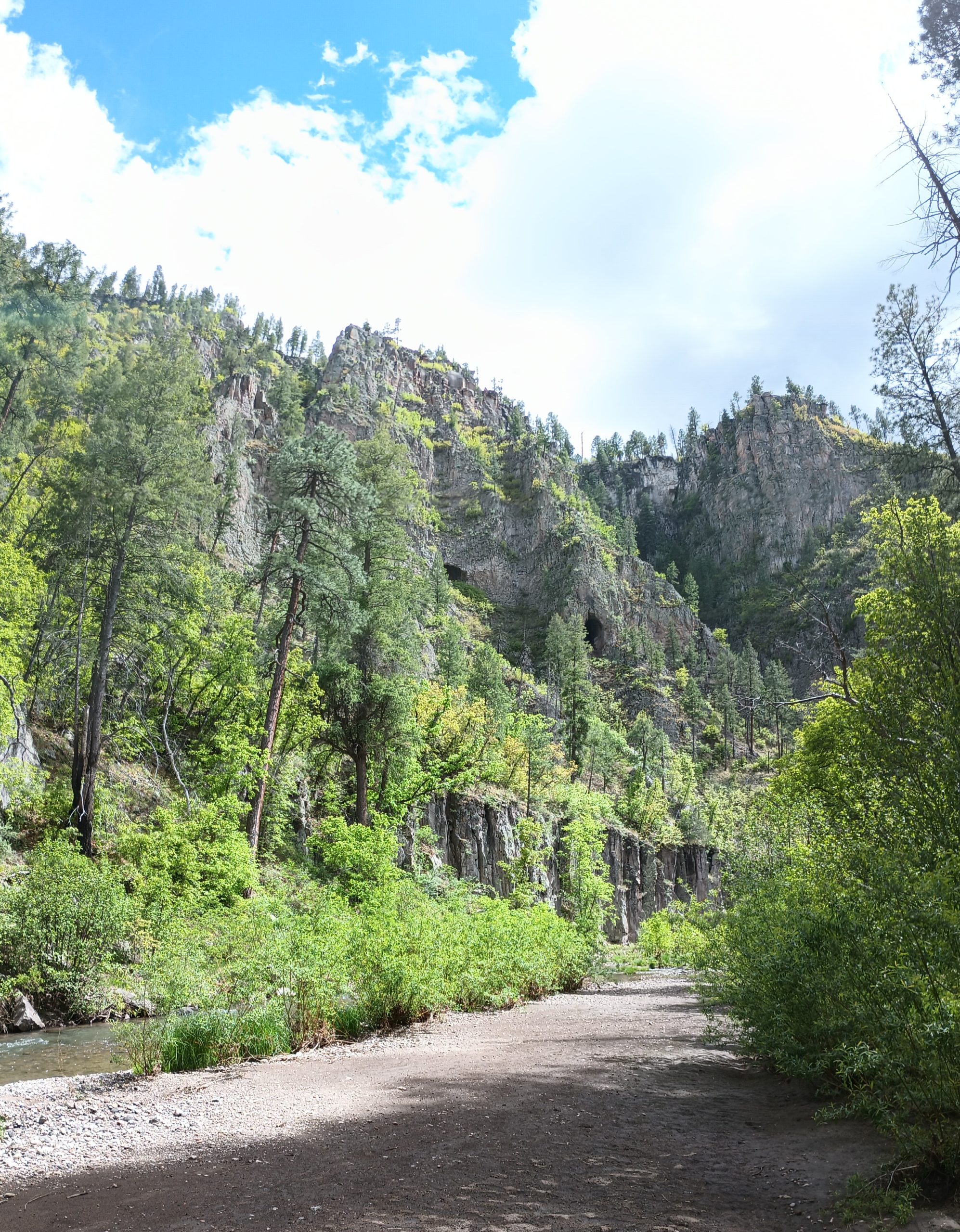
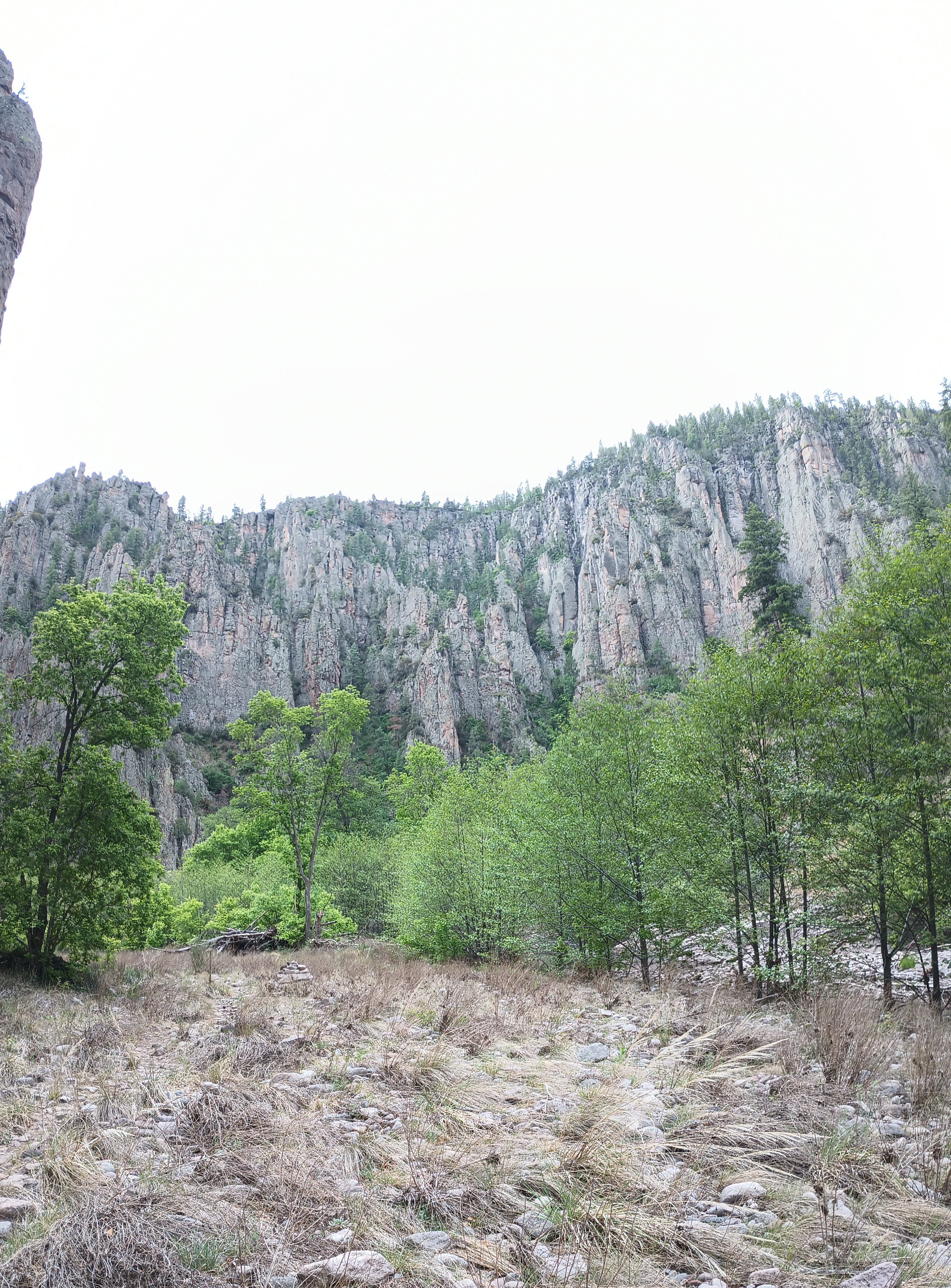
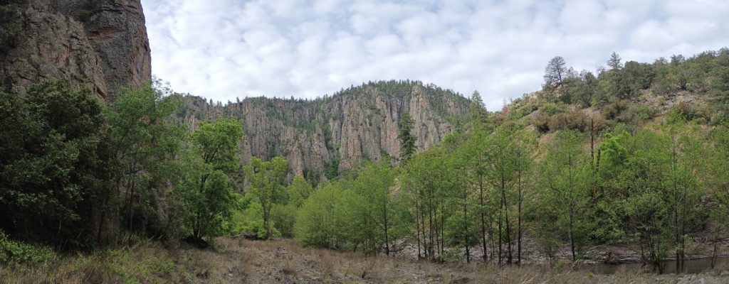
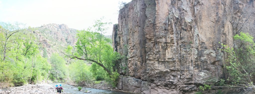
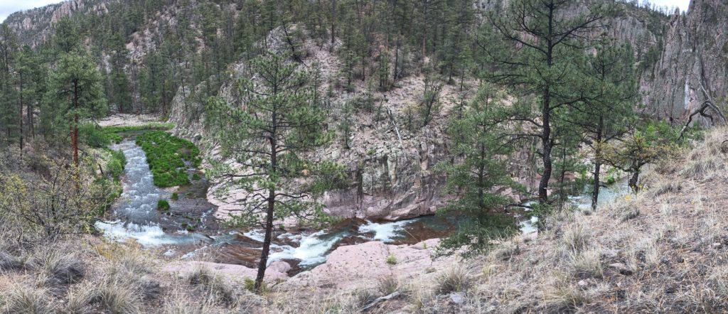
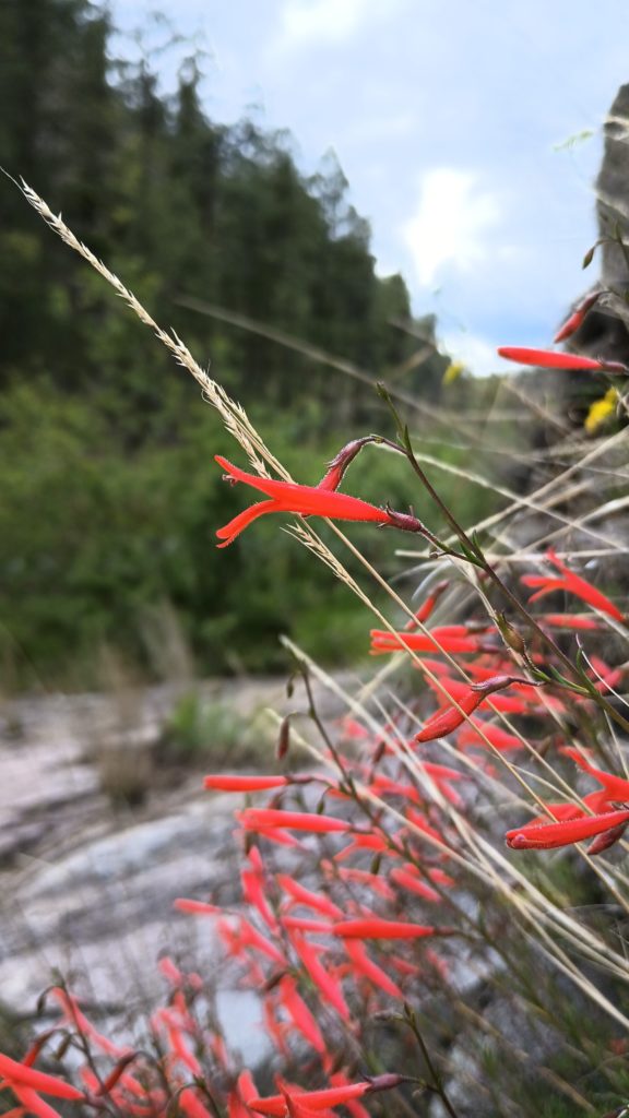
I didn’t know beforehand, but the Gila Cliff Dwellings caldera and the Bursum caldera are responsible for the basin of the upper Gila river. These two supervolcanoes erupted some 30 million years ago, and the evacuation of magma caused a massive void into which the overlying material collapsed and formed these two calderas. Due to this, the cliffs cut by the middle fork are not composed of the same rock I’m accustomed to seeing along rivers. It’s often very basaltic, sulfurous, and not at all sedimentary. The history explains the hot springs found along the river too. This place is beautiful!
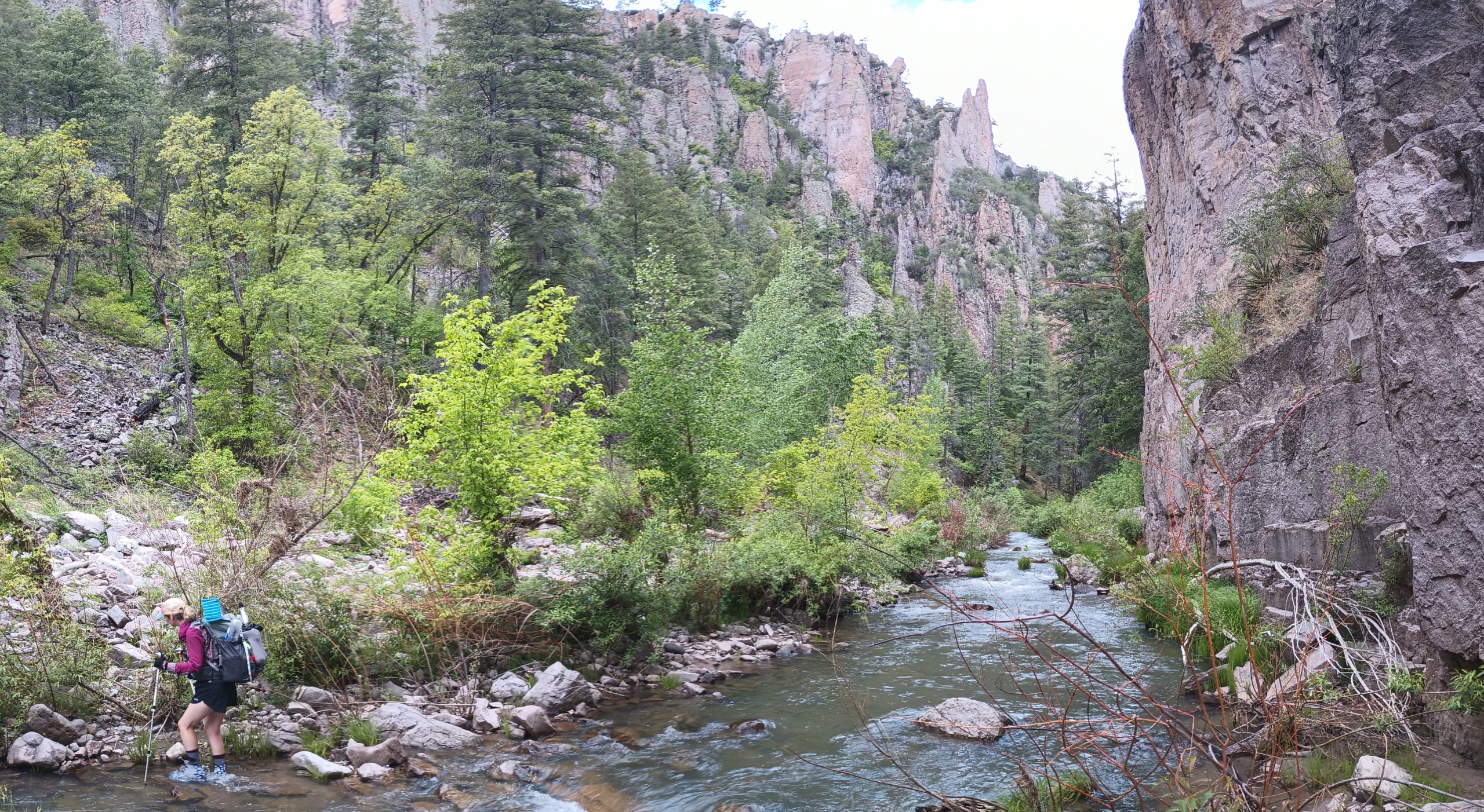
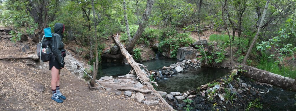
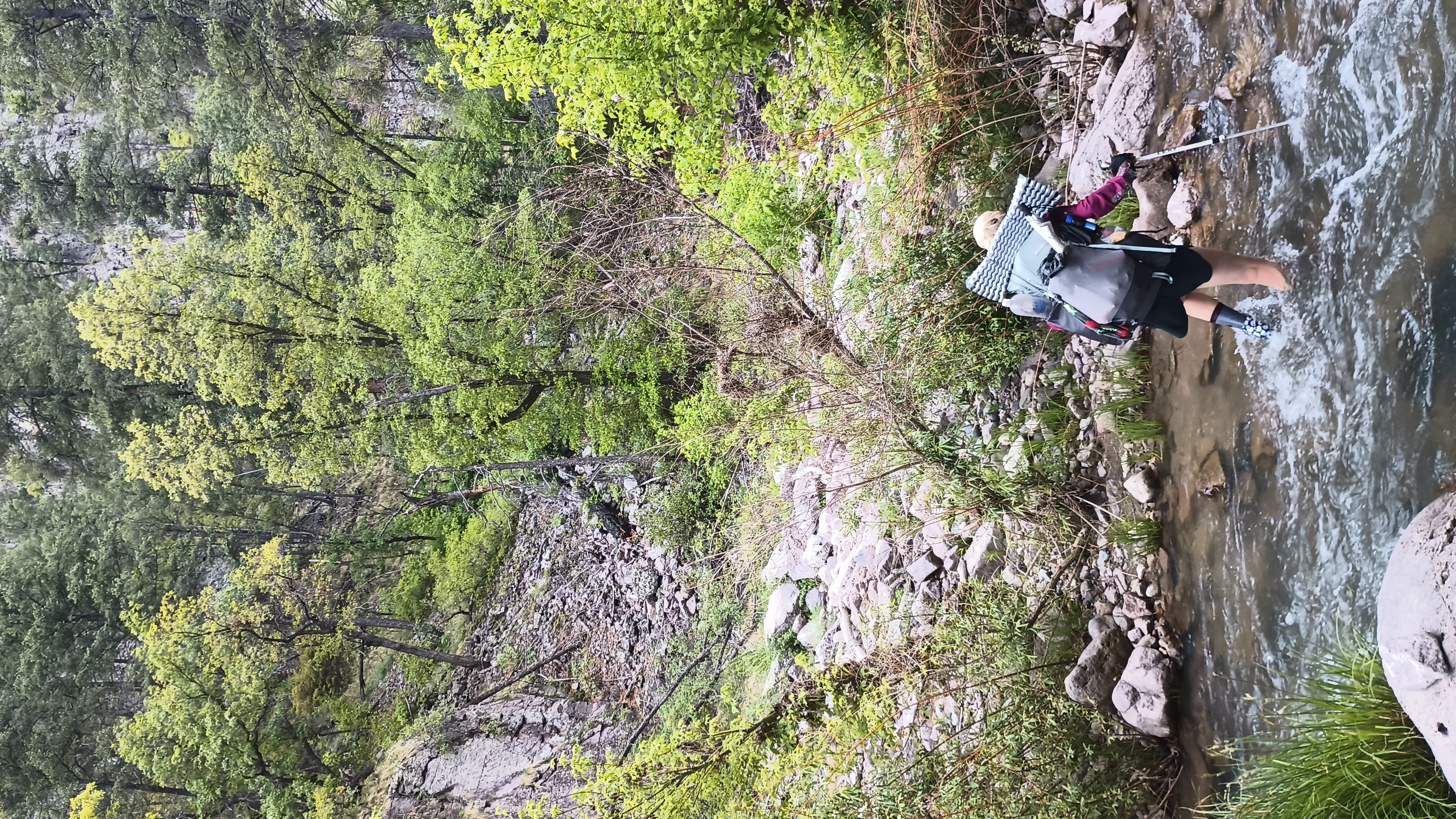
While hiking the Gila River and its middle fork upstream, we crossed the river a total of 187 times. Over one hundred river crossings were made in one day alone. And yes, rattlesnakes live here too as Kylie found out.
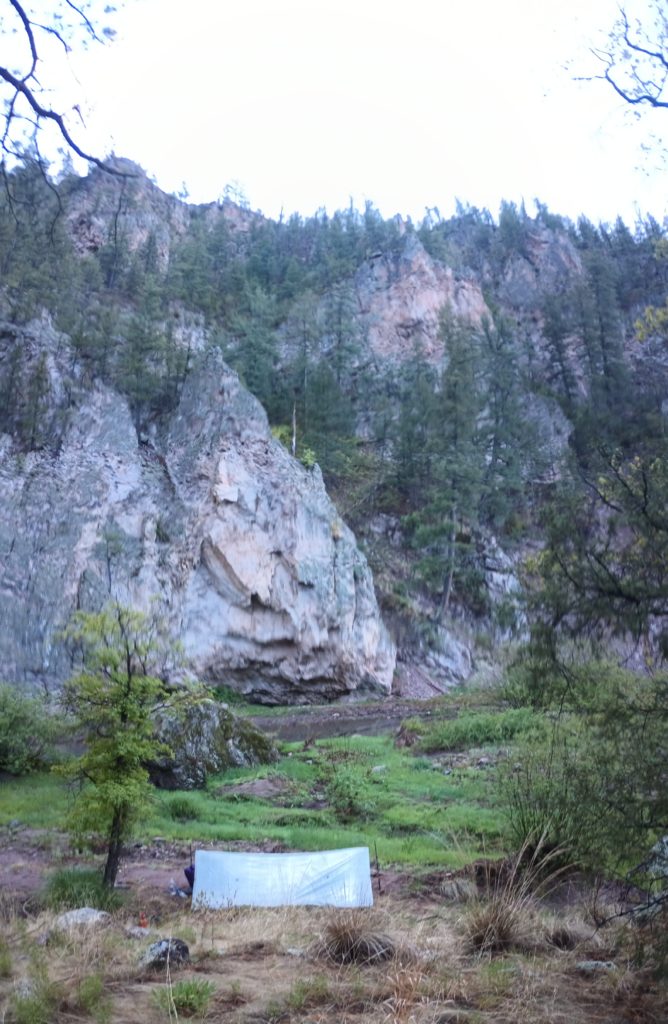
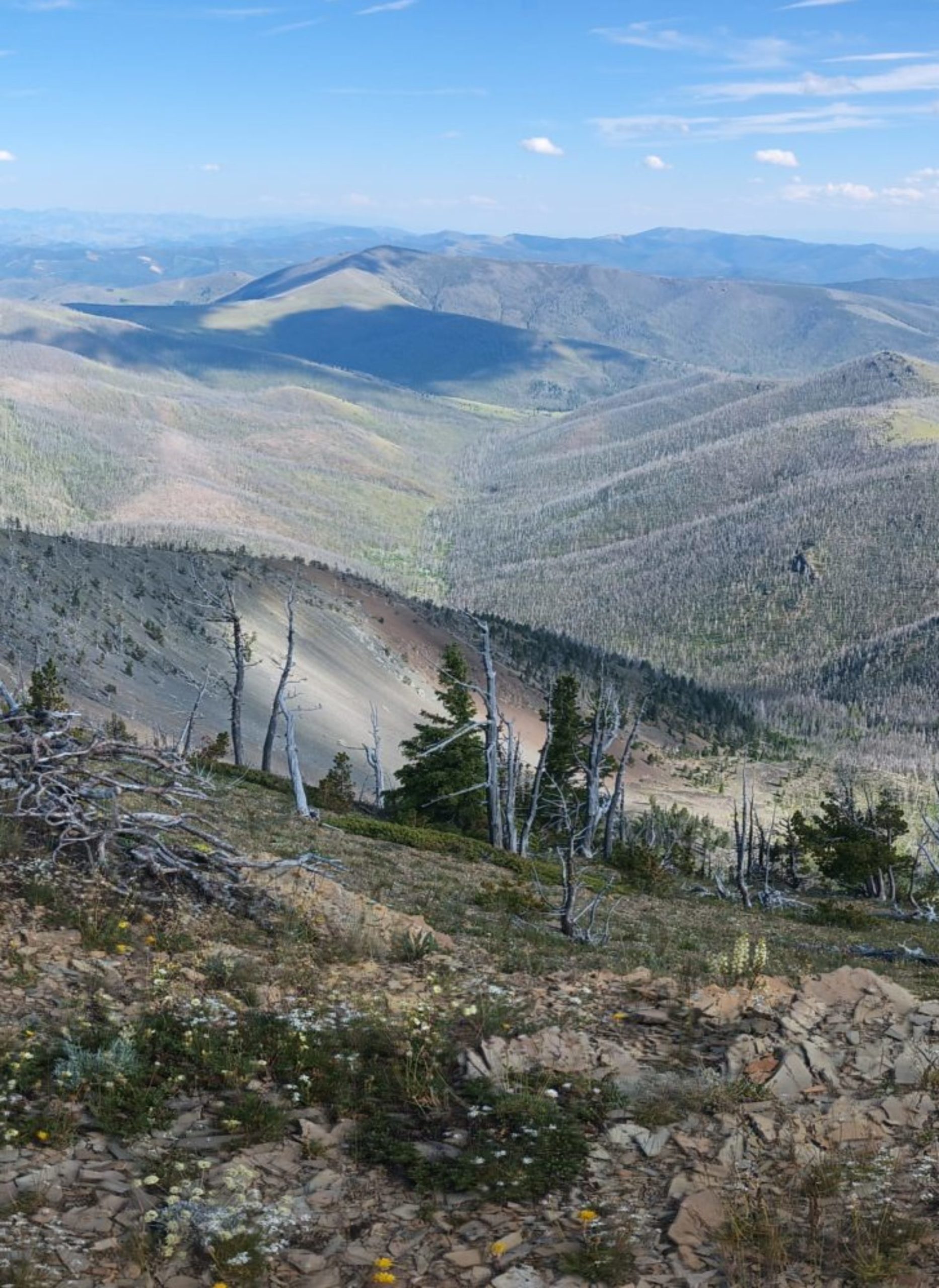
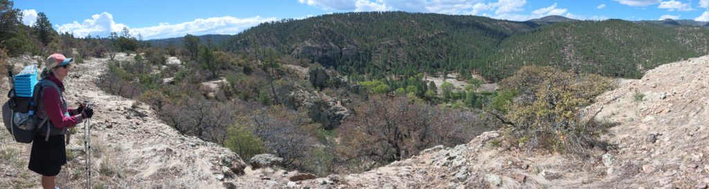
We camped across from cliffs actively crumbling into the river below, waking me once with a massive crash and plunk into the water. Tired of wet, sandy shoes and the constant trail finding, we headed up to the high route after several days in the canyon. As tough as the hiking was, it was nice to not carry water. In all we started this section with a slim 6 days of food.

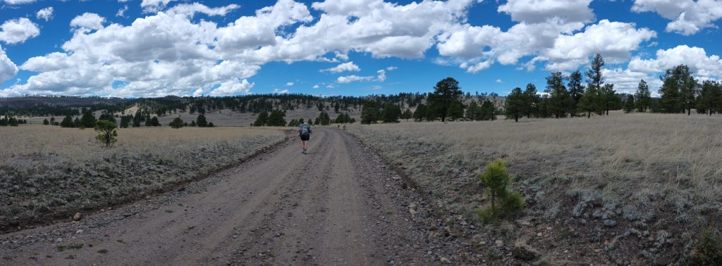
By the time we reached Aeroplane Mesa, we had begun to ration our food bags a little bit. The river hiking was a slow 1.5 mph and we were running just a little low. Chased by storms we hurried across the grazing ranges in the highlands and into the national forest again for shelter from the weather. We crossed through a cattle gate and into the woods, passing the bleached bones of the cattle who wandered away and never made it back to the range. As we ate dinner and tucked into our beds, Mexican wolves sang out in the night.