We woke early, packed camp, and got moving. This was going to be a long morning. It would take what it takes.
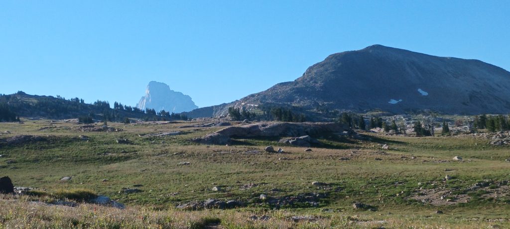
We only had about 1.7 miles to hike before we left the trail completely and started hiking over the alpine terrain. The vegetation at this elevation was short, not intrusive, and interwoven with rock slabs so navigation here would be the easy part. Grand Teton came into view again, but this time was going to stay as we moved higher and closer to the heart of the mountain range.
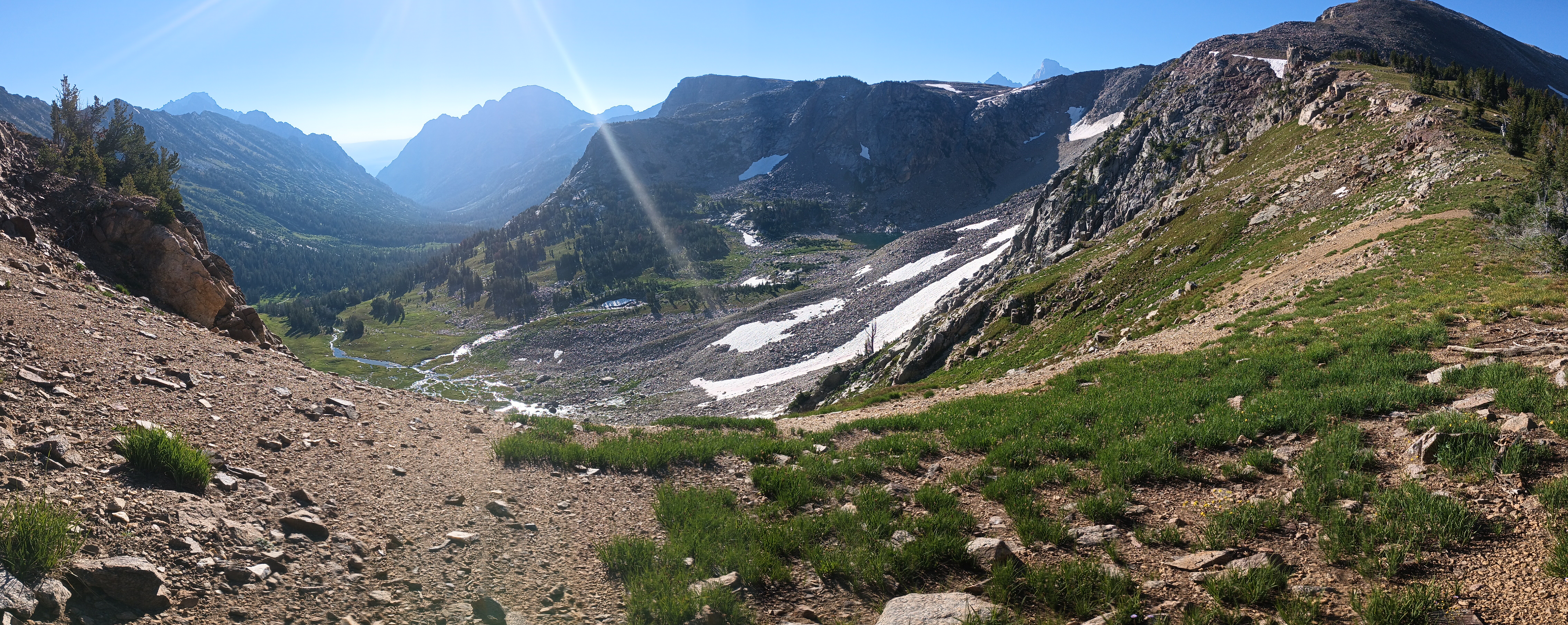
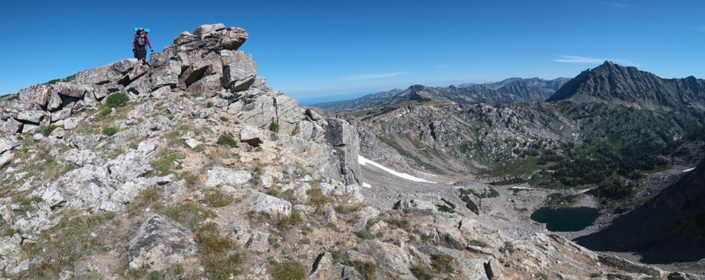
Along the ascent we decided to crest a ridge with views into a huge valley with no trails or people. It’s rewarding to know that not many people get this view without working for it!
Onward around the gentle side of Littles Peak, the meadows began to give way to steep gravel and soil with slides of large rock. Eventually we reached the narrow ridge we would have to cross by climbing over the two boulder piles balanced on top. The valleys to either side of the ridge we’re again pristine and without trails.
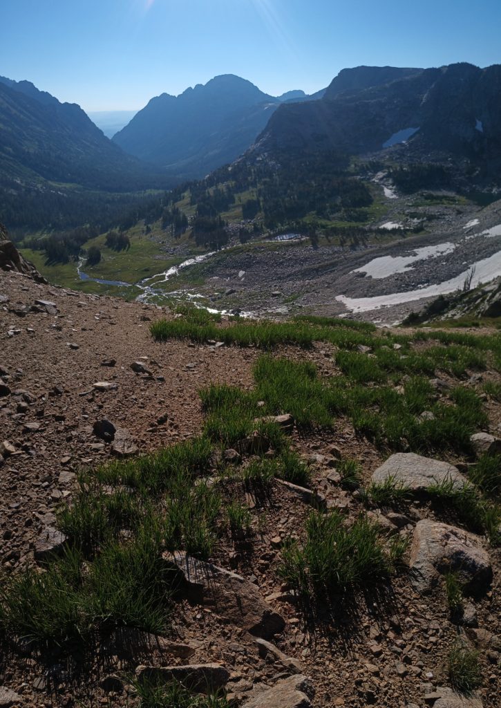
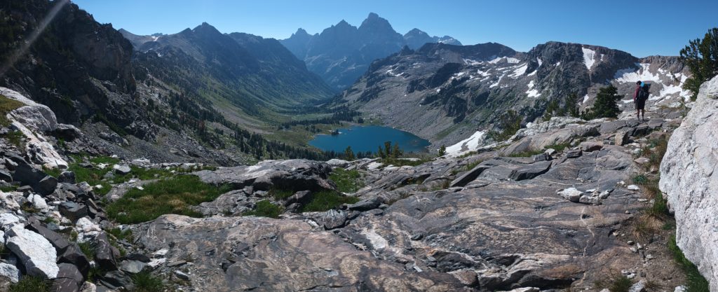
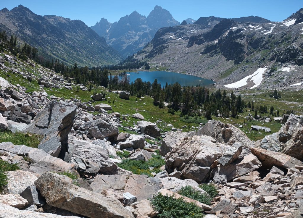
Once we reached the snow fields and bare bedrock on the other side the real work began. We had to find a route down a steep glacial Cirque and descend from 10,400 ft down to 9,060 ft in about half of a mile. We began down a promising depression in the terrain and the travel soon turned to climbing as the route was over talus and boulders. We could identify the few cliffs to avoid as these were rimmed with trees and flattened before they dropped vertically. Moving slowly and carefully, I scouted ahead for waterfalls along the drainage before calling Rattle to follow.
We backtracked a few times to reroute and correct. We reached one of two converging grassy lanes slick with moisture but fortunately littered with rocks for footing. This was the most intensive part of the descent and we took our time. After reaching the talus again and more careful routing, the terrain gradually eased and we were almost able to descend upright instead of scrambling on our hands and feet. Eventually we were able to navigate the last .2 miles with trekking poles mostly in hand and reach an established trail. From camp to the shore of Lake Solitude took about 6 hours.
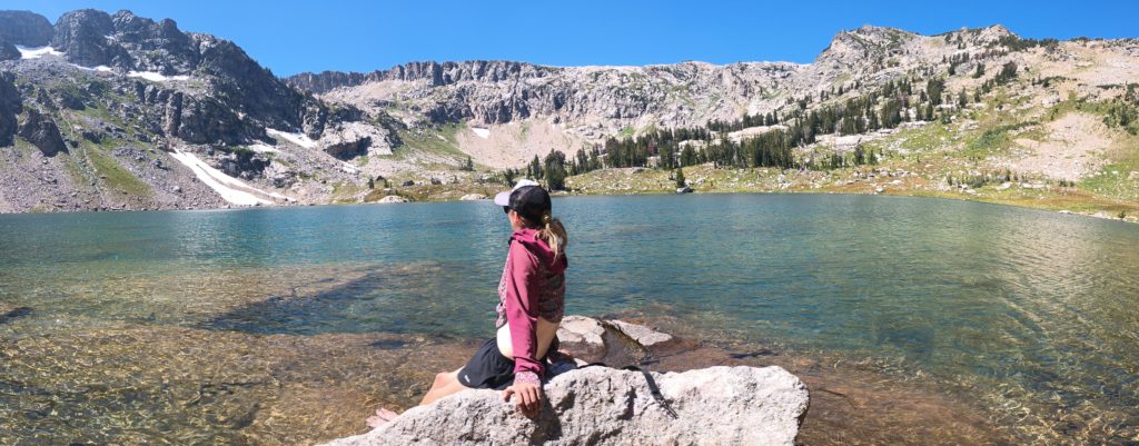
If there was a fair reward for our hard work, we found it. After a dip in the frigid lake we hiked beautiful, well groomed NP trails down North Fork Cascade Canyon and up South Fork Cascade Canyon all the way out of the park boundary to (aptly named) Sunset Lake. The trail was beautifully scenic and the climb to Hurricane Pass was a breeze compared to the day’s beginning. We were also completely high on accomplishment after completing the toughest part of our route away from the CDT. We camped in a popular area and ate dinner with fellow weekend backpackers as we watched the sunset from our camp on a cliff overlooking the alpine valley.

