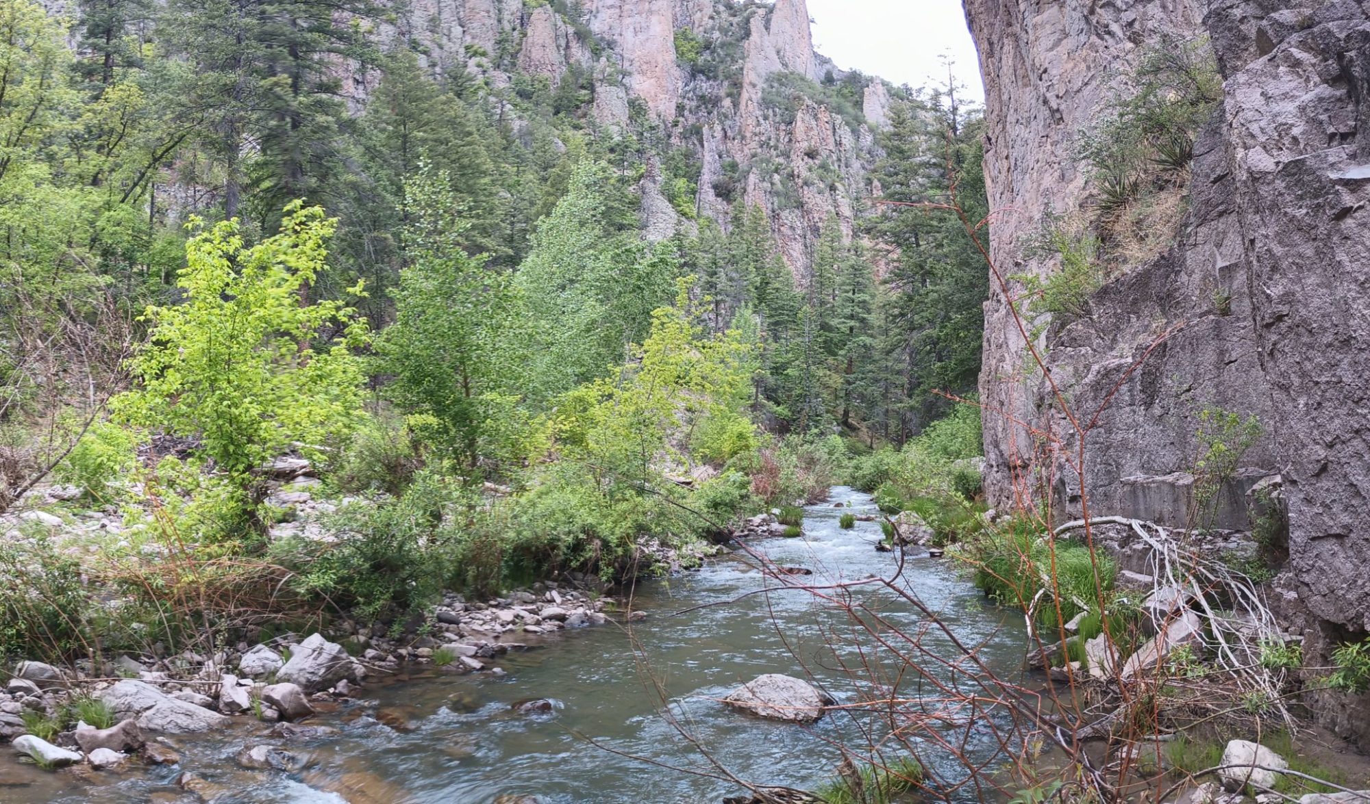
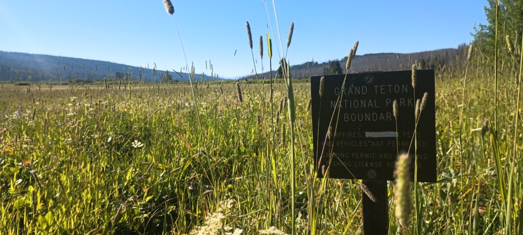


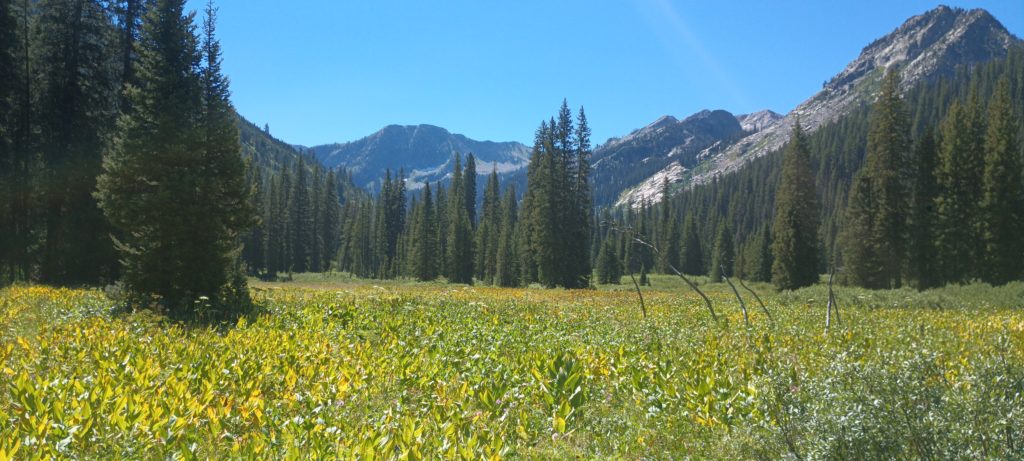


We left Flagg ranch and the Snake river to begin our climb into Grand Teton NP. I love starting at a river and climbing up to glaciers! The feeling of grass gradually turning into trees and the trees to alpine meadows, the gradual thinning of the air, and the cool wind at the top are indescribable. This was also the last five days of our own route. Eventually we would be back to the official CDT and all of its wealth of guide information. We’ve been flying solo for a while.
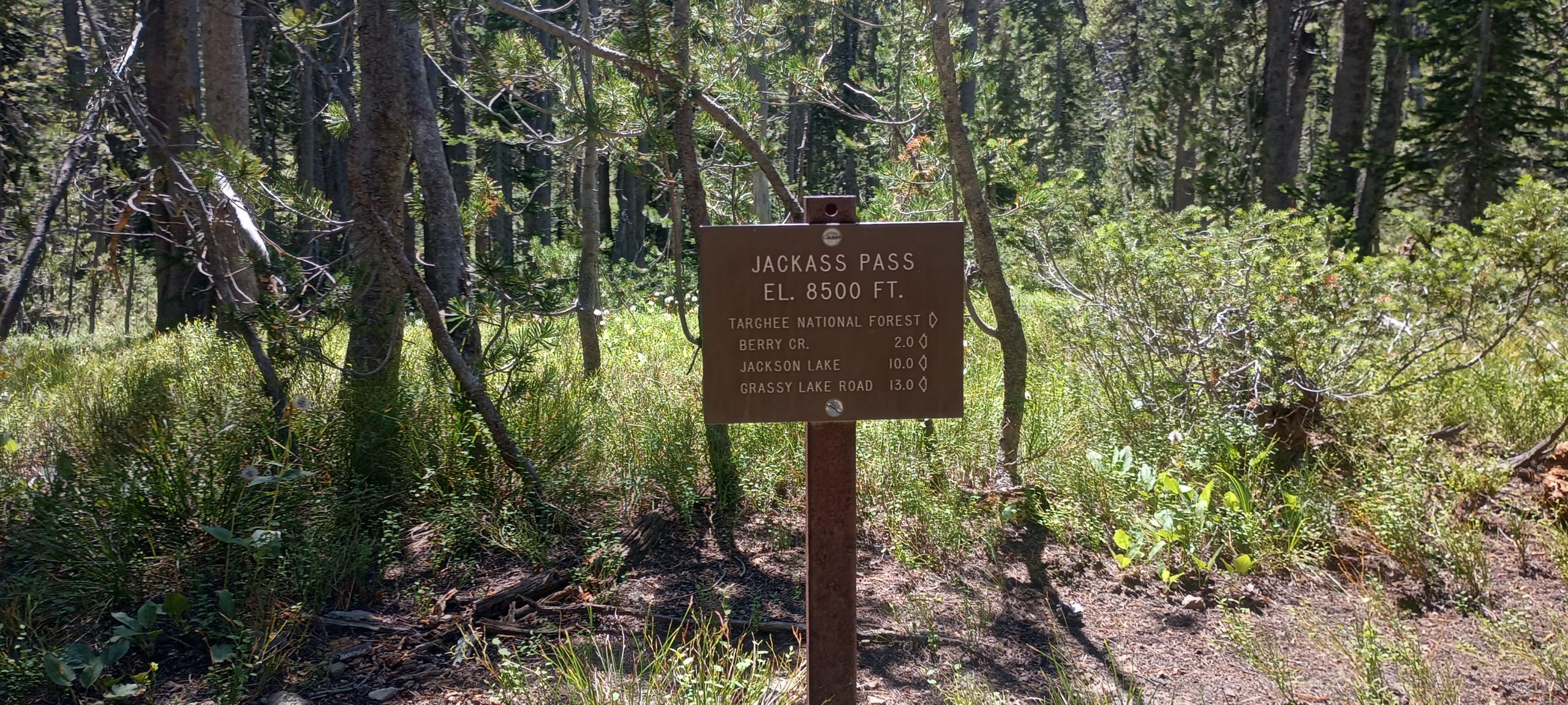
The hiking was easy-going aside from the high grass of the river valley. As we crested Jackass Pass we decided to take a long lunch since we didn’t have many miles to travel before we reached a flat spot on the map where we might camp. We dried our gear and took a long rest.

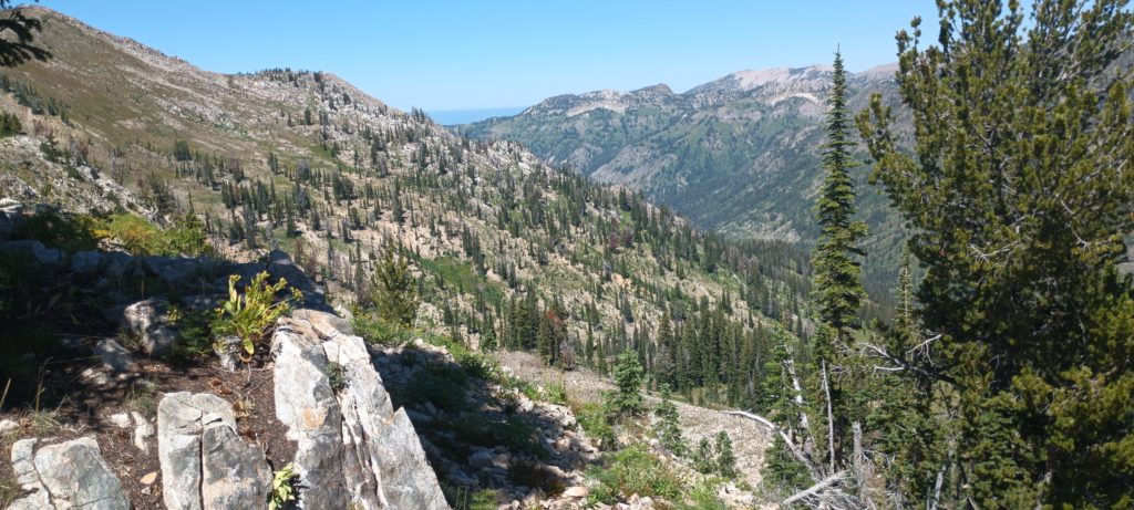
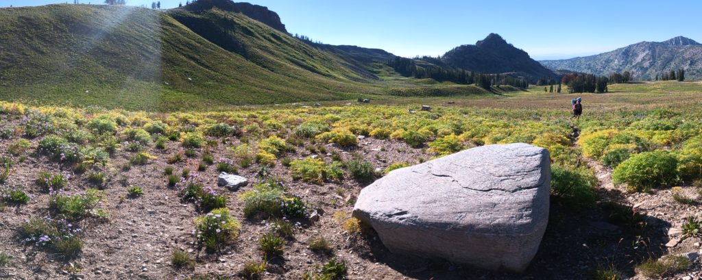
Soon after we left the pass and descended to Grizzly Creek the trail disappeared. We were in Jedediah Smith Wilderness and apparently on a little-used section of the Teton Crest North Trail. This trail is in wilderness, does not connect to the Teton Crest South Trail, and doesn’t have the maintenance budget of a national park, so we expected it to be rough. But we did expect it to be THERE! We would have to navigate by map and GPS alone. The soil caved below every step as we bushwhacked for miles through mountainside meadows and over ridges to make our way toward Nord Pass. Later we found another hiker describe this route online as “summer postholing” and damn they were correct. Somewhere along the way I hurt my primary metatarsal and this was killing it. We reached the valley before Nord Pass and luckily found a slightly level lumpy site in the trees. I took a shotload of ibuprofen and Tylenol and called it a day.
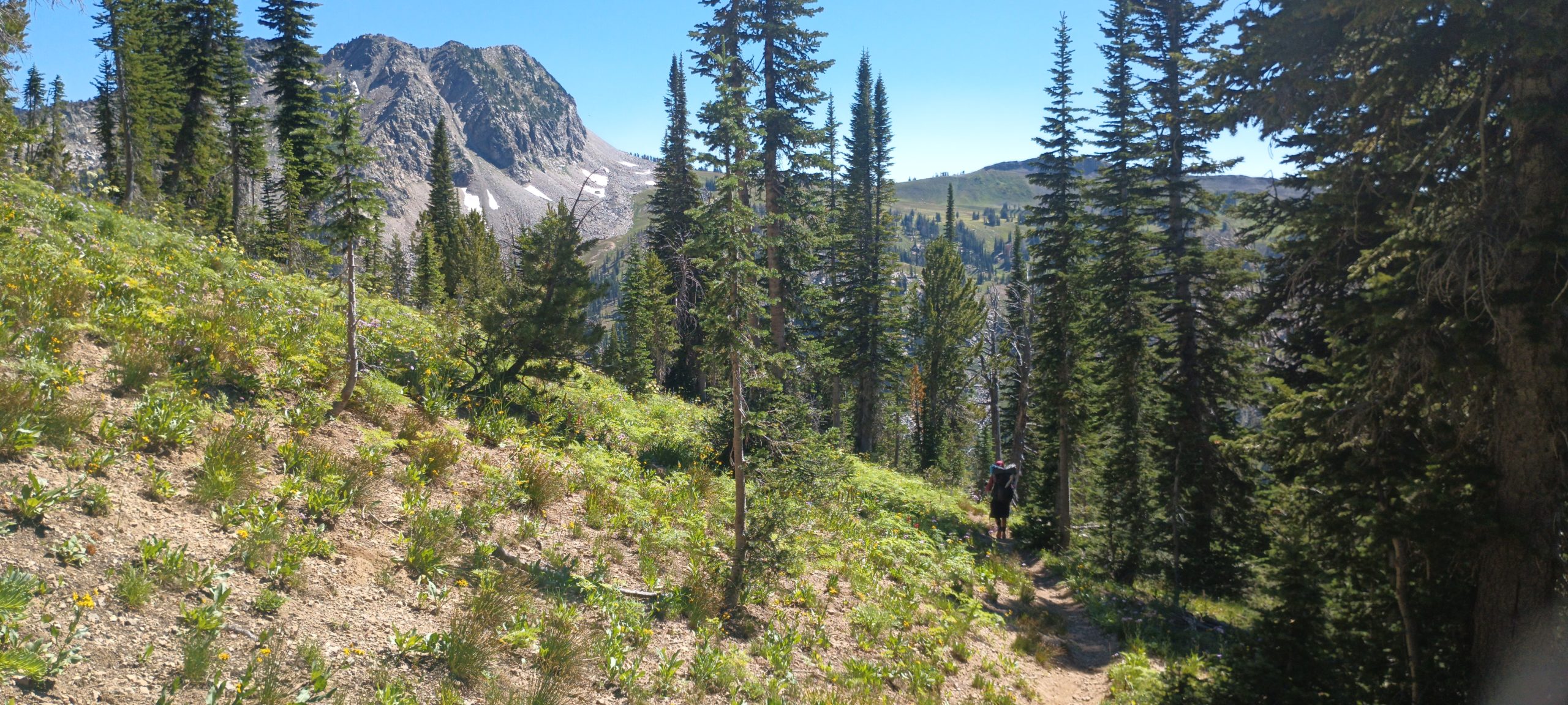
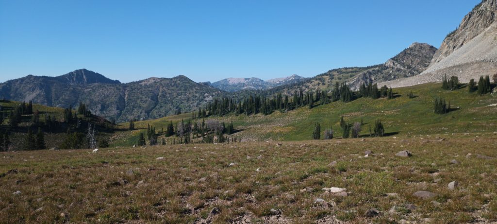
Luckily, the trail became apparent as we hiked into the next morning. We must have reached a junction somewhere where a more popular route joined the North Crest trail. Dead Horse Pass was coming next and would be a helluva steep climb. And it was. They named this pass appropriately.
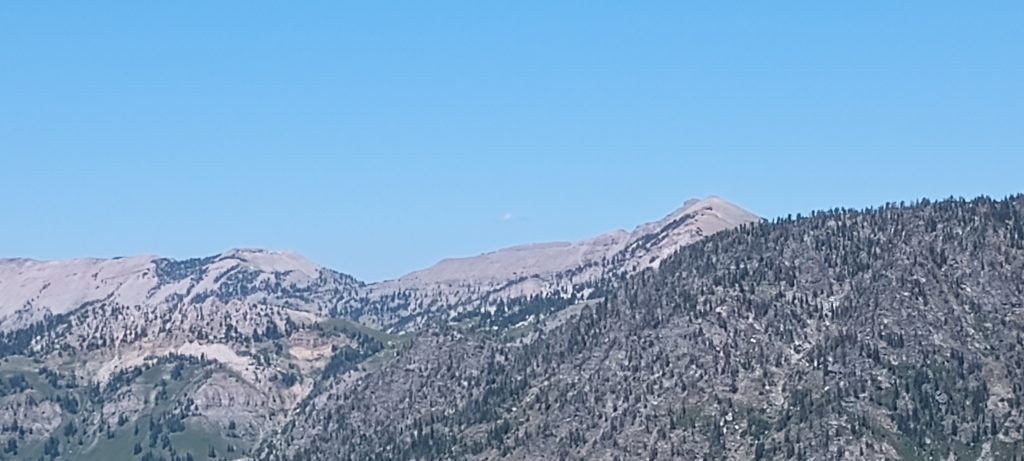
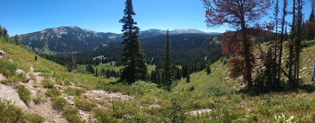
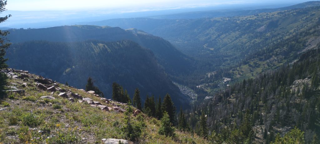
We reached the top and sat for lunch to admire the view. The trail was quite good now and we had faith it would continue to be so. This route was just passes and valleys and we could see exactly where we crossed the last mountain. Cool AF!

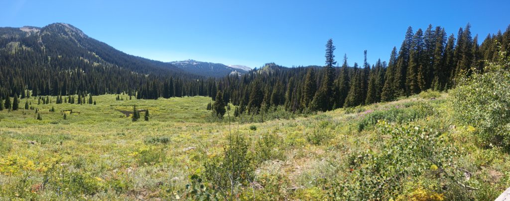
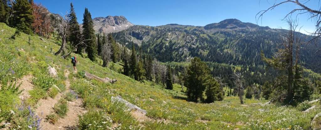
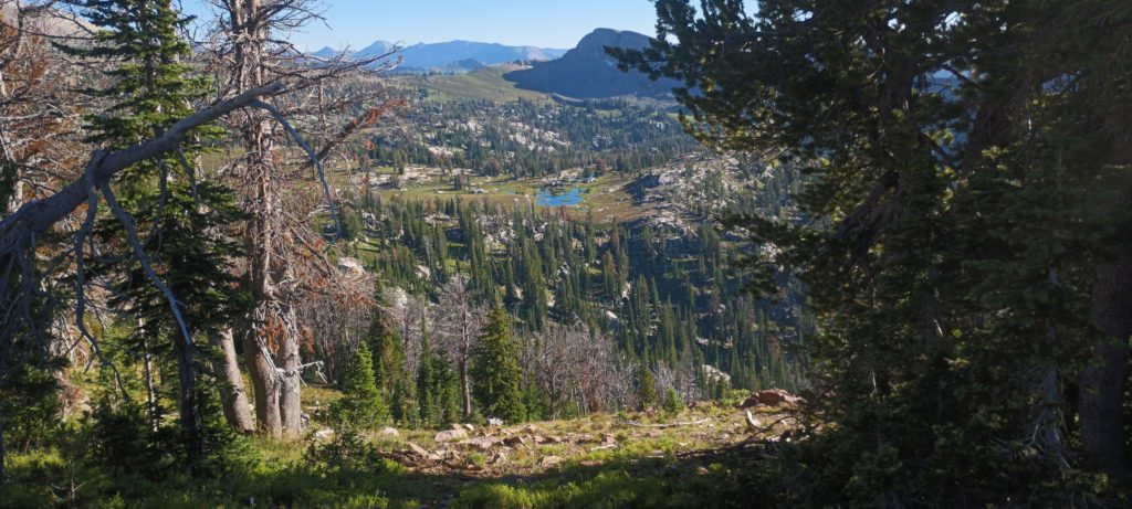
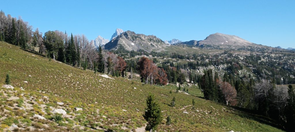
Passes are so damn rewarding! Just over the top of each one is another incredible view. We descended into the valley and made our way to an unnamed pass beside Green Lakes Mountain. We were pretty sure there would be camping up there. We crested the pass and an enormous alpine valley full of streams and lakes spread out before us! The Crest of Grand Teton peeked over the horizon and Littles Peak was visible for the first time (far right in the photo).
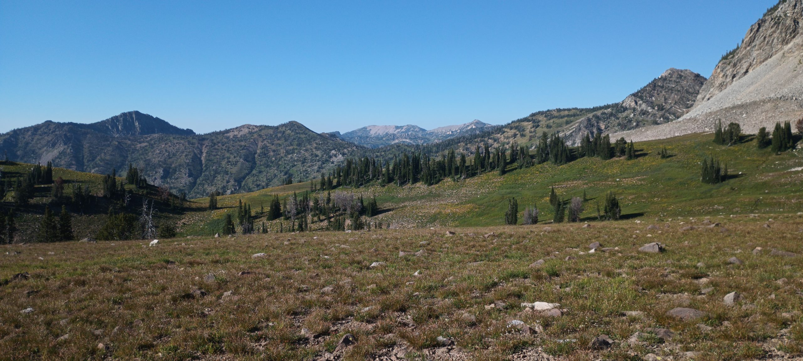
Looking behind us we could see both passes we climbed earlier, almost perfectly aligned to the north.
Someone with a team of horses was camped just along the western side. We descended and made our way past the horses grazing in the shade (and one having the best time rolling in the dust!)
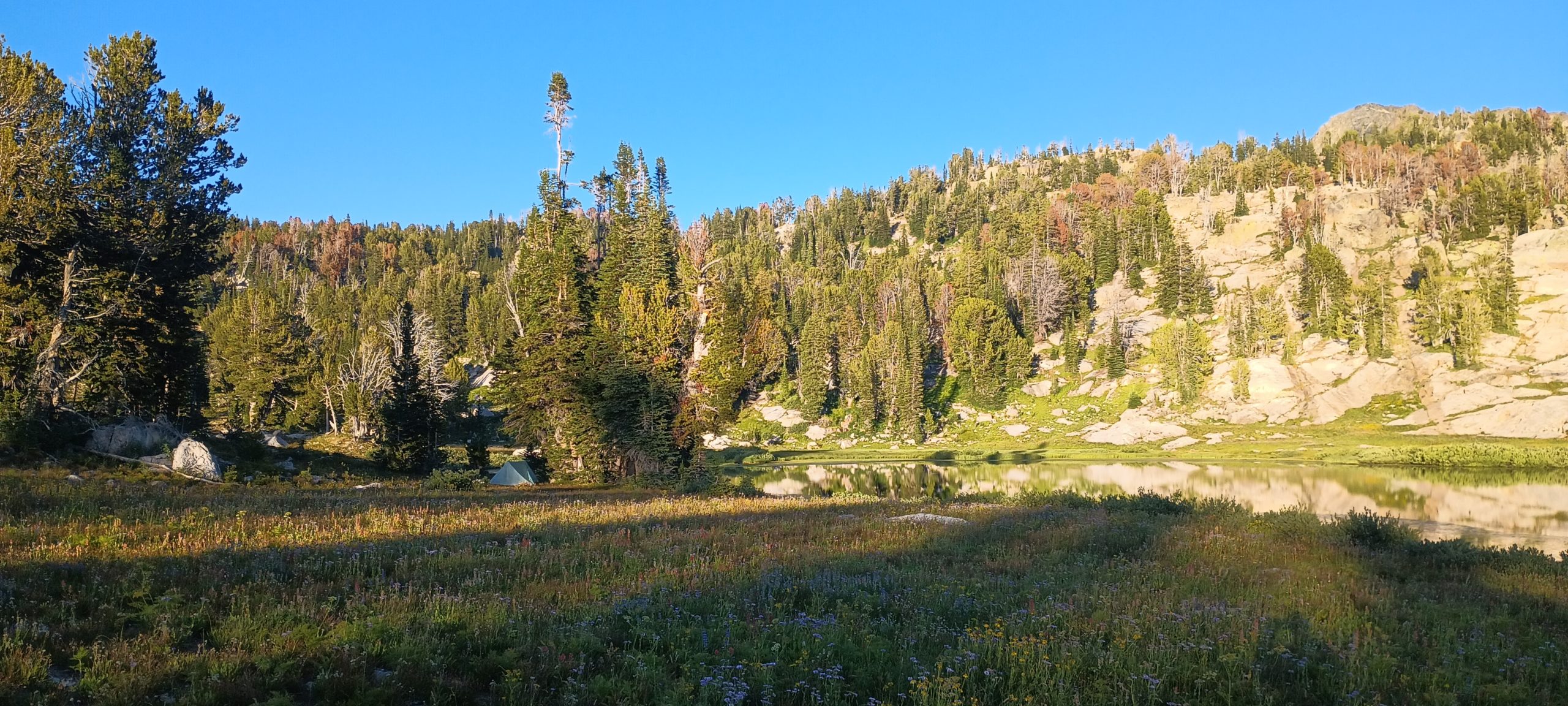
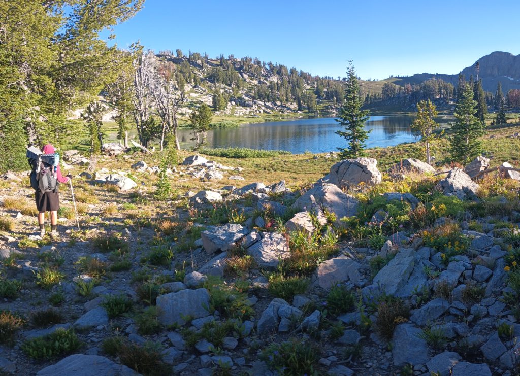
We found a perfect flat camp near the southernmost lake with a view of Littles Peak. We would leave the trail to bushwack over that peak in the morning in search of a route to Lake solitude within the national park in the morning. For now, we were still in the wilderness and perfectly allowed to camp and rest. This route was starting to look promising, but so much ahead was still unknown.