Beyond Aeroplane Mesa

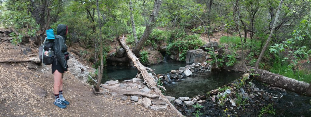
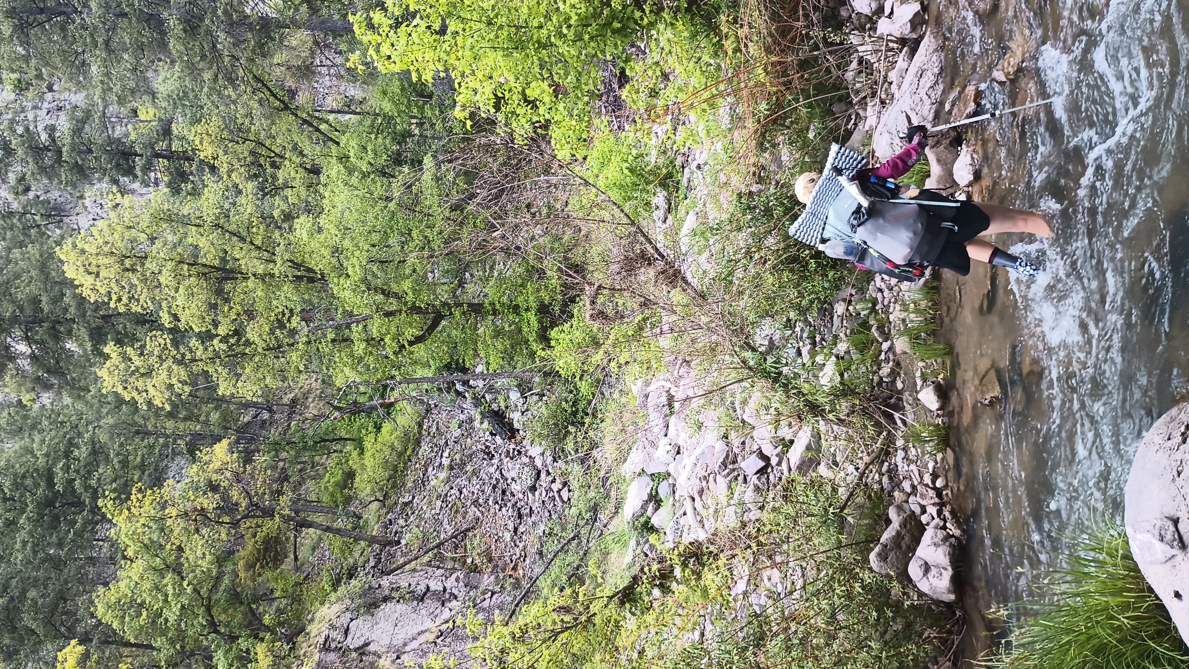
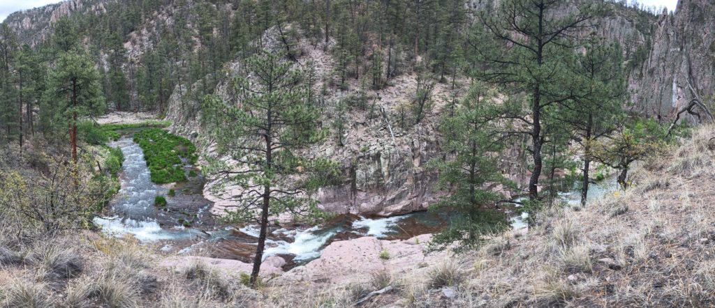
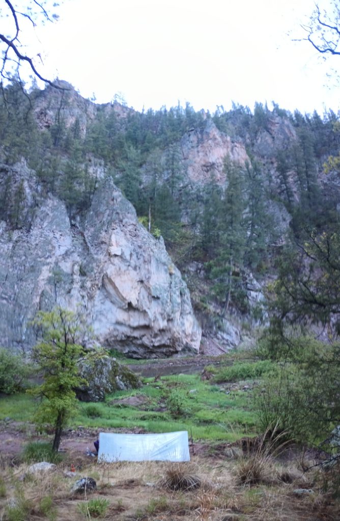
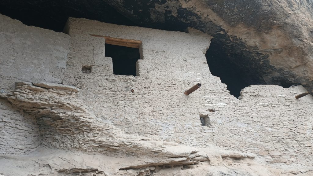
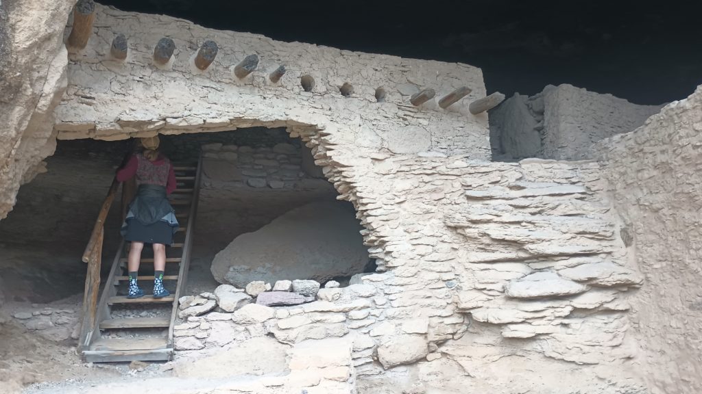
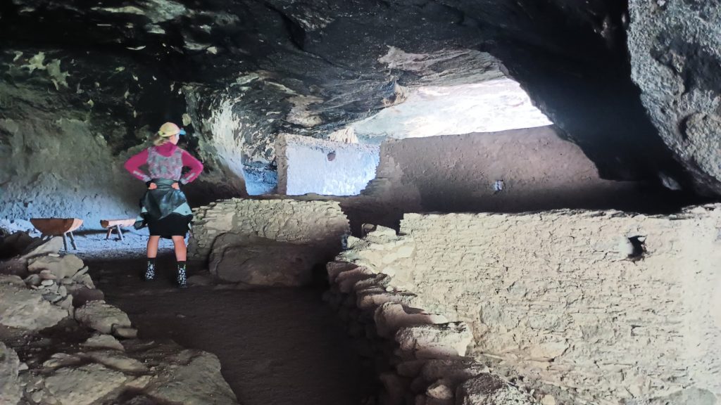
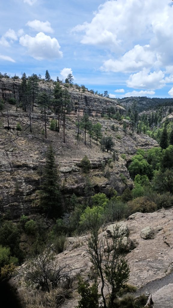
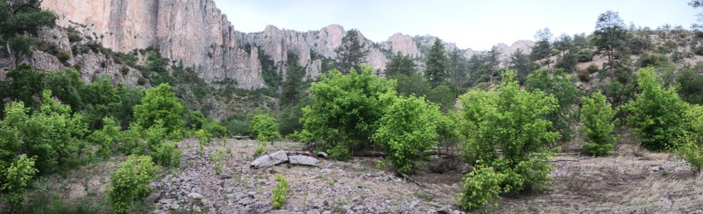
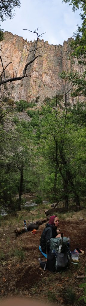
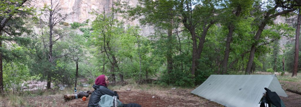
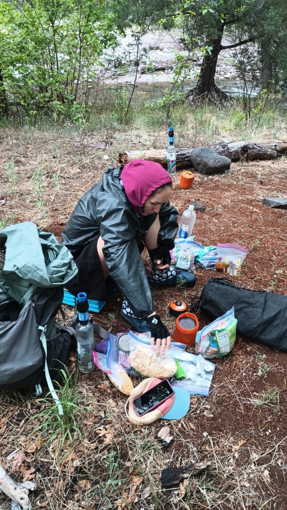
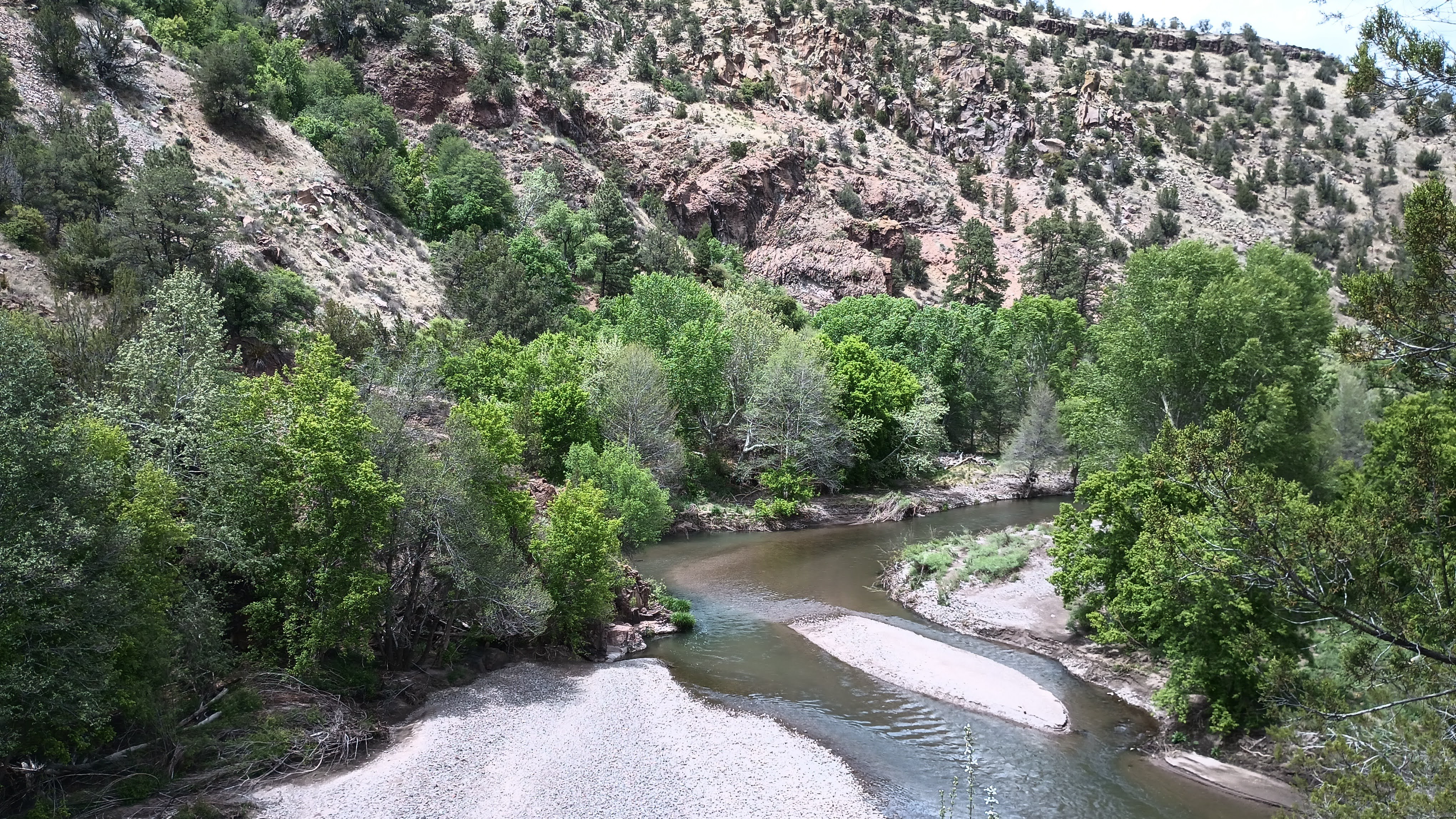
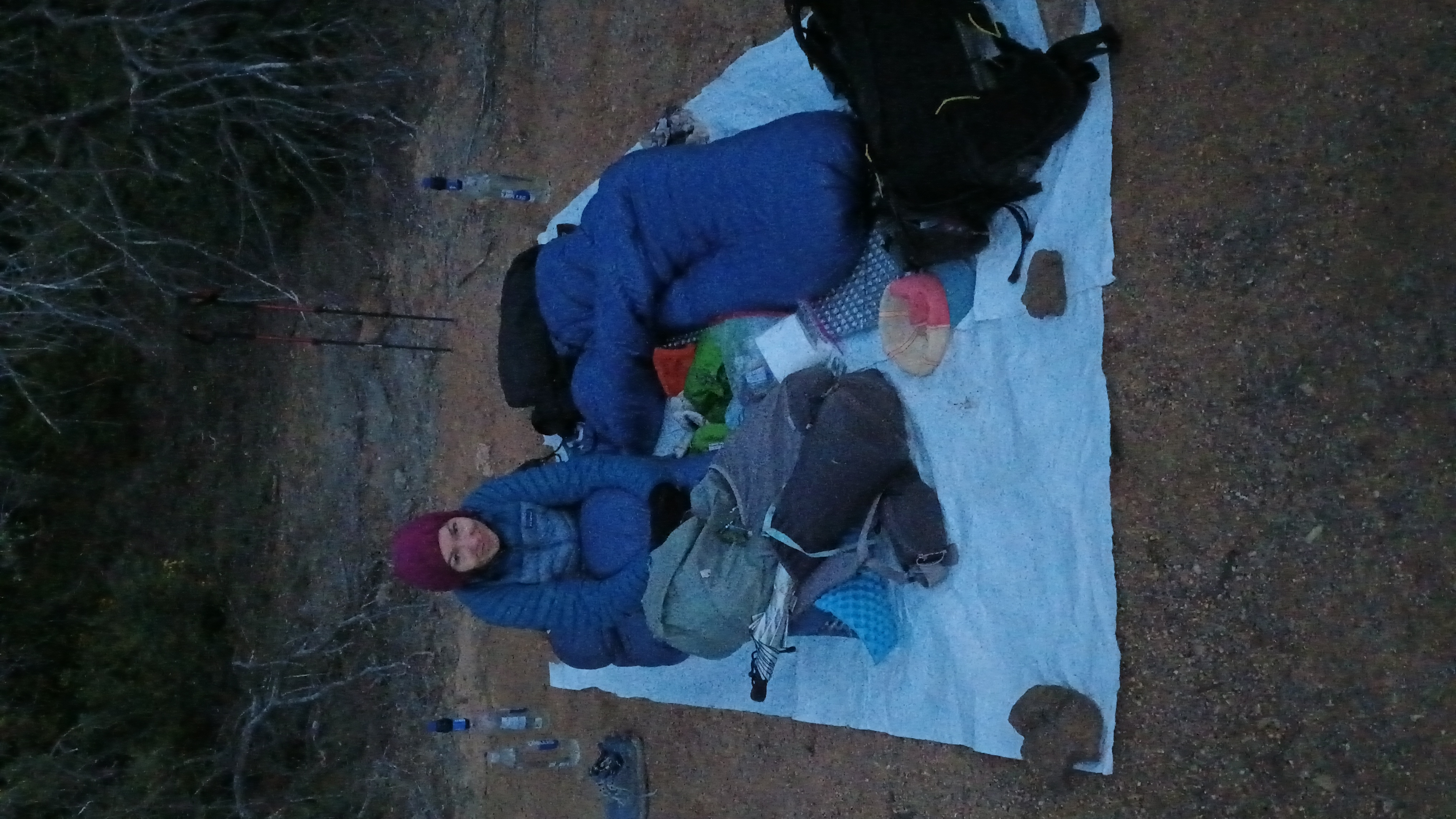
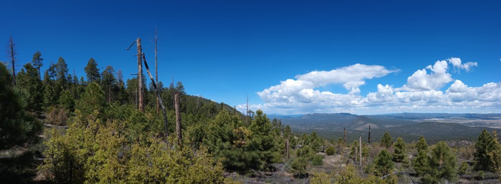
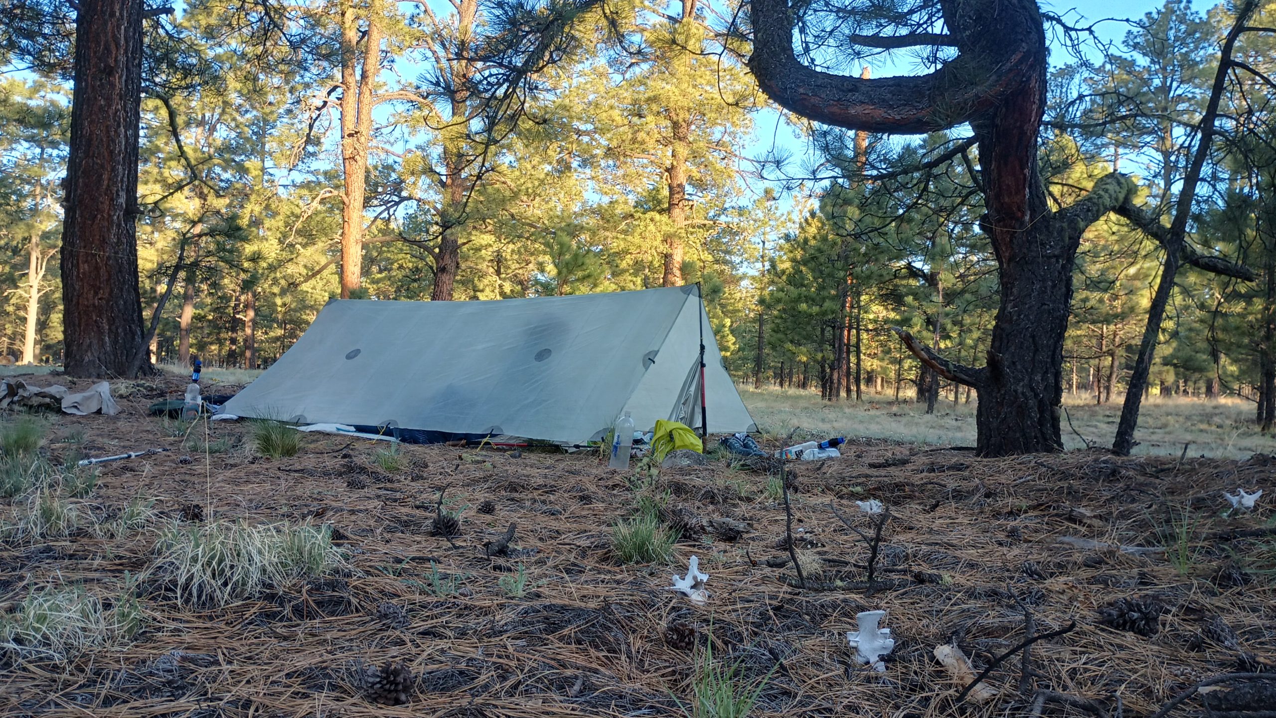
We woke up to the wolves singing but this time for the dawn. As we packed up camp we took another inventory of our food rations and what we were allowed to eat today since the Gila River took a little longer than expected.

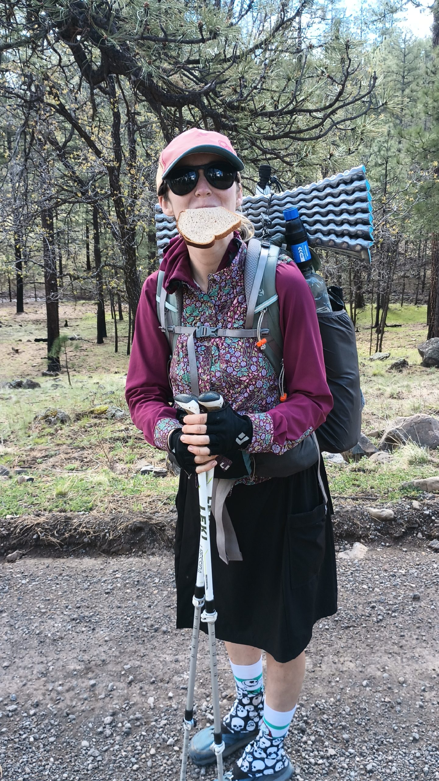
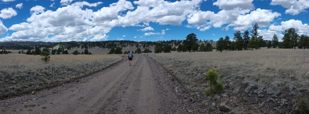
A few hours after breakfast, just when we started getting hungry, Wayne Wilkinson slowed down on the country road we were walking and asked us if we needed anything. We said we were doing pretty good until he started offering Coca-Cola, juice, and snacks (which we could really use). He also gave us most of a loaf of bread and we gave him directions as best we could to his destination.

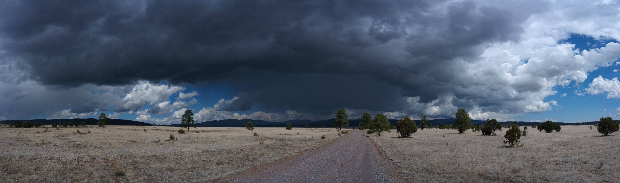
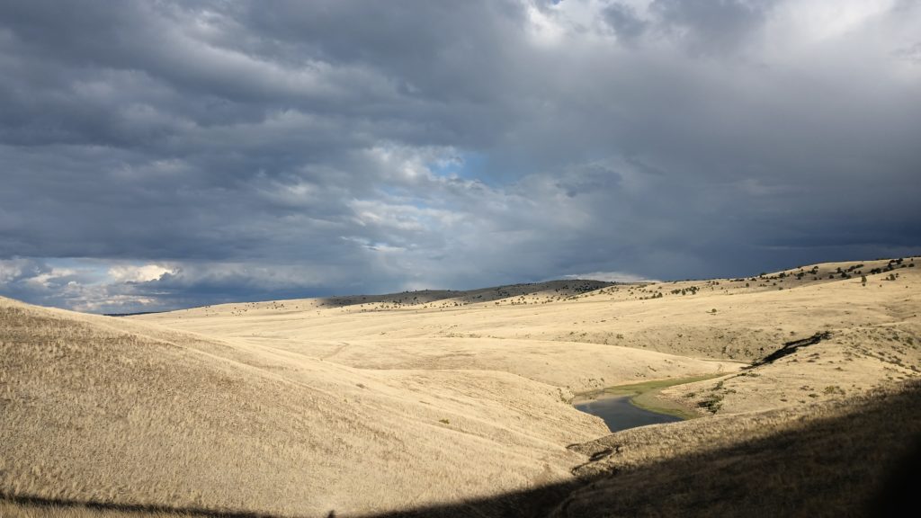
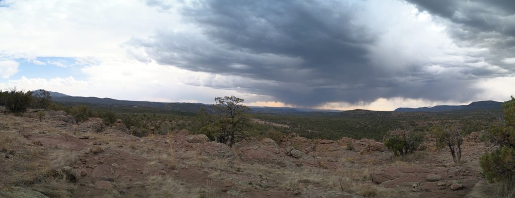
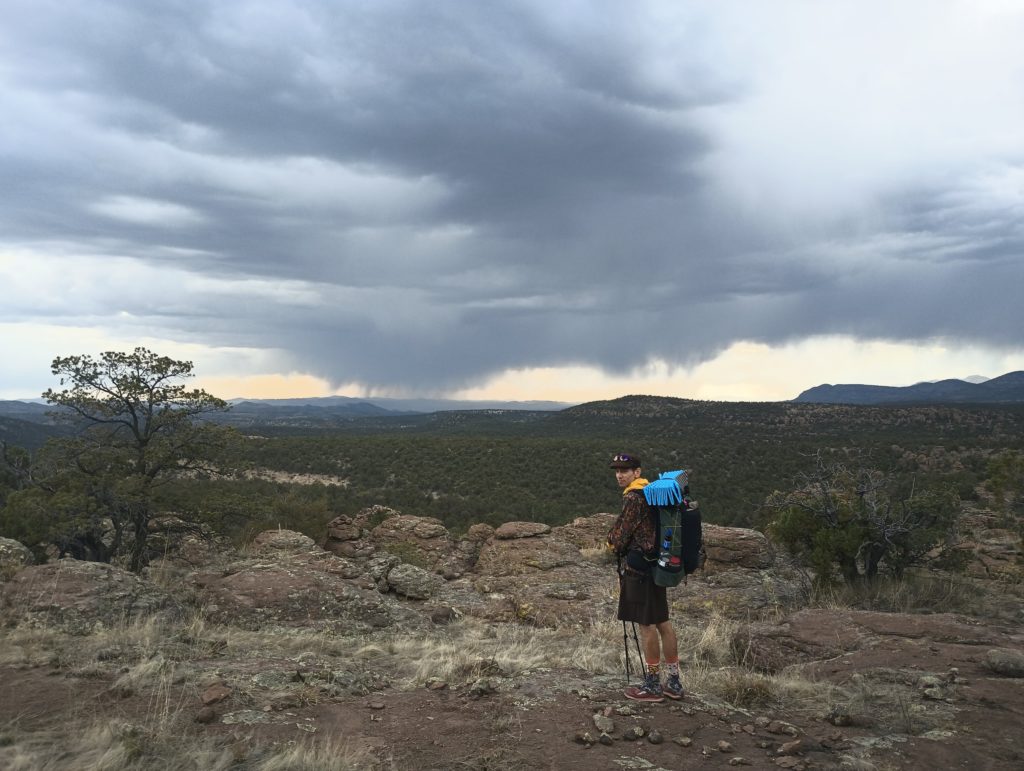
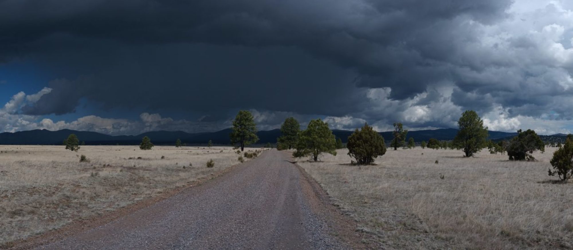
A few hours later down the same road we stopped to suit-up in rain gear as a big thunderstorm began to pass in front of us to the northeast. It moved quickly so we barely avoided it but another hailstorm came up from behind and started to unload on us. Shortly into this storm a white pickup truck pulled up and asked us if we needed a ride. Mark, Dan, and Chad cut a few hours of road walk and a couple of storms out of our hike just by moving us up the road a few miles.

Gila Middle Fork to Aeroplane Mesa

I am incredibly happy we took this route!!

I didn’t know beforehand, but the Gila Cliff Dwellings caldera and the Bursum caldera are responsible for the basin of the upper Gila river. These two supervolcanoes erupted some 30 million years ago, and the evacuation of magma caused a massive void into which the overlying material collapsed and formed these two calderas. Due to this, the cliffs cut by the middle fork are not composed of the same rock I’m accustomed to seeing along rivers. It’s often very basaltic, sulfurous, and not at all sedimentary. The history explains the hot springs found along the river too. This place is beautiful!

While hiking the Gila River and its middle fork upstream, we crossed the river a total of 187 times. Over one hundred river crossings were made in one day alone. And yes, rattlesnakes live here too as Kylie found out.

We camped across from cliffs actively crumbling into the river below, waking me once with a massive crash and plunk into the water. Tired of wet, sandy shoes and the constant trail finding, we headed up to the high route after several days in the canyon. As tough as the hiking was, it was nice to not carry water. In all we started this section with a slim 6 days of food.

By the time we reached Aeroplane Mesa, we had begun to ration our food bags a little bit. The river hiking was a slow 1.5 mph and we were running just a little low. Chased by storms we hurried across the grazing ranges in the highlands and into the national forest again for shelter from the weather. We crossed through a cattle gate and into the woods, passing the bleached bones of the cattle who wandered away and never made it back to the range. As we ate dinner and tucked into our beds, Mexican wolves sang out in the night.

Gila Cliff Dwellings

While we were in the area, we took a side trip to Cliff Dwellings National monument and we’re really glad we did. These were apparently abandoned 700 years ago, and there were still ancient corn cobs on the floor where they prepared food. After being tourists we headed back to the alternate route to go down Little Bear Canyon and eventually reach Gila Middle Fork. Little Bear Canyon gave us a preview of what was to come with steep walls & high cliff faces. It opened into the river canyon and we knew we made the right choice to come this way in spite of the weather. After a few chilly river crossings in the early evening we stopped for the day on a high bank and made camp well before sunset.

A Walk Up The River

We woke up warm and dry in our quilts and had to force ourselves to pack up our beds and down puffies and put on our cold, wet shoes. The sun was just visible over the ridge, but it would still be awhile before it’s warmth graced us. The sun was the enemy for the first 160 miles, but now we ached for it’s presence.

The first river crossing of the morning was knee deep and woke us up quick. The water was cold and swift and the sand found its way into our freshly rinsed out shoes immediately. I could still feel my feet but my calves were numb. After the second crossing we could see the sun shining on the bank just ahead. We rushed as quickly as we safely could until we were able to bask in the warm glow. We couldn’t stay still for long, there were storms in the forecast, but it was a welcome respite from the chill of the morning.

We continued on, calling out the number of crossings each time. This was like something out of a dream, meandering up an ancient river with everything I need on my back. Late in the morning we reached the 200 mile marker. We heard thunder in the distance a few times, but the weather held and my fear of lightning lives to see another day.

As we neared the end of our river hiking for the day we decided to break for lunch at a hot spring noted in FarOut. After a bit of searching we found the steaming oasis, where we ate ravenously while soaking our tired feet.

Finally, after crossing the Gila River 48 times, we had reached Highway 15. Just 1.2 miles of road walk remained to Gila Hot Springs and Doc Campbells, where our resupply was waiting. The plan for the next 120+ miles of river was still unclear. The idea of another zero day wasn’t very appealing, but we needed a break to dry out our feet and figure out what to do next. We ended up staying at Gila Hot Springs and Campground where we were told the rules, one of which states that clothing is optional in the hot springs after dark. After eating salad and fruit from Doc Campbells we found ourselves skinny dipping in a hot spring looking at the stars in the dark night sky. We’d figure out the plan tomorrow.

Silver City to the Gila River

We cut through town walking along the main highway, turned right onto a paved road leading back to the trail and began to settle into what would be a 6 mile, trudging road walk. Chances to hitch a ride were slim and the late start meant a warm temperatures already. Somewhere near the last miles we were picked up by Glider, PCT class of ’22, and Bethany who just happened to be in town for a wedding and departing from a hike in the same canyon we were entering. We hopped in, chatted, gratefully received some water, and let them shave a little time off of our morning commute. If you’re out there, Thanks! You made our morning!

The going was easy and sunny as we reached towering pine trees for the first real time on this hike. But around mid-afternoon the thunderheads we’re building and with the trees thinning as we approached Devila Garden we were definitely more exposed. The storms were opening up in the valley behind us and we quickened the pace. We made our camp just before the biggest climb which separated us from from the Gila with about an hour to spare before the storm hit just after sunset. According to Kylie it rained all night, but I slept soundly through the rest of it.

The next morning was clear and the forest pleasantly damp. This was the first of many days of afternoon storms in our future. They remind me of the monsoons in the summer down here but less Intense. The clouds begin to build by 11-12pm, the thunder starts between 12 and 1, and it almost certainly storming by 2. This day followed that pattern exactly and the sky opened up with a hail storm just at the top of the ridge. We through exposed stretches back to the shelter of the trees and by the time we really began to descend we had outrun the worst of it. A little shaken, we followed the trail to a green gate and entered the Gila Wilderness. At this point, our high route backup plan diverged to the east and away, but we both agreed we should at least see the Gila River canyon while we were so close. We walked .5 miles to the shore and knew immediately we would have to hike this river. It was beautiful! Evaluating all of the information at our disposal, we crossed Sapillo Creek, waded across the waist-deep river, and began to follow the river upstream.

Out of Silver City

We camped along the road / wash in the sand in saddle Rock canyon, one night before we would enter Silver City. In the night Kylie thought she heard something wrestling around the wash and going past our camp. In the morning we discovered fairly fresh bear prints passing our camp and followed them for about 0.2 mil3s. Who knows if that’s what we heard, but nothing really disturbed us all night.

The next morning we hitched a ride with a woman named Cindy who has section height some of this trail. She dropped us off at the local outfitter downtown, we bought gear and followed up with lunch and made our way across town to check into our hotel. Kylie’s feet needed a zero day to heal her blisters before we wait up a river. Unfortunately, I woke up in the middle of the night with stuff coming out of both ends. I was still pretty sick the next morning so he added one more night to our stay. Fat burrito? Who knows. Waterborne illnesses take longer to set in and last a lot longer than this did.

This morning we’re finally making it back to the trail. We kicked around Silver City a little bit yesterday, went to the museum, ate some local food, and started preparing alternate routes for this coming section. An unseasonable week of thunderstorms is moving in and considering our Trail follows the Middle fork of the Gila River directly, we thought it necessary to plan some high water alternates in case some of this rain reaches this watershed. We have a pretty good set of plans and exit points/backtracks to get us to another Trail so we can avoid the river if we need to. Our next stop is Doc Campbell’s post in the middle of Gila National Forest directly on the river and we will reevaluate there.

Getting into the groove


It has been a pretty good day. Kylie’s blisters and toes seem good, my foot seems great, and it feels like we’re finally hitting a stride. You get pretty rusty when you don’t thru-hike for almost 4 years, but it’s easier to get back in the groove than it is to learn for the first time. We’re finally getting the hang of the challenges in the desert. After all, the Appalachian Trail is pretty homogenous from beginning to end with only some variations in terrain, vegetation, and challenges. We’re pretty efficient hikers in the wet forests of the East Coast. We’re starting to see some efficiency in our desert hiking now too.

Since we’re just starting to hit our pace and still being mindful of our bodies limitations, we do get to go a little slower and enjoy the view more often. From a viewpoint earlier in the day we could see what I’m fairly certain was Coronado National Forest in southeastern Cochise County and maybe even a glimpse of the Chiricahuas. It’s nice to be back home in the desert. Even if it is a little different than back home, I can still almost see some of home from here. It is quite the perspective–I am many years older and a very different person, looking back on my corner of the world from afar.

Cow Camp to Jack’s Peak

After leaving the cow camp we made our way back to the trail and found a nice sandy spot in a wash with excellent wind shelter. The Moon was wanig so it rose a little bit later and gave us a chance to see a very dark sky and beautifully bright stars. Several deep sky objects were clearly visible as little smudges in the completely dark sky! It was the best sky we’ve seen on trail this far, and probably the best campsite we selected on this trip. We slept great until the blinding moon rose right above the wash, but I put my hat over my face and promptly went back to sleep.

Hiking out the next morning, we both took turns struggling a little bit. Kylie had some difficult blisters pop up in between her toes where it’s nearly impossible to keep it bandage adhered. My legs were a bit sore but on a brighter note my ankle was doing wonderfully! I’m very confident this will be able to heal and improve over the coming weeks and still allow me to hike. Around midday we took lunch near a water source with Cheese and Chocolate, two hikers from Switzerland we met a few days prior, and started the first real climb over a mountain on this whole trip. Up until this point in the trip the trail started pretty flat with some minor ups and downs. But now we were in the heart of Gila National Forest (the first section, not the one with the Gila River) and the tall junipers, pines, and other trees gave us some much-needed shade. Just before we reached a parking area we met a day hiker named Scott on the trail (and later his awesome dog Sojourn) who told us to follow him to some trail Magic ahead. Turns out he is also from near Kylie’s home town, and has been working remotely from campsites for some time. He sometimes caravans with a friend who drives an RV. We chatted for a bit, let him return to work, and walked over to the RV next to his car. About that time Phoenix, a trail angel who has been living out of said RV along with her rescue Greyhound and cat, pulled up in a jeep with groceries and gave us our first and totally unexpected Trail magic of this trip. We ate donuts, frozen grapes, watermelon, bananas, cupcakes, and took some tea for a later evening. She was very sweet, quite chatty, and a wonderful human being who totally made our day! We stayed a little longer than anticipated which shortened our mileage for the day, but it was totally worth it. This was a pretty remote stretch and we didn’t expect to see anyone other than hikers for the next several days. Cheese and Chocolate arrived just before we left and were promptly welcomed too.

We started our climb to Jack’s peak and burro peak to a cistern on top of the mountain. After refilling our water we decided to stop for the day, eat dinner, and get to bed early. Kylie had another blister which would need attention in the morning but we felt satisfied and were ready for sleep. We cowboy camped near the ruins of an old home site and called it a day.