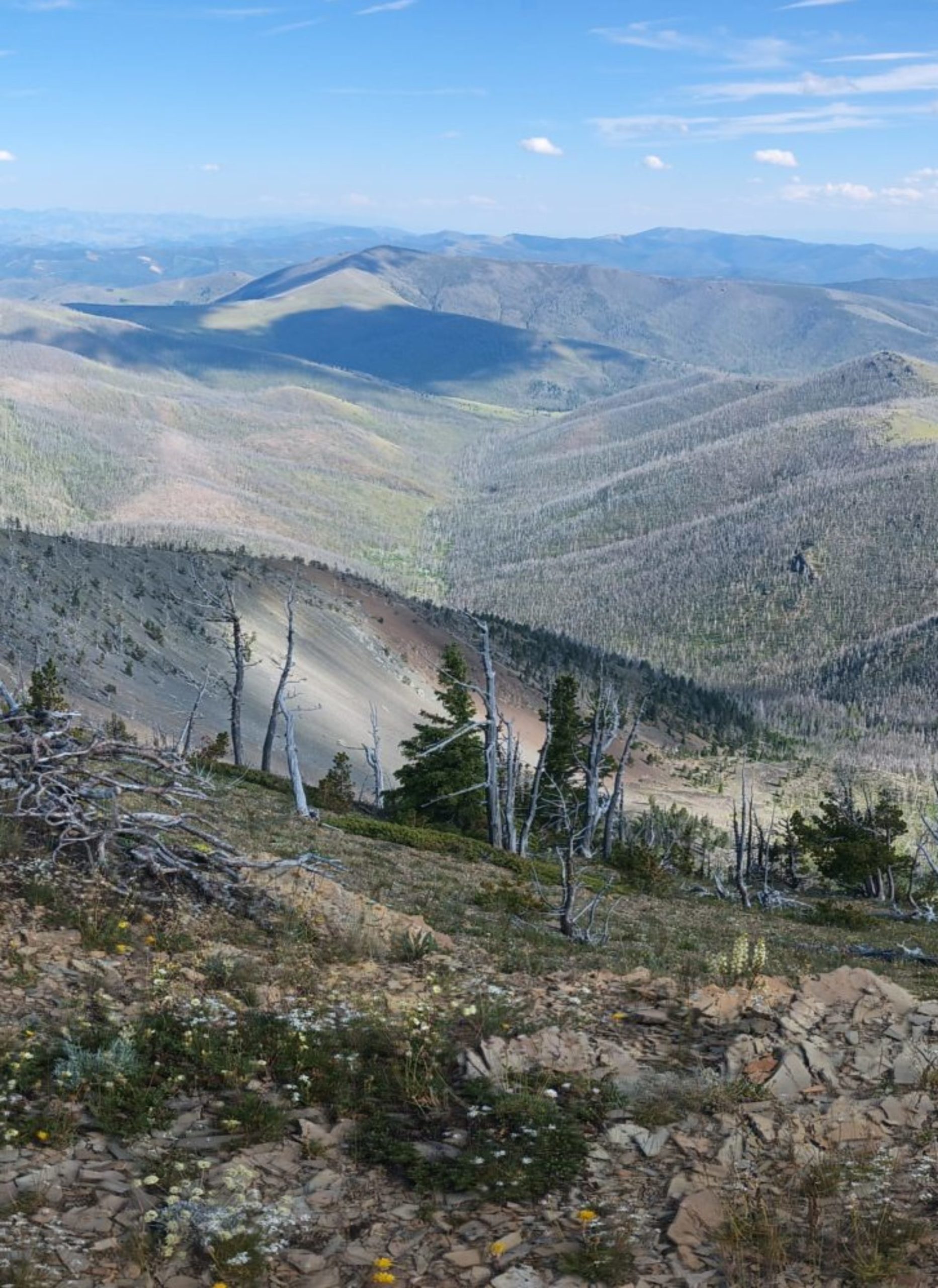
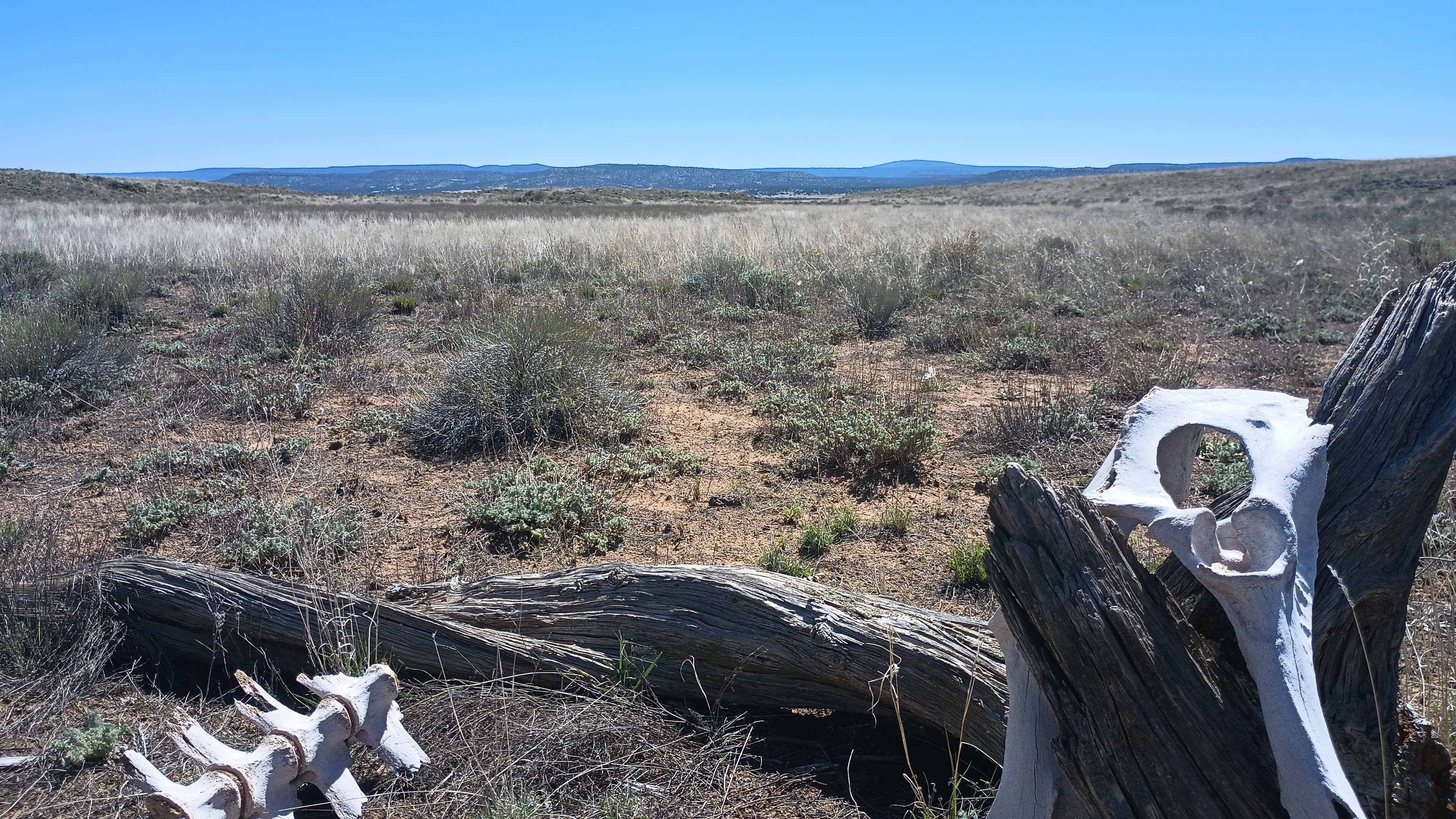
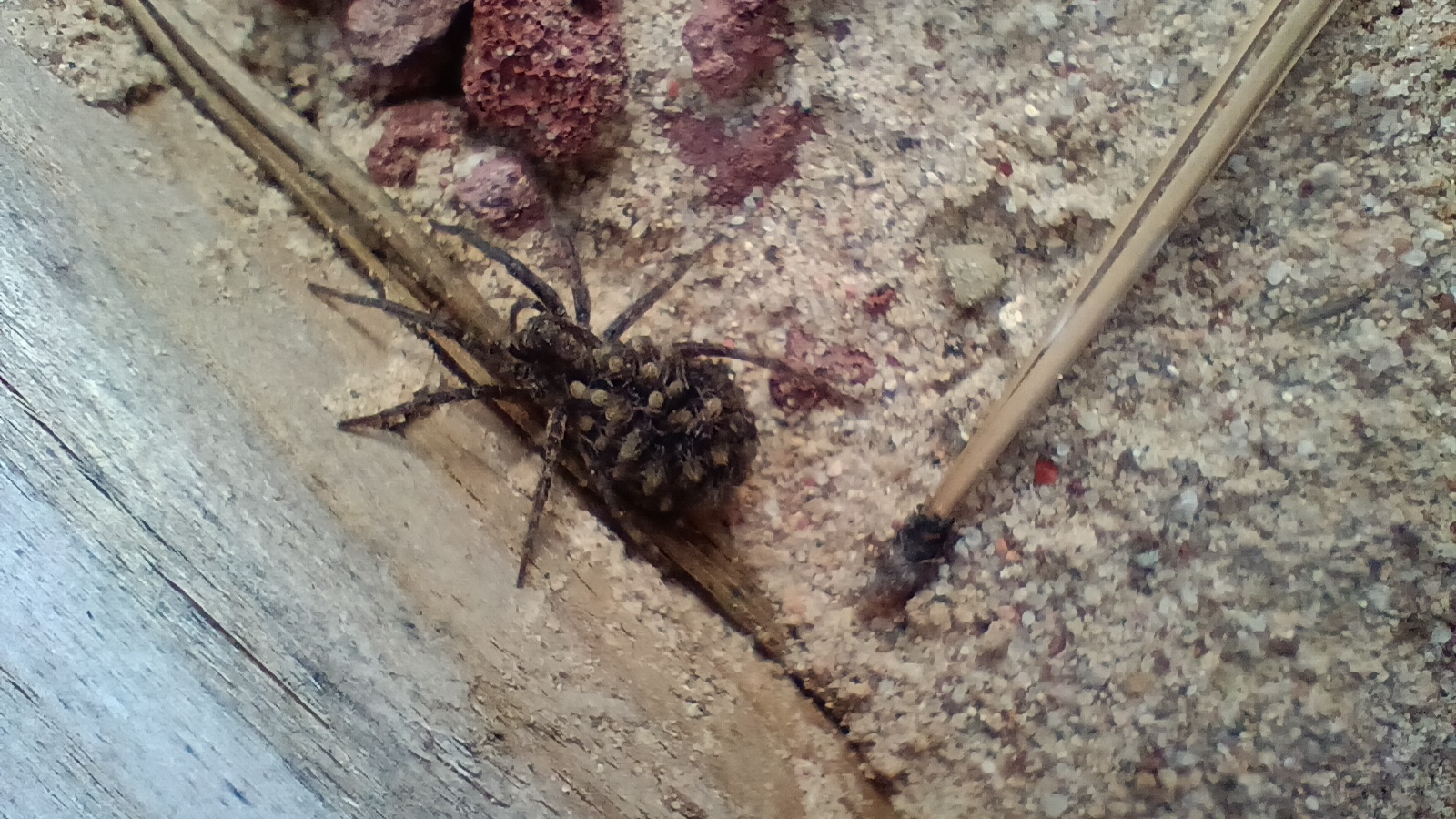
We were sitting at the Toaster House mulling over plans and exchanging ideas with other hikers, several of whom were planning to take the alternate route to skip El Malpais and the Chain of Craters. Water and time were the two resources seemingly in the shortest supply. More time means a heavy food carry, and scarce water means an even more weight between sources. The alternate cuts the route by about 1/3 but is almost entirely road walk. Going through all of the lava flows and rugged country in the longer route is so much more scenic and I didn’t want to miss it at all. My dad once took my sister and I to a cabin in El Malpais when I was young and I really wanted to see it again.
We met a local hiker and cyclist while eating at Ohana (a local diner) who offered to cache some water for us near his home and along our route. Thanks Cousin Eddie! He gave us some info on water sources as well so with this and the other info we gathered, we sketched a plan on a napkin and took a gamble–if we hurried we could take the longer route on minimal food but if we got lucky we could skip some of the straight, mundane road walk by hitching. Either way we could make it through El Malpais, but the later would give us more time to enjoy it.
As it turned out, a dude named Jeff picked us up in his pickup and carried us down the road to the trailhead at the start of the Chain of Craters. Even more fortunately, he personally maintains a section of the CDT in Colorado near his home and is a hiker and cyclist too. We got a ton of great information on the Colorado section of the trail and snow conditions, further solidifying our decision to flip to the north and finish the hike southbound. He left us to go catch his flight back home that day, and we started out over the lava fields with tons of food and a leisurely pace. We would have to make 20+ miles the next day for water and camp, but this day was going to be easy. We were going to get to be tourists and still hike the same distance as the alternate.
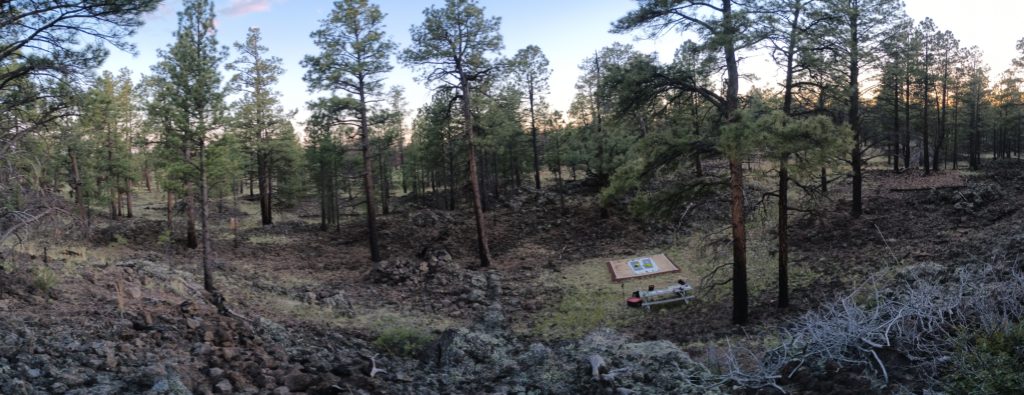
The first day’s camping was hard and rocky, but day 2 took us to the Hiker Hideout–a campsite with sand tent pads maintained by ranger Ross. After that bigger day, we slowed down to enjoy this section.
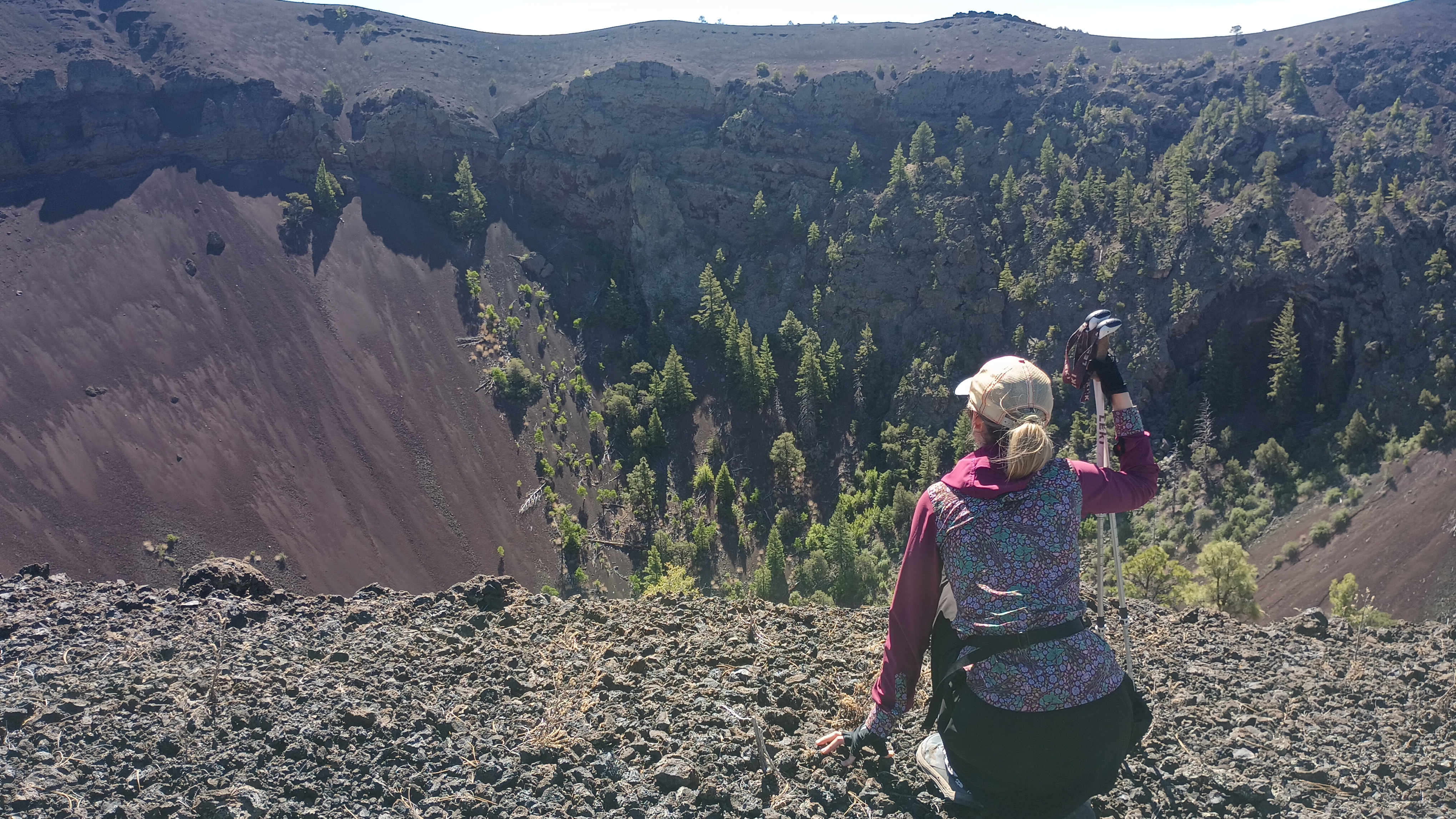
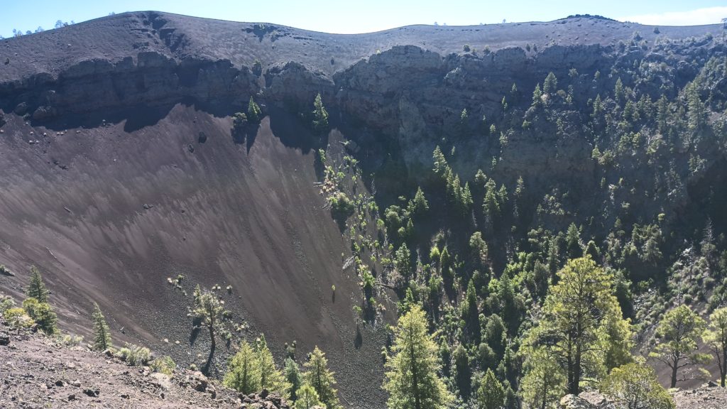
The third morning we climbed to the rim of an extinct volcano and tried to connect back to a trail on the map but were obstructed by a deep, wide trench of lava flow and backtracked around to a small store on the other side. Turns out, that store charges admission to hike a little trail to the base of said volcano. Feeling unaware and a little guilty, we paid the admission since we got a much better hike and a superior view anyway and meant no harm. I wonder what the tourists on the little trail thought about two brightly colored hikers in full gear scrambling around this volcano off in the distance…
Later that evening as we were making dinner at another trail head, a couple of rangers were starting a public tour of a trail we just finished hiking. We joined the group (at a slight distance since we were so damn smelly!) And listened to the presentation on bats at scheduled stops along the way. This trail led us past huge lava tubes, sinkholes and caves to one with an active bat colony where everyone sat down at sunset in hopes of watching the bats emerge. A few noisy kids seemed to keep most of the bats away until the sun fully set and the group left. We sat silently for at least another hour into the night as the bats finally started to show and the stars grew brighter. We hiked back to the trailhead and stealth-camped in a ditch where we finally found some soft sand. The next morning we set out to navigate by cairns through the last lava fields and lava tubes to Zuni Canyon where we turned north and set foot on the most normal dirt we had seen in almost a week.
